Information
Landmark: Fierza LakeCity: Kukes
Country: Albania
Continent: Europe
Fierza Lake, Kukes, Albania, Europe
Fierza Lake (Liqeni i Fierzës) is a massive artificial reservoir located in northeastern Albania, stretching across the districts of Kukës, Pukë, and Tropojë. It was created by the damming of the Drin River and serves as the primary water source for the Fierza Hydroelectric Power Station.
Visual Characteristics
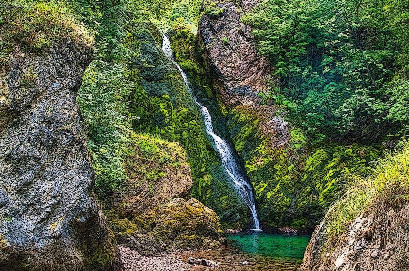
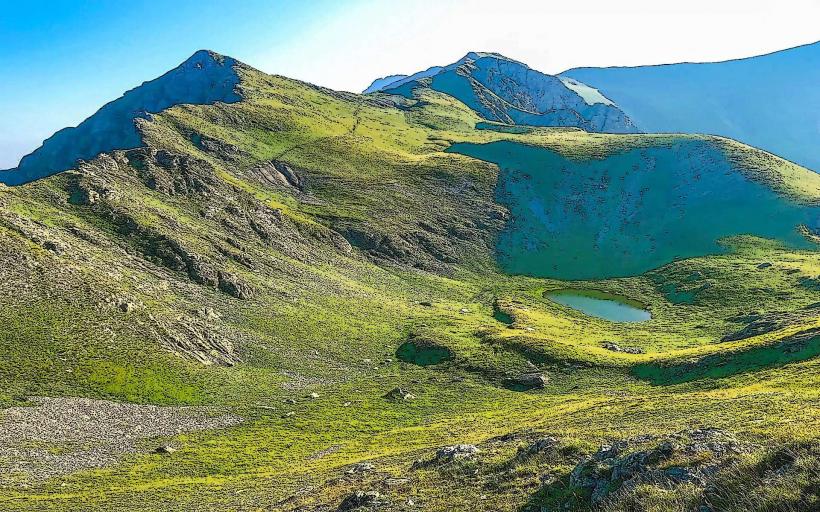
The lake is characterized by its deep emerald-green water and its jagged, fjord-like shoreline. It covers a surface area of approximately 72 square kilometers and reaches depths of over 120 meters near the dam. The surrounding landscape consists of steep limestone cliffs, Mediterranean scrub, and dense oak forests. During the dry season, high watermarks are visible on the canyon walls, exposing the white limestone base of the mountains.
Location & Access Logistics
The lake is accessed via the SH5 highway from Shkodër or the SH23 from Kukës. The primary transit point for visitors is the ferry terminal at Koman or the port at Fierza (near Bajram Curri). The journey from Kukës city center to the lakeside is approximately 10 kilometers via paved roads. Public transport consists of minibuses (furgons) connecting Shkodër and Tirana to the ferry departure points. Parking is available at the Fierza and Koman docks.
Historical & Ecological Origin
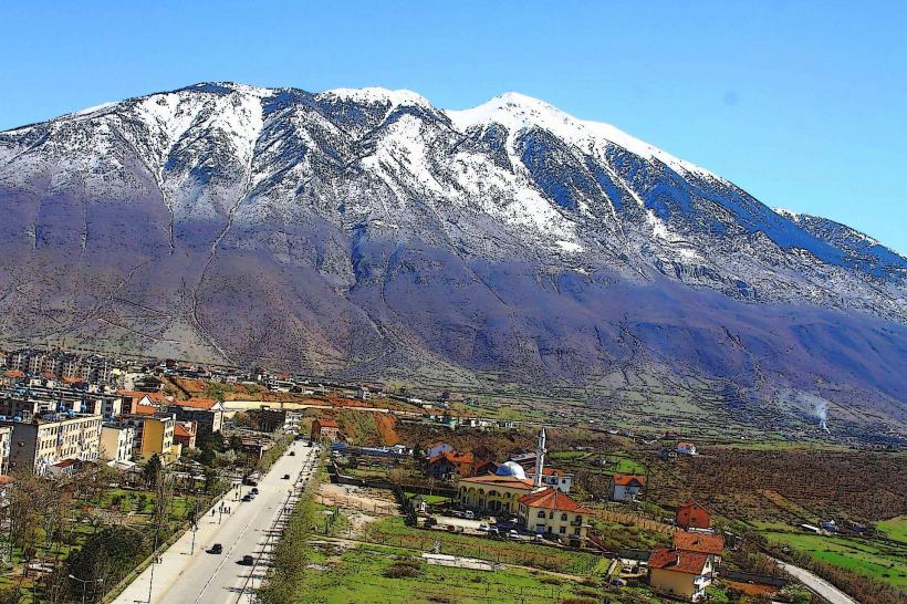
Fierza Lake was formed in 1978 upon the completion of the Fierza Dam, a 167-meter-high rock-fill structure. The project resulted in the flooding of several ancient settlements and the relocation of the city of Kukës to its current "New Kukës" location. Ecologically, it is a deep-water reservoir that has created a unique alpine-aquatic habitat, though it is subject to significant siltation from the Drin and White Drin rivers.
Key Highlights & Activities
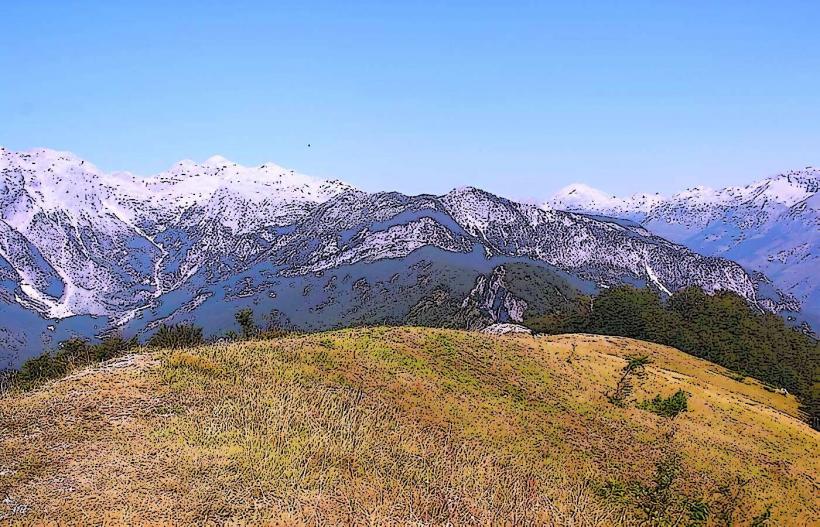
The primary activity is the Lake Koman Ferry trip, which traverses the reservoir's narrowest canyons. Small-scale artisanal fishing for carp and trout is conducted by locals. Kayaking and boat tours are available, particularly in the secluded side branches of the lake. Photography focuses on the vertical cliffs and the reflection of the Albanian Alps on the water surface.
Infrastructure & Amenities
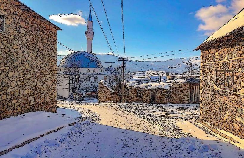
Infrastructure is concentrated around the ferry terminals at Koman and Fierza. These areas offer basic cafes, small grocery kiosks, and public restrooms. There are no formal amenities along most of the shoreline. Cellular signal (4G) is reliable near the cities of Kukës and Bajram Curri but is frequently lost when entering the deep, winding canyon sections of the lake.
Best Time to Visit
The best time for the ferry transit and photography is from May to September when the weather is stable and the water levels are high. Early morning departures provide the best lighting for the canyon walls. During winter (January–March), high winds and heavy rainfall can lead to ferry cancellations and reduced water transparency due to sediment runoff.
Facts & Legends
A verified historical oddity is that the "Old Kukës" city remains entirely submerged beneath the lake's surface; during extreme droughts when water levels drop significantly, the tops of some stone buildings and ruins occasionally become visible. Local lore often speaks of the "Underwater City," and it remains a point of cultural significance for the residents who were relocated during the dam's construction.
Nearby Landmarks
Fierza Hydroelectric Dam: 0.5km North
Valbona River Mouth: 2.0km Northwest
New Kukës City: 12.0km Southeast
Shala River Mouth: 15.0km West
Mali i Gjallicës: 18.0km Southeast