Information
Landmark: Blue Ridge ParkwayCity: Asheville
Country: USA North Carolina
Continent: North America
Blue Ridge Parkway, Asheville, USA North Carolina, North America
The Blue Ridge Parkway is a scenic roadway traversing the Appalachian Highlands of Virginia and North Carolina. It connects Shenandoah National Park to the Great Smoky Mountains National Park.
Visual Characteristics
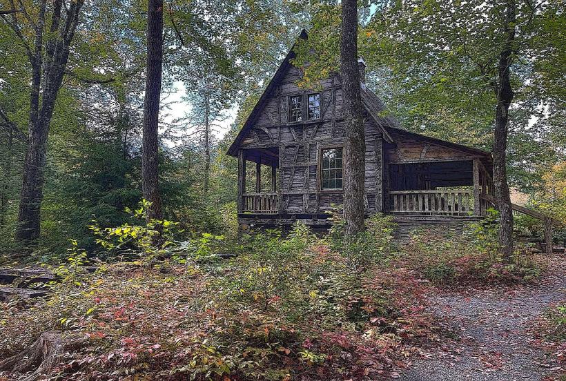
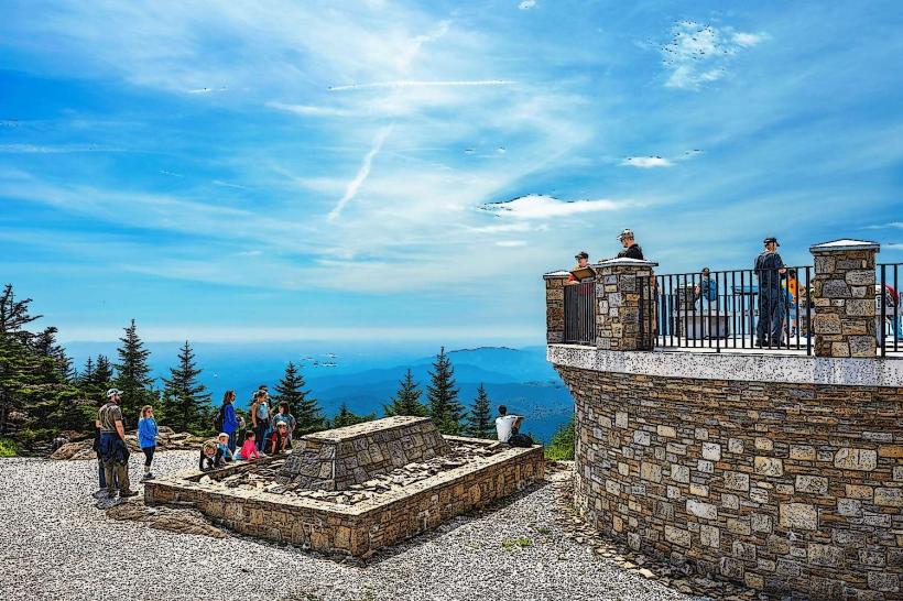
The Parkway is a two-lane, paved highway with a speed limit of 45 mph. It is characterized by its winding path, numerous overlooks, and stone-and-wood structures such as bridges and visitor centers. The surrounding landscape consists of deciduous forests, rolling mountains, and occasional open meadows. Elevation varies significantly along its route.
Location & Access Logistics
In the vicinity of Asheville, North Carolina, the Parkway can be accessed via multiple entry points. Key access roads include U.S. 276 (Milepost 412), U.S. 191/Brevard Road (Milepost 393.6), and U.S. 70/Black Mountain (Milepost 382). Asheville Regional Airport (AVL) is approximately 15 miles south of a primary Parkway access point. Parking is available at designated overlooks and visitor centers. Public transport does not directly serve the Parkway; private vehicle or tour bus is required.
Historical & Ecological Origin
Construction of the Blue Ridge Parkway began in 1935, initiated by the federal government as a public works project during the Great Depression. The primary purpose was to provide employment and create a scenic drive through the Appalachian Mountains. The route was carefully planned to minimize environmental impact and integrate with the natural topography. The region is part of the Appalachian temperate rainforest ecosystem.
Key Highlights & Activities
Activities include driving and stopping at overlooks for views. Hiking is permitted on designated trails, such as the Mountains-to-Sea Trail which intersects the Parkway. Photography is a common activity, particularly at sunrise and sunset. Ranger-led programs are offered seasonally at visitor centers.
Infrastructure & Amenities
Restrooms are available at major visitor centers and some picnic areas. Shade is abundant due to the forested environment. Cell phone signal is intermittent and generally unreliable along most of the Parkway. Food vendors are not present directly on the Parkway; visitors should plan to bring their own provisions or dine in nearby towns.
Best Time to Visit
For photography, early morning and late afternoon offer optimal lighting conditions. The months of October and November provide peak fall foliage colors. Spring (April-May) offers blooming wildflowers. Summer months can be crowded. Winter conditions may lead to temporary road closures due to ice and snow.
Facts & Legends
The Blue Ridge Parkway is the most visited unit in the U.S. National Park System. A specific tip for visitors is to check the official Parkway website for current road conditions and potential closures before departure, as weather can rapidly affect accessibility.
Nearby Landmarks
- Great Smoky Mountains National Park (0.1km West, connecting terminus)
- Mount Pisgah (5km Southwest)
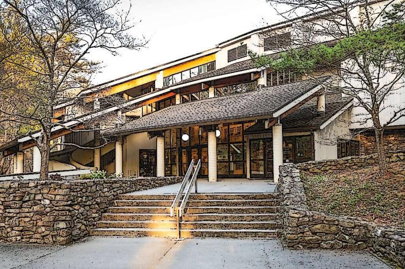
- Folk Art Center (8km Northeast)
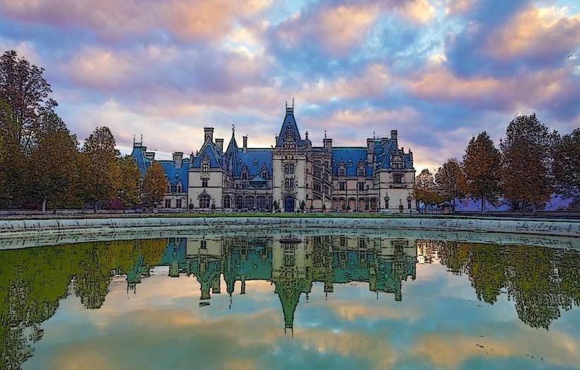
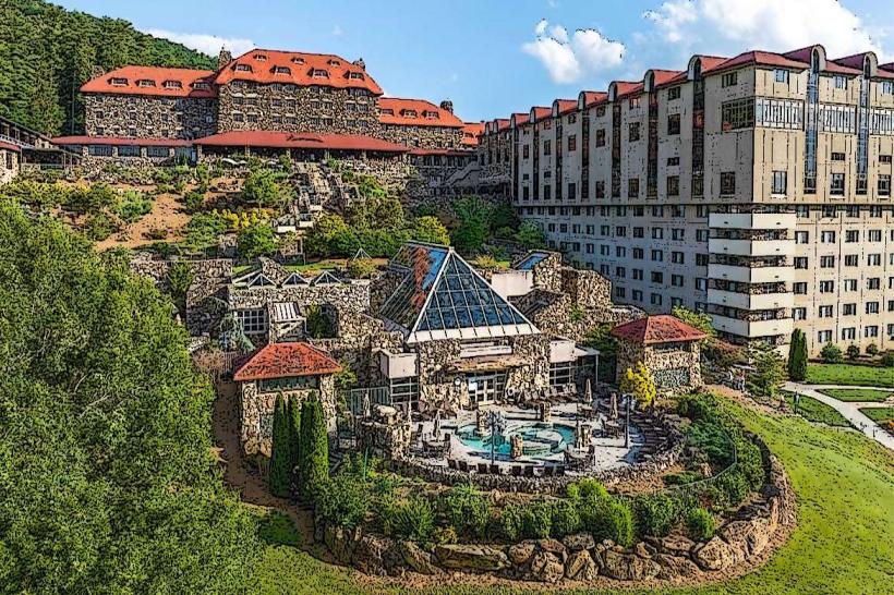
- Biltmore Estate (12km Southeast)
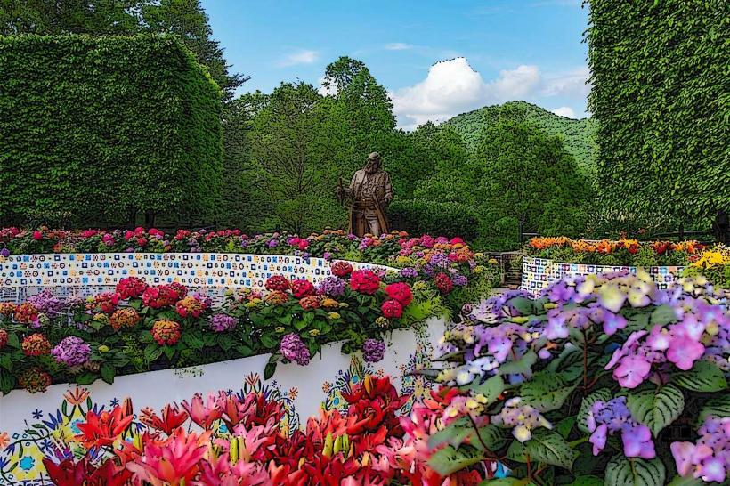
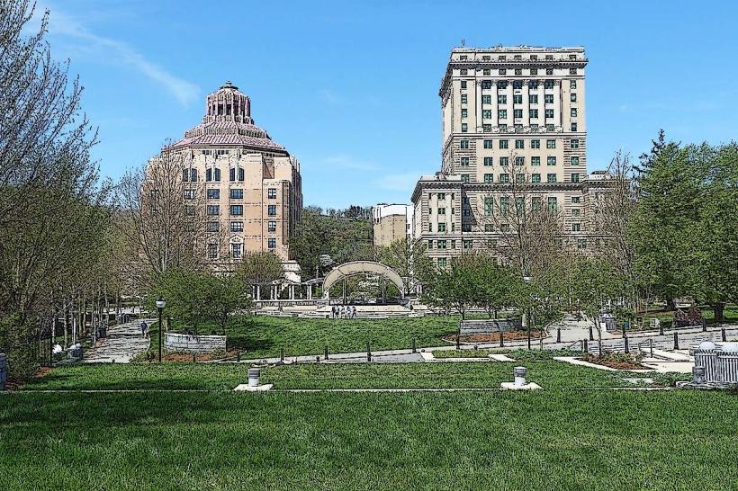
- Downtown Asheville (15km Southeast)