Information
Landmark: Mount Mitchell State ParkCity: Asheville
Country: USA North Carolina
Continent: North America
Mount Mitchell State Park, Asheville, USA North Carolina, North America
Mount Mitchell State Park is a protected area in Yancey County, North Carolina, USA. It encompasses the highest peak in the eastern United States.
Visual Characteristics
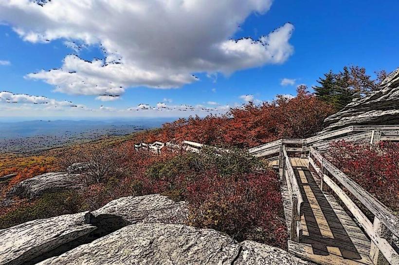
The summit area of Mount Mitchell is characterized by a rocky, exposed peak with sparse vegetation, primarily consisting of stunted spruce and fir trees. The surrounding slopes are densely forested with a mix of deciduous trees like oak and maple, and coniferous trees such as pine and hemlock. The terrain is steep and rugged, with numerous rock outcroppings.
Location & Access Logistics
Mount Mitchell State Park is located approximately 32 miles (51 km) northwest of Asheville, North Carolina. Access is via the Blue Ridge Parkway (Milepost 355). From the Parkway, take State Road 128 (Mount Mitchell Road) for 4.7 miles to the park entrance. The road is paved and open seasonally, typically from April through November, weather permitting. Parking is available at the summit parking area. Public transport is not available to the park entrance.
Historical & Ecological Origin
Mount Mitchell is a part of the Black Mountains, an ancient mountain range formed by geological uplift and erosion over millions of years. The summit was named after Elisha Mitchell, a professor at the University of North Carolina, who claimed it was the highest peak in the eastern United States in the mid-19th century. The park was established in 1915, making it North Carolina's first state park.
Key Highlights & Activities
Hiking is a primary activity, with trails ranging from the paved summit trail to more strenuous backcountry routes. The summit trail leads to an observation deck offering panoramic views. Ranger-led programs are offered during peak season. Camping is available at designated campsites. Birdwatching is popular, especially during migration periods.
Infrastructure & Amenities
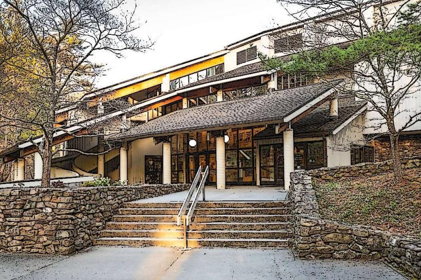
Restrooms are available at the summit and campground. Picnic areas with tables and grills are located near the summit. There is a concession stand at the summit that operates seasonally, offering snacks and souvenirs. Cell phone signal is intermittent and unreliable within the park.
Best Time to Visit
The best time for clear, expansive views from the summit is typically during autumn (September-October) for fall foliage and crisp air, or early morning in spring and summer before clouds typically form. The park road is closed during winter months due to snow and ice. High tide is not a relevant factor for this mountain location.
Facts & Legends
A unique aspect of Mount Mitchell's ecology is its "acid rain damage" which has impacted the spruce-fir forest ecosystem. The summit is often significantly colder than the surrounding lower elevations, experiencing frost and even snow in summer months.
Nearby Landmarks
- Blue Ridge Parkway (0.1km West)
- Craggy Gardens (15km Southeast)
- Linville Falls (30km North)
- Grandfather Mountain (40km North)
- Chimney Rock State Park (50km Southeast)