Information
Landmark: Bow River PathwayCity: Calgary
Country: Canada
Continent: North America
Bow River Pathway, Calgary, Canada, North America
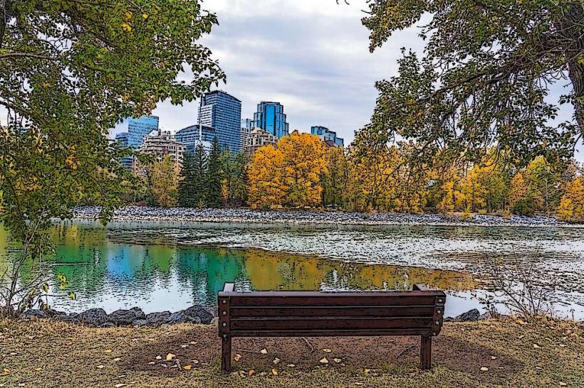
The Bow River Pathway is a network of paved multi-use trails situated along the Bow River in Calgary, Alberta, Canada. It provides access to various points of interest and recreational opportunities throughout the city.
Visual Characteristics
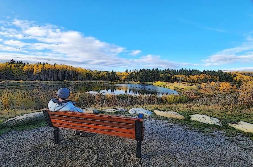
The pathway is predominantly asphalt, varying in width from 2 to 4 meters. It follows the natural contours of the Bow River, with sections passing through urban parkland, alongside commercial districts, and through more naturalized riverine environments. Vegetation includes mature deciduous and coniferous trees, with open grassy areas and riverbanks.
Location & Access Logistics
The Bow River Pathway extends for approximately 58 kilometers within Calgary. Access points are numerous, with major trailheads located at Prince's Island Park, Edworthy Park, and the East Village. Parking is available at designated lots within these parks and at various street parking locations adjacent to the pathway in urban areas. Public transport options include numerous Calgary Transit bus routes that stop near access points, with specific routes like the 3, 4, 5, 6, and 101 providing direct access to downtown sections. The CTrain also has stations within walking distance of several pathway segments.
Historical & Ecological Origin
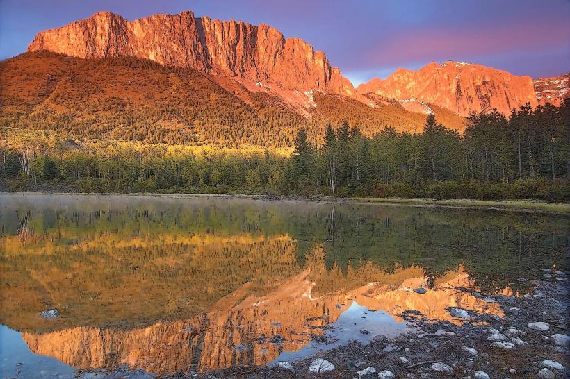
The development of the Bow River Pathway began in the late 1960s as part of Calgary's urban planning to integrate green spaces and recreational corridors. The pathway follows the natural course of the Bow River, which is a glacial meltwater river originating in the Canadian Rockies. The surrounding land is part of the prairie ecosystem, with riparian zones supporting diverse plant and animal life.
Key Highlights & Activities
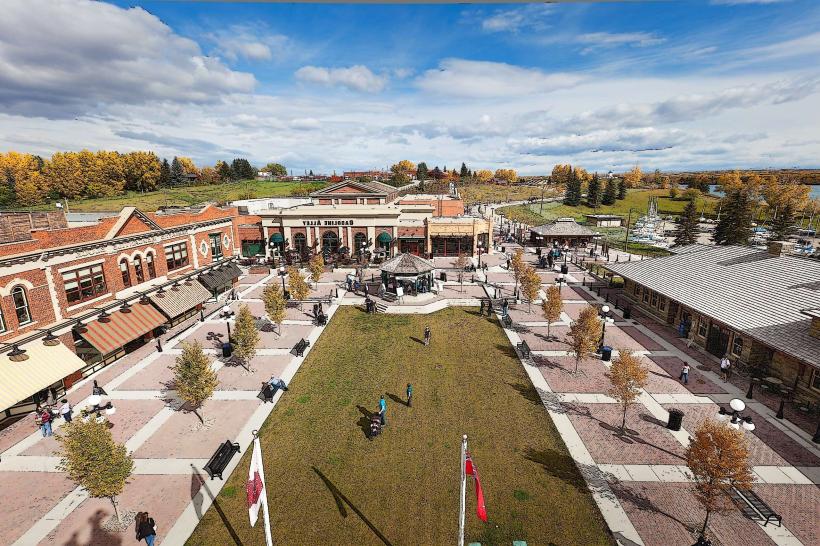
Activities include cycling, jogging, walking, and rollerblading. Specific sections are designated for birdwatching. Kayaking and canoeing are possible on the Bow River, with access points at various parks. The pathway connects to numerous city parks, including Prince's Island Park, St. Patrick's Island, and Edworthy Park, which offer picnic areas and playgrounds. Fishing is permitted in designated areas of the Bow River.
Infrastructure & Amenities
Restrooms are available at major park access points and some intermediate locations. Shade is provided by mature trees along many sections. Cell phone signal (4G/5G) is generally strong throughout the pathway. Food vendors are present in proximity to major parks and downtown sections, with restaurants and cafes accessible from the pathway in the East Village and downtown core.
Best Time to Visit
For photography, early morning (7:00 AM - 9:00 AM) and late afternoon (4:00 PM - 6:00 PM) offer optimal lighting conditions. The best months for comfortable outdoor activity are May through September, with average temperatures ranging from 15°C to 25°C. Winter months (November to March) can be cold with snow and ice, making some sections less accessible for cycling or rollerblading.
Facts & Legends
A unique aspect of the Bow River Pathway is its integration with the city's flood mitigation infrastructure, particularly in the East Village. The pathway's elevation and design in certain areas were influenced by flood risk assessments. Local lore sometimes refers to the river's "moods" based on its water level and clarity, though these are not scientifically verified.
Nearby Landmarks
- Prince's Island Park (0km, Central)
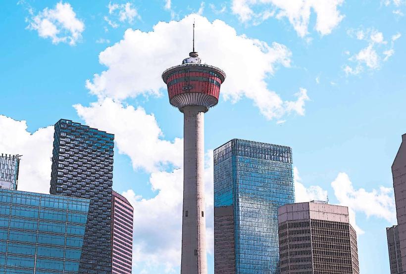
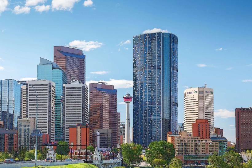
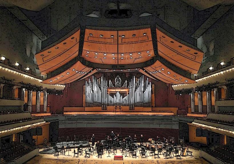
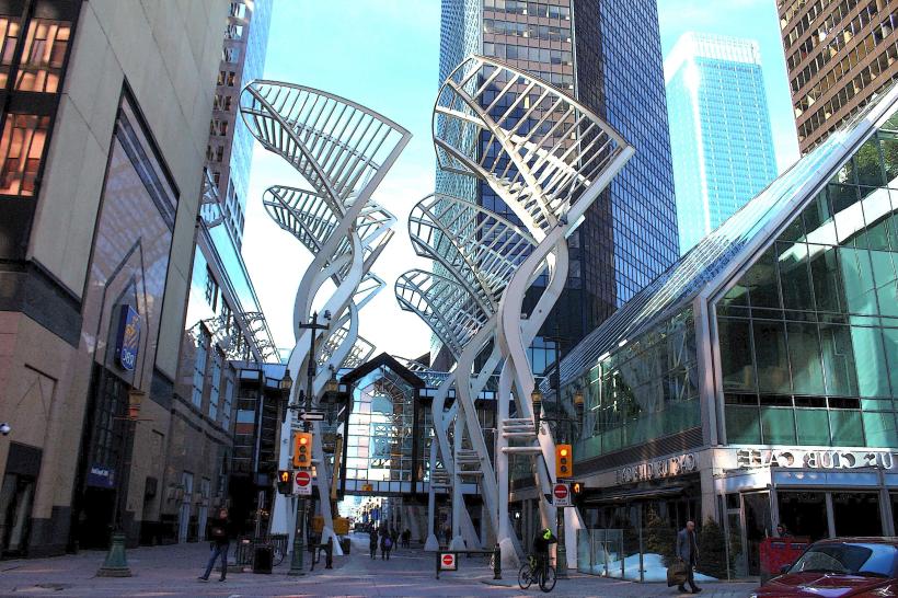
- Calgary Tower (1.5km South)
- Stephen Avenue Walk (1.2km South)
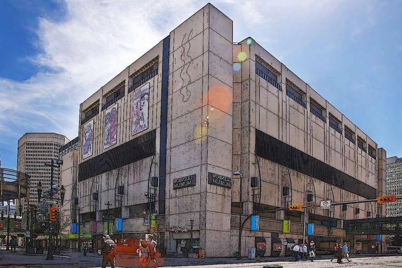
- Studio Bell, home of the National Music Centre (0.8km East)
- Fort Calgary (1.0km East)