Information
Landmark: Brahmaputra RiverCity: Mymensingh
Country: Bangladesh
Continent: Asia
Brahmaputra River, Mymensingh, Bangladesh, Asia
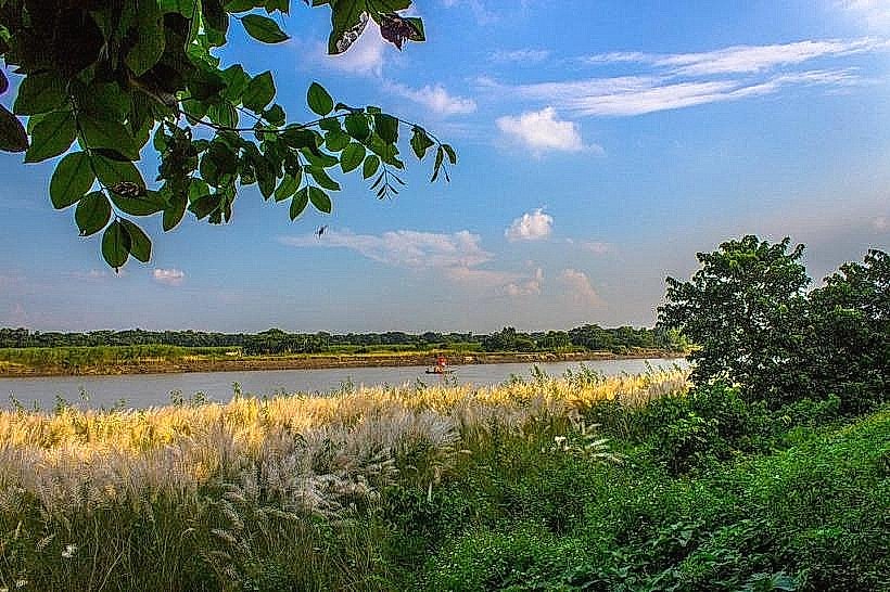
The Brahmaputra River is a major trans-boundary river flowing through China, India, and Bangladesh. In the Mymensingh region of Bangladesh, it forms a significant geographical feature.
Visual Characteristics
The river's width varies seasonally, typically ranging from 1 kilometer to over 10 kilometers during the monsoon. Water color is generally brown to muddy brown due to suspended sediment. The riverbanks are composed of alluvial soil and sand, with vegetation density increasing away from the immediate water's edge.
Location & Access Logistics
The Brahmaputra River flows through the Mymensingh district. Access points are numerous along its course. From Mymensingh city center, travel time to accessible riverbanks can range from 15 minutes to 1 hour depending on the chosen location. Road access is via local paved and unpaved roads. Parking is generally available on unpaved areas near the riverbanks, though it is informal. Public transport options include local buses and auto-rickshaws to reach specific points along the river.
Historical & Ecological Origin
The Brahmaputra River is a natural river system, not a man-made structure. Its origin is in the Angsi Glacier in southwestern Tibet, China. It is classified as a braided river, characterized by multiple channels separated by sandbars.
Key Highlights & Activities
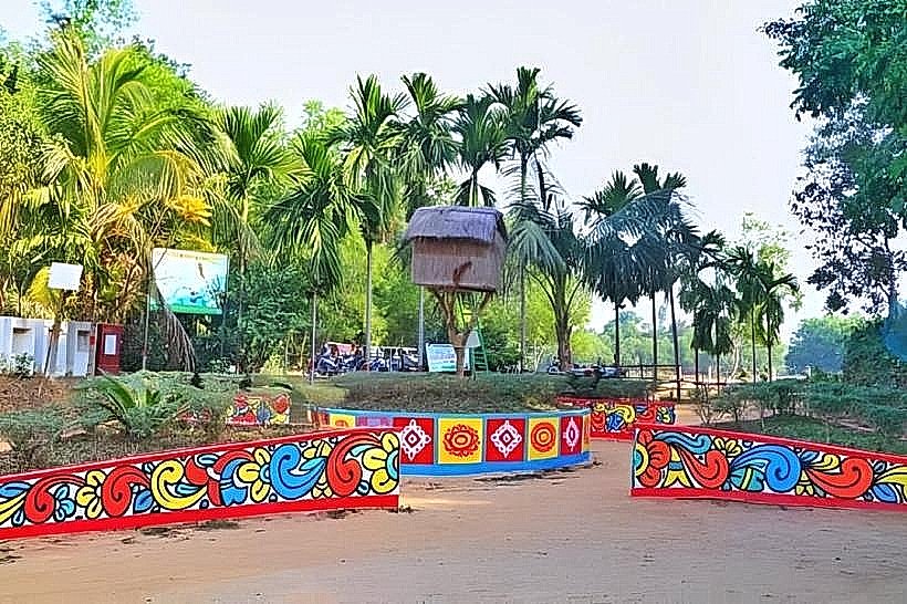
Boat trips are available from various points along the river, offering views of the riverine landscape. Fishing is a common activity for local residents. Observing local riverine life and agricultural practices on the floodplains is possible.
Infrastructure & Amenities
Basic amenities are limited directly on the riverbanks. Small local tea stalls and food vendors may be present in villages adjacent to the river. Restrooms are generally not available at informal access points. Cell phone signal (4G) is typically available in areas close to populated centers along the river.
Best Time to Visit
The dry season, from November to March, offers more stable river conditions and clearer views. The best time of day for photography is generally early morning or late afternoon for softer light. High tide is not a specific requirement for general river viewing, but water levels are highest during the monsoon (June-October).
Facts & Legends
The river is known for its shifting course, a characteristic of braided rivers. Local folklore often attributes the river's power and unpredictability to ancient spirits.
Nearby Landmarks
- 0.8km West: Mymensingh Town Hall
- 1.5km North: Mymensingh Circuit House
- 3.0km Southeast: Shilpacharya Zainul Abedin Museum
- 4.5km Southwest: Mymensingh Agricultural University