Information
Landmark: Capilano Suspension BridgeCity: Vancouver
Country: Canada
Continent: North America
Capilano Suspension Bridge, Vancouver, Canada, North America
The Capilano Suspension Bridge is a pedestrian suspension bridge located in the North Vancouver district of British Columbia, Canada. It spans the Capilano River.
Visual Characteristics
The bridge is constructed from steel cables, wooden planks, and wire mesh railings. It measures 140 meters (460 feet) in length and is suspended 70 meters (230 feet) above the Capilano River. The surrounding forest consists primarily of mature coniferous trees, including Douglas fir and Western red cedar.
Location & Access Logistics
The bridge is situated 11 kilometers (6.8 miles) north of downtown Vancouver. Access is via Capilano Road. Paid parking is available on-site. Public transport options include TransLink bus route 246 Highland/Vancouver, which stops near the entrance. A complimentary shuttle service operates from select downtown Vancouver hotels.
Historical & Ecological Origin
The original bridge was constructed in 1889 by George Grant Mackay, a Scottish engineer and businessman. His intention was to provide access to his property on the north side of the canyon. The current bridge was rebuilt in 1956. The canyon itself is a result of glacial erosion and subsequent river carving over millennia.
Key Highlights & Activities
Crossing the main suspension bridge is the primary activity. The site also features the Treetops Adventure, a series of smaller suspension bridges connecting to platforms in the surrounding old-growth forest. The Cliffwalk is a cantilevered walkway that juts out from the granite cliff face.
Infrastructure & Amenities
Restrooms are available at the main facility. Shaded areas are present within the forest and under the main bridge structure. Cell phone signal (4G/5G) is generally available. Food and beverage services are located at the main visitor center.
Best Time to Visit
For optimal lighting for photography, early morning or late afternoon is recommended. The best months for weather are typically from May to September, with drier conditions. High tide is not a relevant factor for visiting the bridge.
Facts & Legends
A local legend suggests that the canyon was once home to a mythical creature known as the Sasquatch. A verified historical detail is that the bridge was originally built using hemp ropes and a deck of wooden planks.
Nearby Landmarks
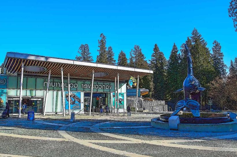
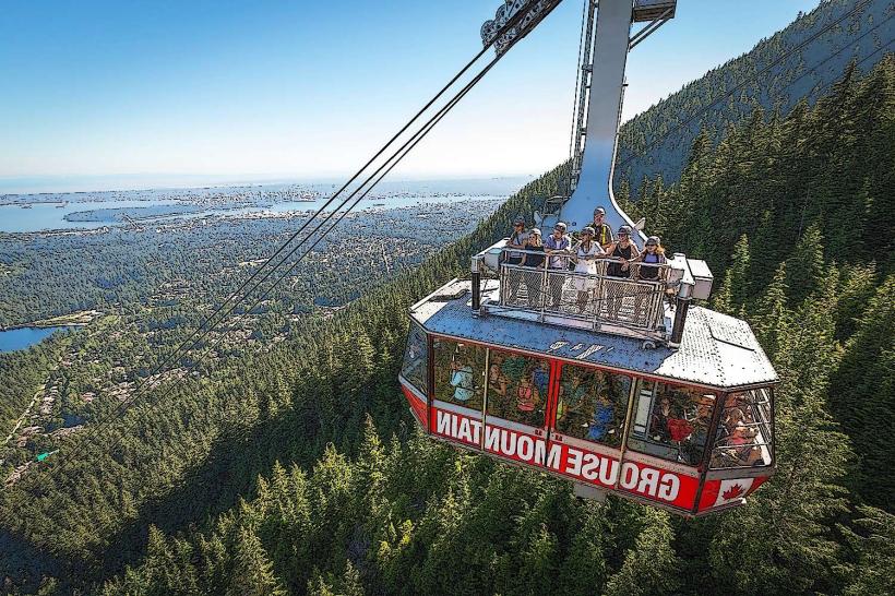
- Grouse Mountain (2.5km North)
- Lynn Canyon Park (4.0km Northwest)
- Cleveland Dam (1.5km North)
- Lighthouse Park (7.0km West - outside 5km radius, but significant)