Information
Landmark: Cedar LakeCity: Carbondale
Country: USA Illinois
Continent: North America
Cedar Lake, Carbondale, USA Illinois, North America
Cedar Lake is a reservoir located in Carbondale, Illinois, USA. It serves as a primary water source for the city and surrounding areas.
Visual Characteristics
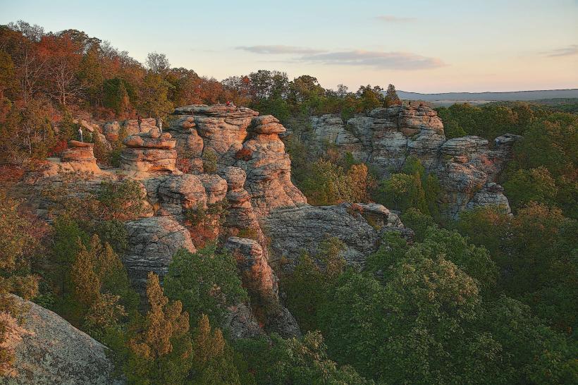
The lake's surface area is approximately 1,750 acres. The shoreline is characterized by mixed deciduous forest, with varying degrees of vegetation density. Water clarity can fluctuate based on recent rainfall and algal bloom activity.
Location & Access Logistics
Cedar Lake is situated approximately 8 miles south of downtown Carbondale. Access is primarily via Illinois Route 127 South, turning onto Cedar Lake Road. Ample parking is available at designated access points, including the main boat ramp and several smaller day-use areas. Public transport does not directly service the lake; private vehicle is the recommended mode of access.
Historical & Ecological Origin
The construction of the Cedar Lake Dam was completed in 1975. The reservoir was created to provide a reliable water supply for Carbondale and Jackson County. Ecologically, the area is part of the Shawnee National Forest, characterized by a temperate deciduous forest ecosystem.
Key Highlights & Activities
Boating is permitted on the lake, with specific regulations regarding horsepower limits. Fishing is a common activity, with species including largemouth bass, crappie, and bluegill. Designated swimming areas are available during warmer months. Hiking trails surround portions of the lake, offering access to the adjacent forest.
Infrastructure & Amenities
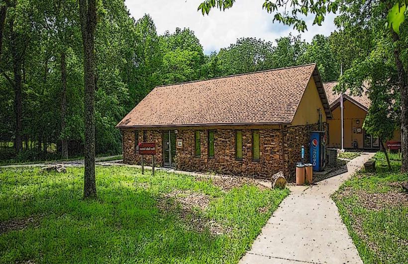
Restrooms are available at the main boat ramp and several day-use areas. Limited shade is provided by natural tree cover. Cell phone signal (4G/5G) is inconsistent and generally weak within the lake area. No food vendors are located directly at the lake; provisions should be brought from Carbondale.
Best Time to Visit
For photography, early morning and late afternoon offer optimal lighting conditions due to the angle of the sun. The months of April through October generally provide the most favorable weather for outdoor activities. Water levels are typically highest in spring and can recede during dry summer periods.
Facts & Legends
A local anecdote suggests that during periods of exceptionally low water, remnants of an older, submerged structure can be observed near the dam's spillway, though its origin is unconfirmed.
Nearby Landmarks
- Giant City State Park (5.2km Northeast)
- Southern Illinois University Carbondale (8.1km North)
- Shawnee National Forest Visitor Center (12.5km Southeast)
- Ferne Clyffe State Park (15.8km Southeast)