Information
Landmark: Shawnee National ForestCity: Carbondale
Country: USA Illinois
Continent: North America
Shawnee National Forest, Carbondale, USA Illinois, North America
Shawnee National Forest is a protected area located in southern Illinois, USA. It encompasses over 280,000 acres of diverse terrain.
Visual Characteristics
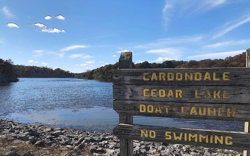
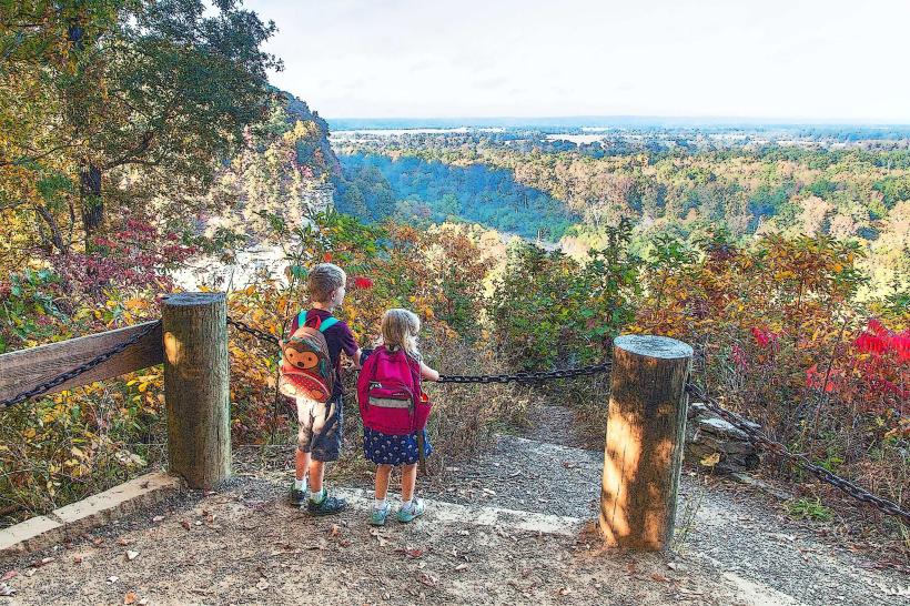
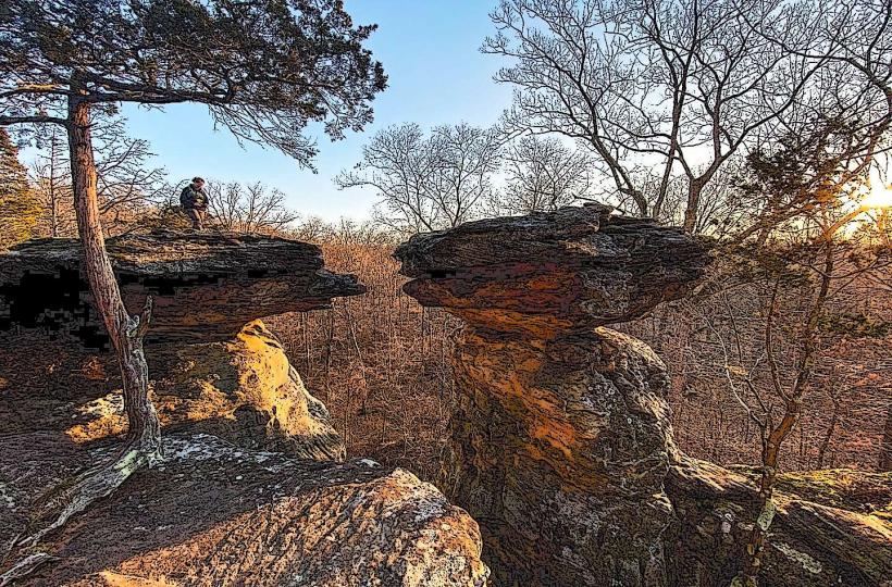
The forest features rolling hills, deep ravines, and sandstone bluffs. Tree cover is dense, primarily composed of oak, hickory, and pine species. Rock formations include Garden of the Gods, characterized by unique sandstone pillars and formations. Water bodies within the forest range from clear streams to larger lakes like Pounds Hollow Lake.
Location & Access Logistics
Shawnee National Forest is situated in the southern tip of Illinois. Access points are numerous, with major roads including State Route 145, State Route 146, and State Route 37. Carbondale, Illinois, serves as a primary gateway city, approximately 15 miles north of the forest's western edge. Numerous gravel and paved forest service roads provide internal access. Parking is available at designated trailheads, campgrounds, and picnic areas. Public transport directly into the forest is limited; visitors typically require private vehicles.
Historical & Ecological Origin
The forest was established in 1939 through the consolidation of several smaller national forests and lands acquired by the federal government. Its ecological origin is rooted in the ancient geological processes of the Ozark Plateau, with sandstone formations dating back millions of years. The area supports a diverse range of flora and fauna, including remnants of the original deciduous forest ecosystem.
Key Highlights & Activities
Hiking is a primary activity, with trails such as the River to River Trail and the Garden of the Gods Wilderness Trail. Rock climbing and bouldering are permitted in designated areas. Fishing and boating are available on forest lakes. Wildlife observation and photography are also common pursuits. Camping is available at developed campgrounds and in dispersed areas following specific regulations.
Infrastructure & Amenities
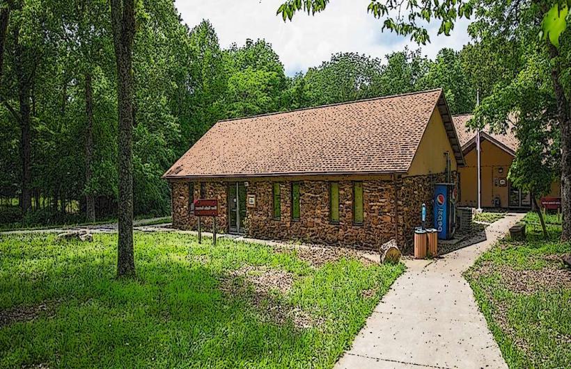
Restrooms are available at developed campgrounds and some picnic areas. Shade is abundant throughout the forest due to dense tree cover. Cell phone signal is intermittent and generally unreliable in most areas of the forest. Limited food vendors may be found in gateway towns surrounding the forest, but are not present within the forest itself.
Best Time to Visit
For hiking and general exploration, spring (April-May) and autumn (September-October) offer moderate temperatures and fall foliage. Summer (June-August) can be hot and humid. Winter (December-February) is suitable for solitude and observing the forest's structure. No specific tide requirements apply.
Facts & Legends
The Garden of the Gods area is known for its distinctive rock formations, some of which have been named by locals, such as "Camel Rock" and "Fat Man's Squeeze." A local legend speaks of the "Shawnee Spirit" that protects the forest, though this is unsubstantiated.
Nearby Landmarks
- Ferne Clyffe State Park (3km West)
- Giant City State Park (10km North)
- Little Grand Canyon Trail (8km Southwest)
- Pomona Natural Bridge (12km Southeast)
- Lake Murphysboro (15km Northwest)