Information
Landmark: Charles River ReservationCity: Cambridge MA
Country: USA Massachusetts
Continent: North America
Charles River Reservation, Cambridge MA, USA Massachusetts, North America
Charles River Reservation – In Detail
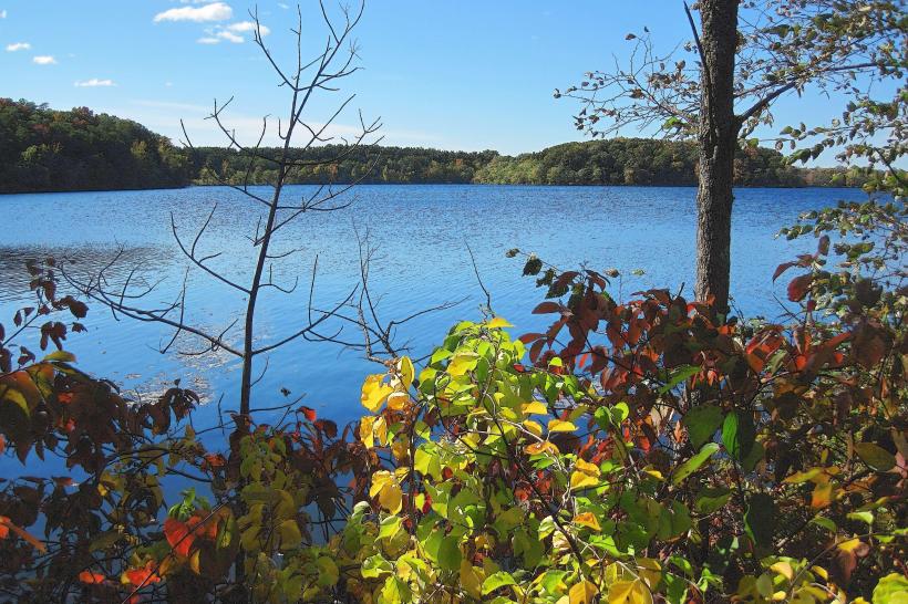
The Charles River Reservation is a scenic, multi-use urban parkland that stretches along the banks of the Charles River through 19 cities and towns in eastern Massachusetts, including Cambridge and Boston. Spanning over 950 acres, it offers one of the most extensive and diverse riverfront green spaces in the United States, combining natural beauty, recreation, conservation, and cultural heritage.
Geographic Scope and Layout
River Corridor:
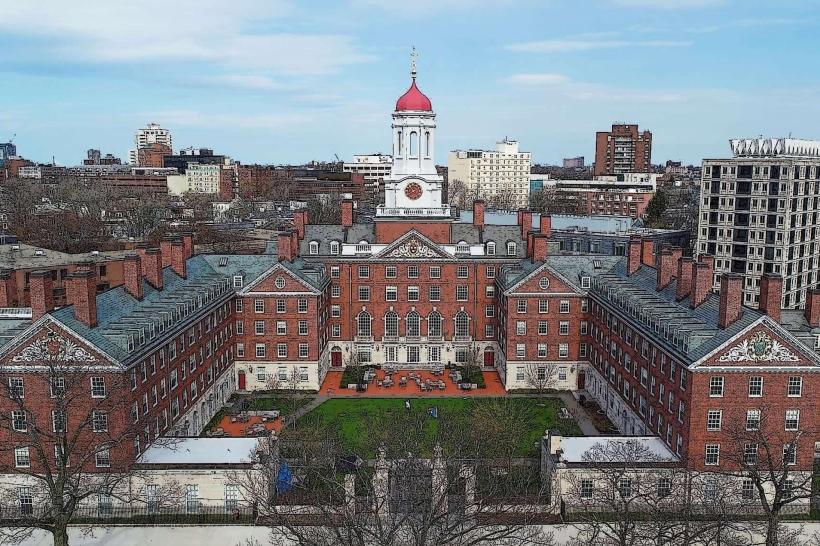
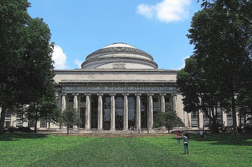
The reservation follows the 80-mile course of the Charles River, particularly focusing on the 20-mile stretch from Watertown to Boston Harbor, where it forms a green ribbon through dense urban neighborhoods and academic hubs like Harvard and MIT.
Managed Sections:
Managed by the Massachusetts Department of Conservation and Recreation (DCR), the reservation is divided into several segments including:
Upper Basin: From Watertown to the BU Bridge
Lower Basin: From the BU Bridge to the Museum of Science
Charles River Esplanade: One of the most iconic parts, on the Boston side
Natural and Environmental Features
Landscaping and Restoration:
Originally developed in the late 19th and early 20th centuries by landscape architects like Charles Eliot (a protégé of Frederick Law Olmsted), the reservation transformed polluted, industrial riversides into public parklands. Restoration projects continue today to maintain water quality, stabilize shorelines, and protect wildlife.
Wildlife Habitat:
The reservation supports a range of plant and animal life. Bird species such as cormorants, herons, swans, and ducks are commonly seen, and the river is increasingly home to fish like alewife and bass due to cleaner water and restored ecosystems.
Recreational Opportunities
Multi-Use Trails:
The Charles River Bike Path (also called the Dr. Paul Dudley White Bike Path) runs for over 23 miles, connecting parks, bridges, campuses, and neighborhoods on both the Cambridge and Boston sides of the river. It's heavily used for:
Walking
Jogging
Bicycling
Rollerblading
Boating and Water Activities:
The Charles River is a prominent center for rowing, sailing, kayaking, and canoeing. Key boating areas and boathouses include:
Community Boating, Inc. (Boston side)
Harvard and MIT Boathouses (Cambridge side)
Head of the Charles Regatta – One of the world’s largest rowing events held annually in October
Parks and Playgrounds:
Numerous parks and open spaces line the reservation, offering sports fields, picnic areas, dog parks, playgrounds, and open lawns. These include:
Magazine Beach Park (Cambridge)
Herter Park (Allston-Brighton)
North Point Park (near the Zakim Bridge)
Seasonal Events and Cultural Activities:
The reservation is used for concerts, festivals, public yoga sessions, and Independence Day celebrations, especially near the Hatch Memorial Shell on the Esplanade.
Cultural and Educational Proximity
University Presence:
The riverbanks are bordered by prestigious institutions like Harvard University, MIT, and Boston University, whose students and faculty use the riverfront for both recreation and environmental study.
Public Art and Monuments:
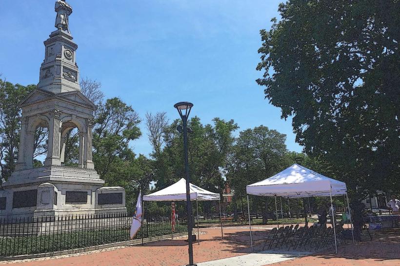
Along the path are sculptures, historical markers, and memorials that reflect Boston and Cambridge’s cultural narratives.
Transportation and Accessibility
Public Transit:
The reservation is accessible from multiple MBTA Red Line, Green Line, and commuter rail stations.
Kendall/MIT, Harvard, and Central Squares on the Cambridge side
Charles/MGH and BU Central on the Boston side
Pedestrian Bridges and Underpasses:
Numerous pedestrian crossings and underpasses improve access between neighborhoods and reduce interaction with busy roadways.
Environmental Stewardship
Ongoing Conservation:
Programs like invasive plant removal, shoreline restoration, and riverbank cleanups are key to the ongoing protection of this urban ecosystem.
Stormwater Management:
Green infrastructure projects are integrated into the landscape to manage runoff and improve river health.
Summary
The Charles River Reservation is a vibrant urban greenway that enhances quality of life in Greater Boston through recreation, nature, and civic engagement. With its riverside trails, boating culture, historic landscape design, and cultural events, it serves as a model for integrating nature and urban life. Whether you're a jogger, birdwatcher, kayaker, or simply someone seeking a peaceful view, the reservation offers a uniquely accessible and enriching outdoor experience in the heart of a major metropolitan area.