Information
Landmark: Cheshire Rail TrailCity: Keene
Country: USA New Hampshire
Continent: North America
Cheshire Rail Trail, Keene, USA New Hampshire, North America
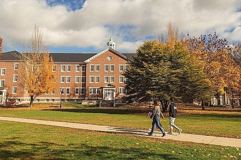
The Cheshire Rail Trail is a multi-use recreational path located in Keene, New Hampshire. It follows a former railroad corridor, providing a linear route for outdoor activities.
Visual Characteristics
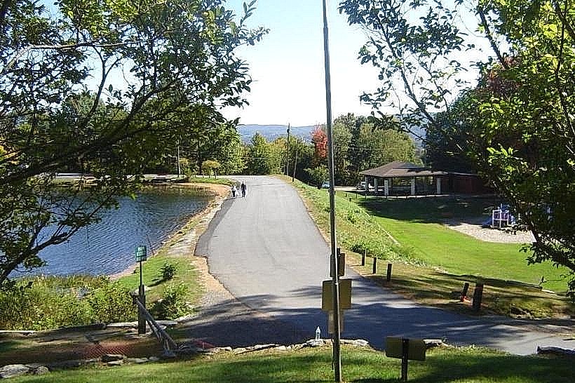
The trail is primarily a packed gravel surface, approximately 10-12 feet wide. It is bordered by mixed deciduous and coniferous forest. The terrain is generally flat with gentle undulations. Occasional clearings offer views of agricultural fields and residential areas.
Location & Access Logistics
The main access point in Keene is at the intersection of Winchester Street and Railroad Avenue. This location is approximately 1.5 miles south of the Keene city center. Parking is available at the Winchester Street trailhead, with capacity for approximately 30 vehicles. Public transport options to Keene include Greyhound bus service. From the Keene bus station, the trailhead is a 2-mile walk or a short taxi ride. No direct bus routes serve the trailhead itself.
Historical & Ecological Origin
The Cheshire Rail Trail was established on the former right-of-way of the Boston and Maine Railroad's Cheshire Branch. The railroad line operated from the mid-19th century until the 1960s. The conversion to a recreational trail began in the late 20th century, with sections opening progressively. Ecologically, the corridor traverses a temperate deciduous forest ecosystem.
Key Highlights & Activities
Activities include walking, jogging, cycling, and horseback riding. Cross-country skiing is possible during winter months. The trail is suitable for inline skating and skateboarding on its packed gravel surface. Birdwatching is a common activity due to the surrounding forest habitat.
Infrastructure & Amenities
Restrooms are available at the Winchester Street trailhead. Shade is provided by the surrounding trees along most of the trail. Cell phone signal (4G/5G) is generally available, though it may be intermittent in denser forest sections. No food vendors are located directly on the trail; however, businesses are accessible within a 1-mile radius of the Keene trailheads.
Best Time to Visit
For photography, early morning or late afternoon light provides optimal illumination of the forest canopy. The months of May through October offer the most favorable weather conditions for trail use. There are no tidal considerations for this inland trail.
Facts & Legends
A unique aspect of the trail's history is its role in transporting granite from quarries in Fitzwilliam to markets. Local lore sometimes mentions sightings of deer and other wildlife, with the trail serving as a corridor for their movement through the developed landscape.
Nearby Landmarks
- Colony Mill Marketplace (1.2km Northwest)
- Keene Public Library (1.8km Northwest)
- Horatio Colony Nature Preserve (3.5km Southwest)
- Ashuelot River Park (2.0km North)