Information
Landmark: Surry Mountain LakeCity: Keene
Country: USA New Hampshire
Continent: North America
Surry Mountain Lake, Keene, USA New Hampshire, North America
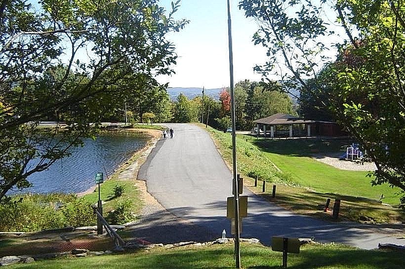
Surry Mountain Lake is a reservoir located in Surry, New Hampshire, approximately 10 kilometers west of Keene.
It is a man-made lake formed by the Surry Mountain Dam.
Visual Characteristics
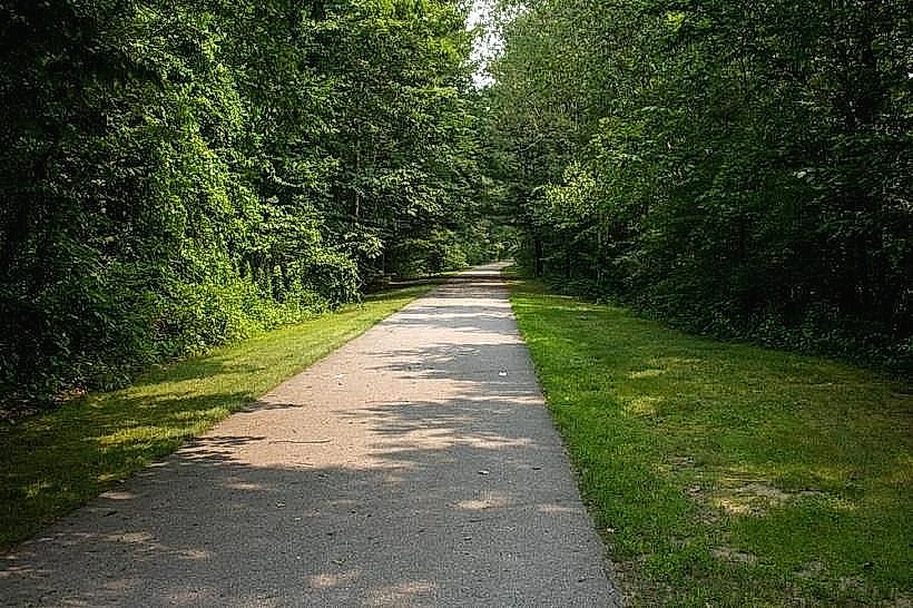
The lake surface is approximately 250 acres. The shoreline is characterized by mixed deciduous and coniferous forest. Water color varies from deep blue to green depending on depth and light conditions. The dam structure is composed of earth and rockfill.
Location & Access Logistics
Access to Surry Mountain Lake is via Route 12A North from Keene. Turn right onto Surry Mountain Road. The lake is approximately 10 kilometers from the intersection with Route 12A. Parking is available at designated lots near the dam and boat launch areas. No public transport directly serves the lake.
Historical & Ecological Origin
Surry Mountain Lake was created by the construction of the Surry Mountain Dam, completed in 1951 by the U.S. Army Corps of Engineers. Its primary purpose was flood control for the Ashuelot River watershed.
Key Highlights & Activities
Boating is permitted on the lake. Fishing is a common activity. Hiking trails are present around the perimeter of the lake. Swimming is allowed in designated areas during the summer season.
Infrastructure & Amenities
Restrooms are available at the main access points. Some shaded areas are present near picnic sites. Cell phone signal (4G) is generally available, though it may be intermittent in more remote sections. No on-site food vendors are present; visitors should bring their own provisions.
Best Time to Visit
For photography, early morning or late afternoon provides optimal lighting. The months of June through September offer the warmest weather for water-based activities. No specific tide requirements apply.
Facts & Legends
The Surry Mountain Dam was constructed using over 1.5 million cubic yards of earth and rockfill. Local folklore sometimes refers to the lake as a "bottomless pit" due to its depth in certain areas, though this is geologically inaccurate.
Nearby Landmarks
- Monadnock State Park (15km Southeast)
- Keene Public Library (10km East)
- Ashuelot River Park (9km East)
- Chesterfield Gorge Natural Area (12km Northwest)