Information
Landmark: Cirque RougeCity: Mahajanga
Country: Madagascar
Continent: Africa
Cirque Rouge, Mahajanga, Madagascar, Africa
The Cirque Rouge is a natural amphitheater of deeply eroded sandstone and laterite formations. It is located approximately 10 kilometers southeast of Mahajanga, Madagascar.
Visual Characteristics
The site features a series of deeply eroded gullies and spires composed primarily of red laterite and white sandstone. The dominant colors are ochre, crimson, and pink, with some areas exhibiting white and yellow strata. The formations vary in height, creating a natural amphitheater effect with distinct geological layers visible.
Location & Access Logistics
Access is typically via a dirt track off the RN4, approximately 10 km southeast of Mahajanga city center. A 4x4 vehicle is recommended, especially during the rainy season. Parking is informal, usually at the base of the main viewing area. No direct public transport lines serve the site; private taxis or organized tours are the primary options for access.
Historical & Ecological Origin
The Cirque Rouge is a geological formation resulting from the erosion of sedimentary rock layers, primarily sandstone and laterite, over millions of years. The distinct coloration is due to varying mineral compositions, particularly iron oxides in the laterite. It is classified as an erosional amphitheater.
Key Highlights & Activities
The primary activity is viewing and photographing the unique geological formations, particularly at sunrise or sunset. Visitors can walk along designated paths within the amphitheater to observe the different rock strata and erosion patterns.
Infrastructure & Amenities
There are no formal restrooms or permanent shade structures at the site. Cell phone signal (4G) is generally intermittent but available in some areas. No food vendors are present; visitors should bring their own water and provisions.
Best Time to Visit
The best time to visit for photography is during sunrise or sunset, when the low-angle light enhances the red and ochre hues of the formations. The dry season, from May to October, offers the most accessible conditions, as the dirt tracks can become impassable during the rainy season (November to April). No tide requirements apply.
Facts & Legends
A local tip suggests observing the formations after a light rain, as the moisture can temporarily intensify the colors of the laterite and sandstone, making them appear more vibrant.
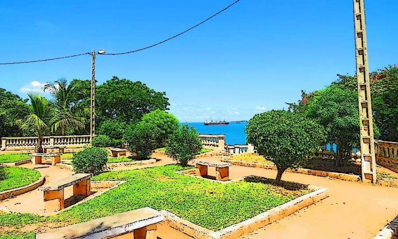
Nearby Landmarks
- Grand Pavois Beach: 8 km West
- Mahajanga Lighthouse: 12 km Northwest
- Antsanitia Beach: 25 km North
- Katsepy Lighthouse: 15 km West (across Bombetoka Bay)