Information
Landmark: Fort de MahajangaCity: Mahajanga
Country: Madagascar
Continent: Africa
Fort de Mahajanga, Mahajanga, Madagascar, Africa
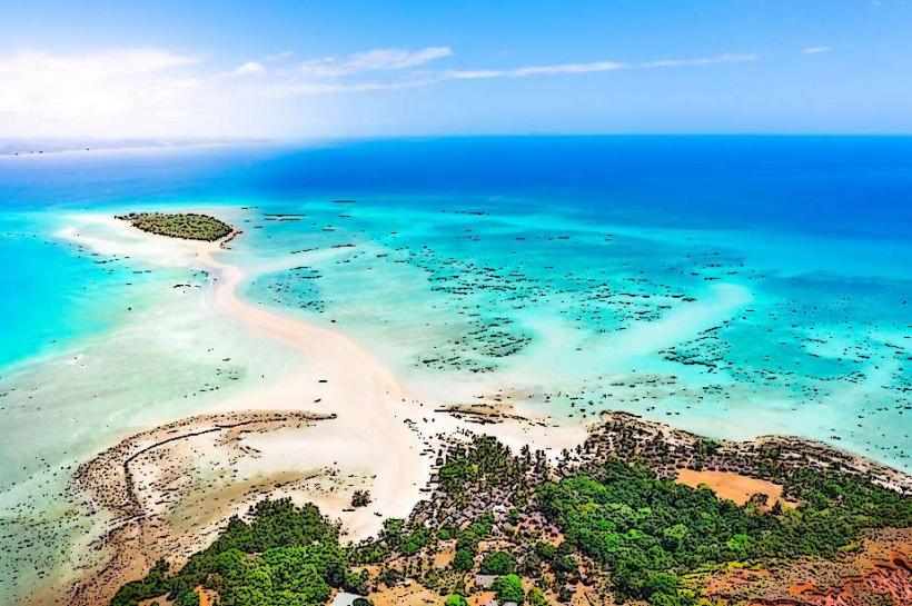
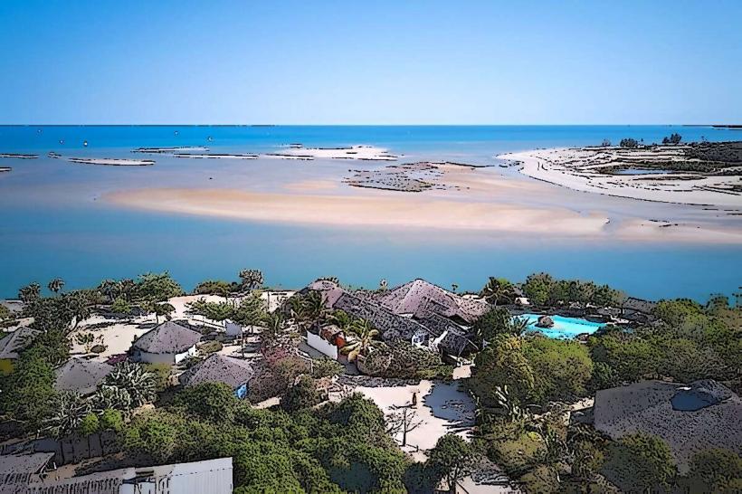
The Fort de Mahajanga is a historical military fortification situated on a promontory overlooking the Bombetoka Bay in the city of Mahajanga, Madagascar. It served as a strategic defensive structure controlling access to the port and Betsiboka River estuary.
Visual Characteristics
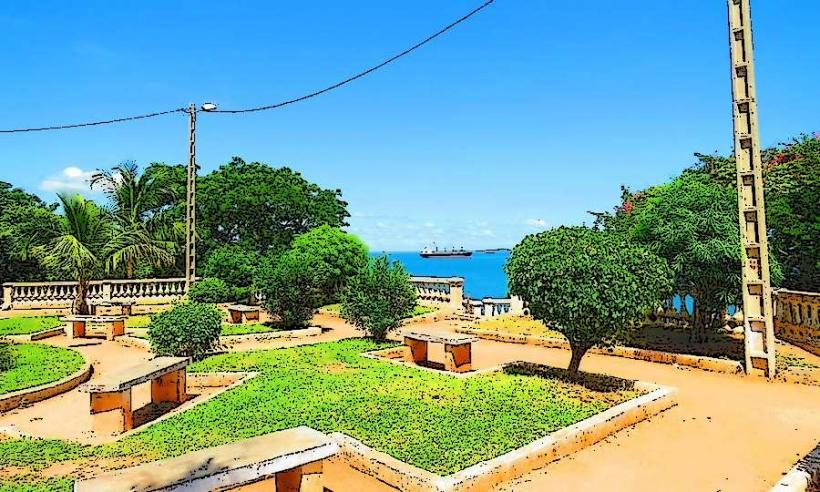
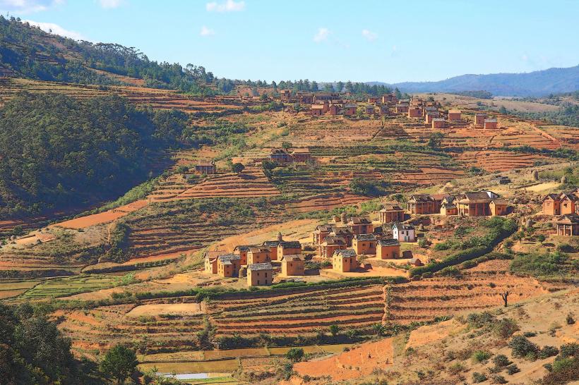
The fort consists primarily of stone and concrete remnants, indicative of late 19th-century military architecture. Its structures are largely in a state of ruin, with walls and foundations remaining. The site is characterized by its elevated position, offering panoramic views of the bay and surrounding coastline. The color palette is dominated by weathered grey stone and the reddish-brown earth typical of the region.
Location & Access Logistics
The Fort de Mahajanga is located approximately 3 kilometers northwest of Mahajanga's city center, at the tip of the peninsula. Access is via local roads, such as Rue de la Corniche, which follows the coastline. Parking is typically informal along the roadside near the site. Public transport options include local taxis or tuk-tuks (pousse-pousse) from the city center, with a travel time of approximately 10-15 minutes.
Historical & Ecological Origin
The Fort de Mahajanga was constructed by the French colonial forces around 1895-1896. Its original purpose was to defend the port of Mahajanga and control the strategic entrance to the Betsiboka River, particularly during the Franco-Hova Wars. The fort played a role in securing French colonial interests in Madagascar.
Key Highlights & Activities
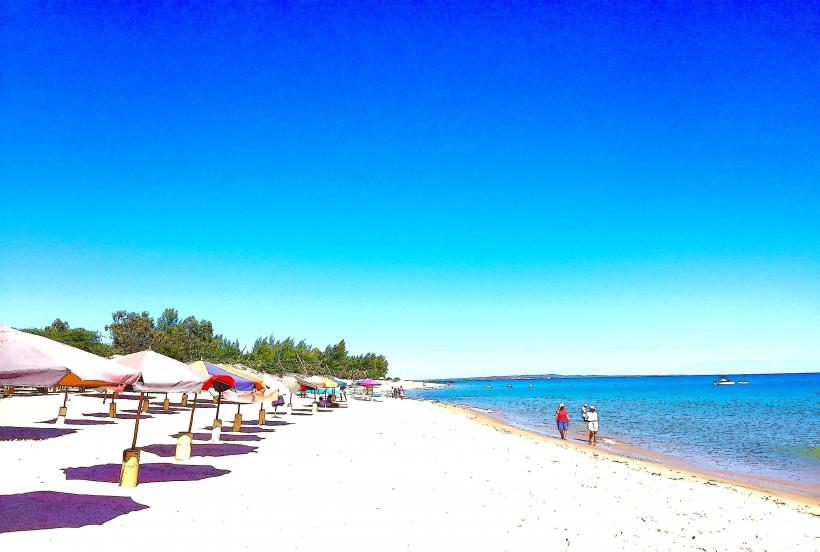
Visitors can explore the remaining structures of the fort, including walls and foundations. The primary activity is enjoying the expansive views of Bombetoka Bay, the Betsiboka River estuary, and the city of Mahajanga. Photography of the coastal landscape and sunset is a common pursuit. The site offers a vantage point for observing maritime traffic.
Infrastructure & Amenities
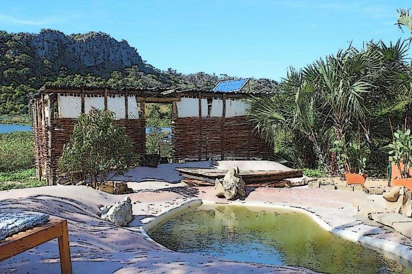
Infrastructure at the Fort de Mahajanga is minimal. There are no dedicated restrooms or formal visitor facilities directly on site. Shade is limited, primarily provided by sparse vegetation. Cell phone signal (4G/5G) is generally available due to its proximity to the city. Food vendors are not typically present at the immediate fort site, but local eateries are available within a 1-2 kilometer radius in Mahajanga.
Best Time to Visit
The best time to visit for photography is late afternoon, particularly during sunset, when the light illuminates the bay and coastline. The cooler, drier months from May to October offer the most comfortable weather conditions, avoiding the intense heat and humidity of the rainy season (November to April). No specific tide requirements affect access or viewing.
Facts & Legends
The fort is sometimes referred to locally as Fort Louis, reflecting its French colonial origins. A verified historical oddity is its strategic placement, which allowed it to monitor both sea and river traffic, making it a crucial point for controlling trade and military movements into the interior of Madagascar during its operational period.
Nearby Landmarks
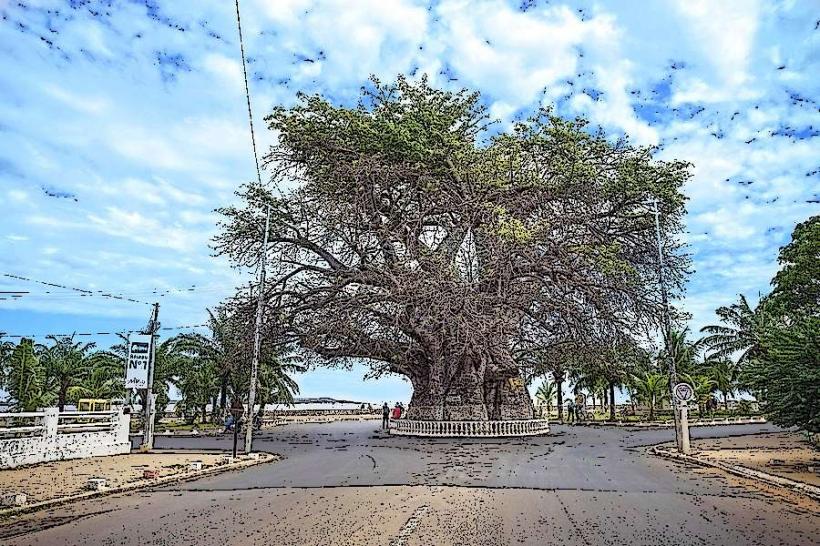
- Baobab de Majunga (Adansonia grandidieri): 1.5km South
- Mahajanga Port: 2km Southeast
- Mahajanga Lighthouse: 0.8km West
- Mahajanga City Center: 3km Southeast