Information
Landmark: Iharana Bush CampCity: Mahajanga
Country: Madagascar
Continent: Africa
Iharana Bush Camp, Mahajanga, Madagascar, Africa
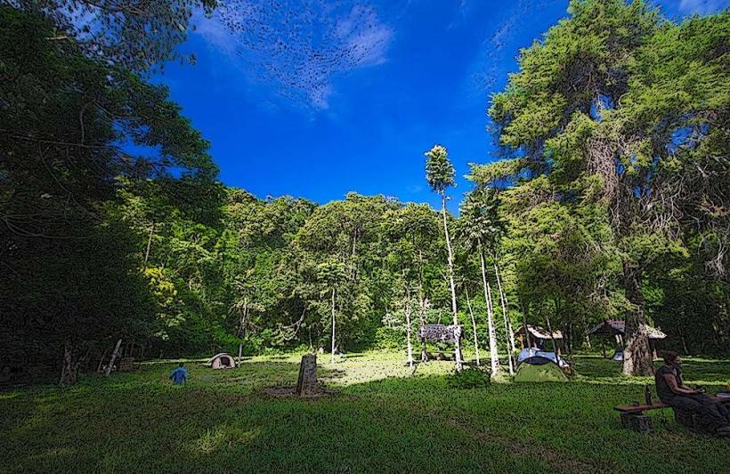
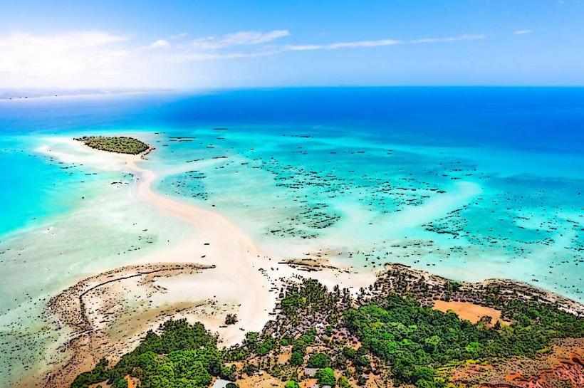
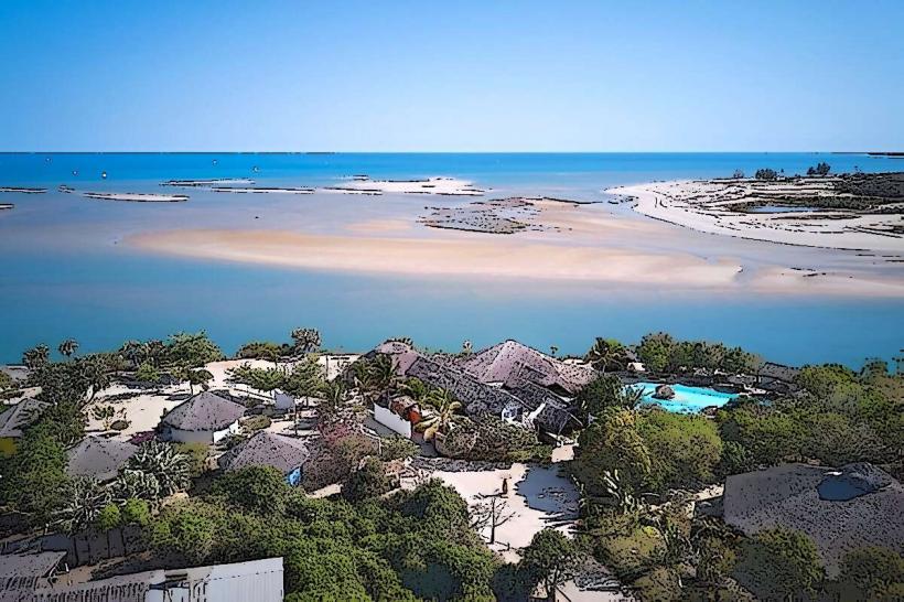
Iharana Bush Camp is an eco-lodge situated on the shores of Lake Iharana, approximately 100 kilometers north of Mahajanga, Madagascar. It is integrated into a landscape characterized by limestone karst formations known as tsingy.
Visual Characteristics
The camp comprises individual bungalows constructed from local materials such as wood, thatch, and stone, designed to blend with the surrounding environment. Each bungalow features a private terrace. The architecture is organic, mirroring the natural curves and textures of the adjacent tsingy formations. The lake itself is a freshwater body, often appearing calm, reflecting the limestone cliffs.
Location & Access Logistics
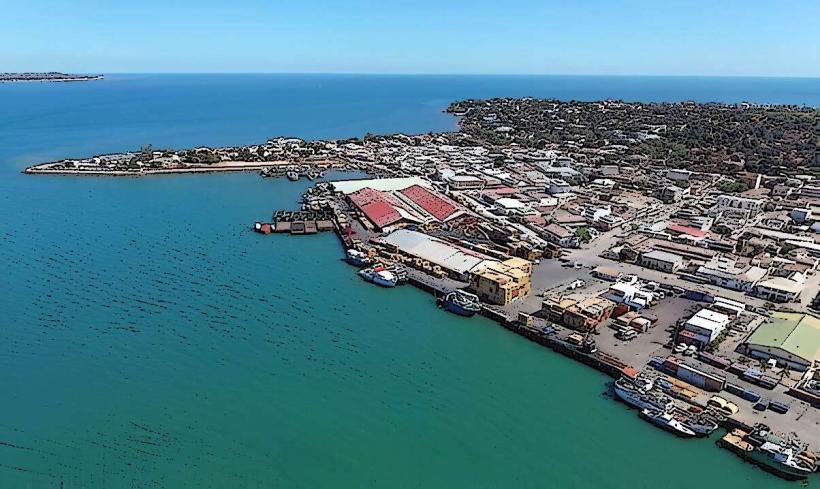
Iharana Bush Camp is located near the village of Antanamarina. Access is primarily by 4x4 vehicle from Mahajanga, a journey that typically takes 3-4 hours over unpaved roads, or from Ambanja, which is a longer drive. The camp provides on-site parking for guests arriving by private vehicle. Public transport options are limited to shared bush taxis (taxi-brousse) to nearby larger villages, requiring a pre-arranged transfer from there to the camp.
Historical & Ecological Origin
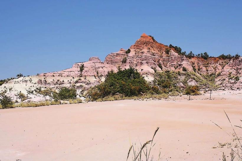
The camp was constructed in 2009 with the purpose of providing eco-tourism accommodation that respects and integrates with the unique geological formations of the region. The surrounding landscape is dominated by tsingy, a type of karst topography characterized by sharp, needle-like limestone pinnacles. These formations are the result of millions of years of erosion by rainwater on uplifted marine limestone, creating a complex network of canyons, caves, and plateaus.
Key Highlights & Activities
Activities include guided hikes through the tsingy formations, offering views of the unique geology and endemic flora and fauna. Kayaking and canoeing are available on Lake Iharana. Guided tours to explore nearby caves are also offered. Bird watching is a common activity due to the diverse avian species present in the area.
Infrastructure & Amenities
Each bungalow includes private restrooms with hot water. The camp provides natural shade from trees and built structures. Cell phone signal (4G/5G) is generally unreliable or non-existent within the camp area. There is an on-site restaurant serving meals, and a bar. Electricity is typically generated by solar power or generators, available during specific hours.
Best Time to Visit
The best time to visit is during the dry season, from May to October. This period offers more stable weather conditions, making road access easier and outdoor activities more comfortable. Photography is optimal during early morning or late afternoon hours when the sun casts long shadows, highlighting the textures of the tsingy formations.
Facts & Legends
The word tsingy in Malagasy means "where one cannot walk barefoot," referring to the sharp, jagged nature of the limestone pinnacles. Local folklore suggests that certain tsingy formations are sacred sites, believed to be inhabited by ancestral spirits, and specific areas are approached with reverence.
Nearby Landmarks
- Antanamarina Village: 1.5km South
- Tsingy de Namoroka National Park: Approximately 40km South-West
- Lake Iharana: Adjacent to the camp