Information
Landmark: Connecticut River Walk and BikewayCity: Springfield MA
Country: USA Massachusetts
Continent: North America
Connecticut River Walk and Bikeway, Springfield MA, USA Massachusetts, North America
Connecticut River Walk and Bikeway - Detailed Overview
Location and Extent
The Connecticut River Walk and Bikeway is a prominent multi-use trail system along the Connecticut River, primarily within Springfield, Massachusetts. This trail currently stretches about 3.7 miles along the riverfront, running from the Chicopee town line in the north down to the South End Bridge near downtown Springfield. It forms part of a broader vision to create a continuous 21-mile greenway connecting several neighboring communities along the river, including Agawam, West Springfield, and Holyoke.
Purpose and Usage
This paved trail is designed to serve multiple recreational and transportation functions. It caters to:
Walkers and Joggers: A safe, scenic route perfect for daily exercise or leisure strolls, with smooth surfaces and gentle grades.
Cyclists: The paved, relatively flat path offers cyclists of all skill levels an enjoyable ride with beautiful river views.
Rollerbladers and Wheelchair Users: The accessible surface and gentle slopes make it usable for rollerblading and compliant with ADA standards, allowing people with mobility devices to enjoy the trail.
Commuters: Besides recreational use, the bikeway functions as a non-motorized transportation corridor connecting residential neighborhoods with downtown Springfield and surrounding attractions.
Scenic and Environmental Features
Running adjacent to the Connecticut River, the trail provides:
Panoramic River Views: Users can enjoy expansive vistas of the flowing river, often with wildlife sightings such as birds and waterfowl.
Skyline and Bridge Sightlines: The trail offers striking views of Springfield’s skyline and architectural landmarks like the Memorial Bridge and nearby pedestrian bridges.
Natural Landscapes: Portions of the path wind through riparian habitats with trees, shrubs, and seasonal wildflowers, contributing to a peaceful natural setting within an urban environment.
Key Access Points and Connectivity
Main Entrances: The primary access points are near the Memorial Bridge in Springfield and near the Basketball Hall of Fame, allowing easy parking and transit connections.
Trailheads: Marked entrances feature signage, benches, and sometimes bike racks, facilitating user convenience.
Connections: The trail connects with city streets and neighborhood pathways, allowing users to enter or exit at multiple locations. It is integrated into the city’s broader green infrastructure plan to promote non-vehicular mobility.
Infrastructure and Amenities
Paved Surface: The entire trail is paved with asphalt, ensuring a smooth surface suitable for all users.
Benches and Rest Areas: Strategically placed seating allows for rest and enjoying the scenic views.
Lighting: Certain sections have lighting for safety during early morning or evening hours.
Signage: Informative signs guide users along the path, indicating distances, points of interest, and safety information.
Safety Features: Barriers and railings protect users at points near the riverbank and bridges.
Current Conditions and Maintenance
As of the latest updates, a segment of the walkway bridge over the CSX railroad tracks in West Springfield has been closed due to structural concerns. The city’s Department of Public Works is actively conducting inspections and repairs to restore safe access.
Regular maintenance includes resurfacing, litter removal, vegetation management, and infrastructure repairs to preserve the trail’s safety and aesthetics.
Community Impact and Future Plans
The Connecticut River Walk and Bikeway serves as an essential recreational asset for Springfield residents and visitors, providing a scenic, safe environment to promote physical activity, environmental appreciation, and alternative transportation.
Plans are underway to extend and connect the trail further along the Connecticut River, aiming to create a continuous 21-mile corridor that would link multiple municipalities. This extension will foster regional connectivity, support eco-tourism, and enhance access to natural and cultural attractions along the river.
Nearby Attractions and Integration
The trail runs close to several notable sites:
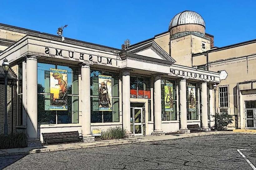
Naismith Memorial Basketball Hall of Fame: A world-renowned sports museum that attracts visitors year-round.
Memorial Bridge: An iconic suspension bridge spanning the Connecticut River, offering dramatic views.
Springfield Downtown and Riverfront District: Accessible from the trail, featuring restaurants, parks, and cultural venues.
Other Parks and Green Spaces: The trail connects with various smaller parks and greenways, integrating into the city’s outdoor recreational network.
Visitor Tips
The trail is open year-round but may be less accessible during winter months due to snow and ice.
Visitors are advised to bring water, wear appropriate footwear, and follow posted rules to ensure safety.
Dogs are generally allowed but must be leashed, and owners should clean up after their pets.
Cycling and pedestrian users should be mindful of shared space etiquette, keeping to the right and signaling when passing.
The Connecticut River Walk and Bikeway represents a vital green artery through Springfield, marrying urban living with natural beauty and promoting healthy, sustainable lifestyles in the region.