Information
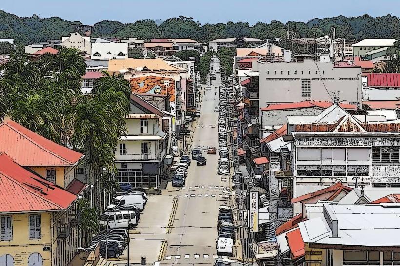
Landmark: Crique SaramacaCity: Cayenne
Country: French Guiana
Continent: South America
Crique Saramaca, Cayenne, French Guiana, South America
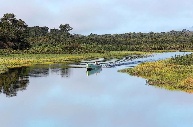
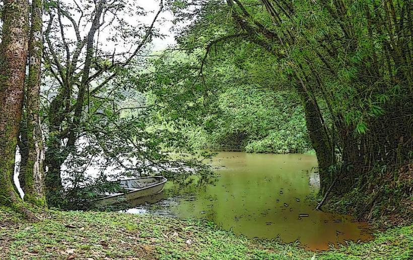
Crique Saramaca is a river located in the commune of Cayenne, French Guiana. It is a tributary of the Mahury River.
Visual Characteristics
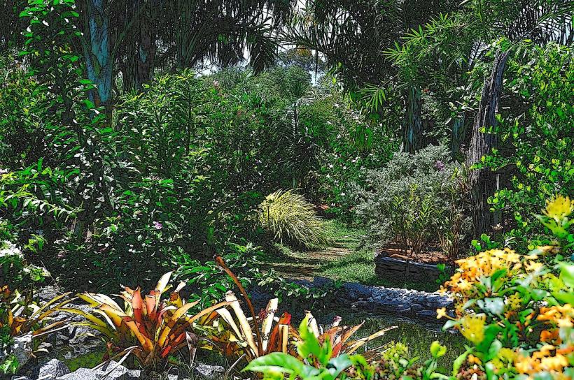
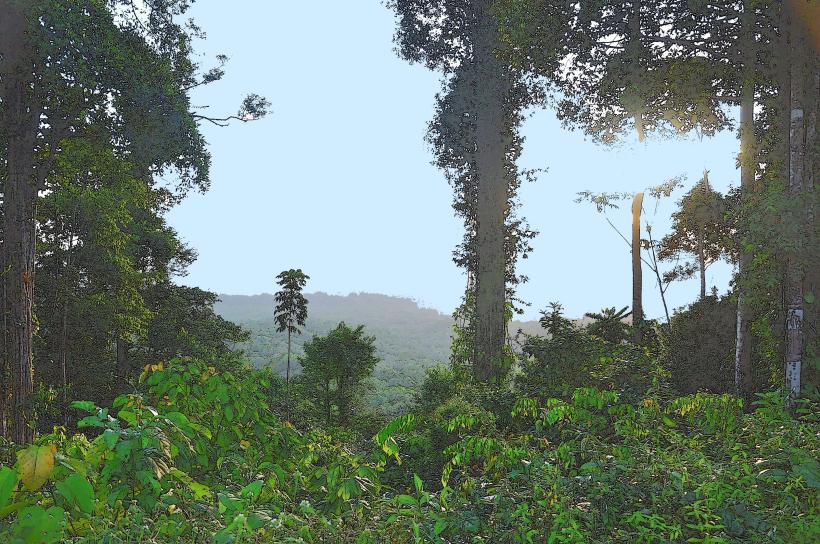
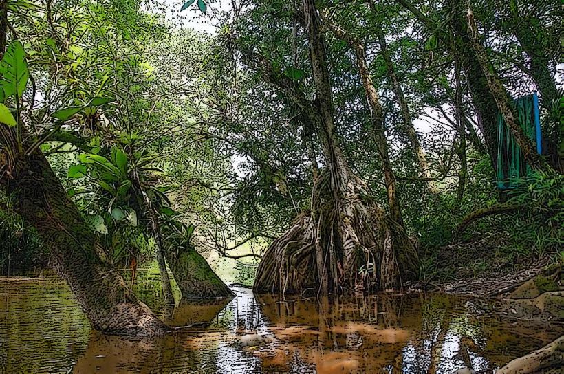
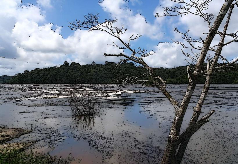
The riverbanks are characterized by dense tropical rainforest vegetation. The water color is typically brown due to sediment load from the surrounding soil. The width of the river varies, averaging approximately 20-30 meters in the accessible sections.
Location & Access Logistics
Crique Saramaca is situated approximately 15 kilometers southwest of the city center of Cayenne. Access is primarily via the Route de la Crique Saramaca, a paved road that branches off from the N1 national road. Parking is available at designated points along the road, often informal pull-offs. Public transport options are limited; bus line 4 (Cayenne-Matoury) stops near the junction with the N1, requiring an additional walk or taxi to reach the river access points.
Historical & Ecological Origin
Crique Saramaca is a natural waterway formed by the erosion of the Guiana Shield's lateritic soils. Its ecological origin is that of a blackwater river system, typical of the Amazon basin, characterized by high acidity and low nutrient content due to the decomposition of organic matter in the surrounding rainforest.
Key Highlights & Activities
Canoeing and kayaking are possible on the river, particularly during the wet season when water levels are higher. Birdwatching is a primary activity due to the diverse avian species inhabiting the riparian forest. Fishing is permitted for local residents, subject to regional regulations.
Infrastructure & Amenities
There are no formal infrastructure or amenities directly at Crique Saramaca. Restrooms, shade, and food vendors are not present. Cell phone signal (4G/5G) is intermittent and generally unreliable along the riverbanks.
Best Time to Visit
The best time for water-based activities is during the rainy season, from January to June, when the river is fuller. For birdwatching, early morning and late afternoon offer the most activity. There are no tidal influences affecting access.
Facts & Legends
Local folklore suggests that the river was once a route for indigenous tribes to transport goods between inland settlements and the coast. A specific historical oddity is the presence of remnants of old logging camps, now largely reclaimed by vegetation, indicating past economic activity in the area.
Nearby Landmarks
- Pointe de Montjoly (3.5km Northeast)
- Jardin Botanique de Cayenne (4.2km North)
- Fort Cépérou (5.0km North)
- Musée de lasetContentType (4.8km North)