Information
Landmark: Kaw MountainsCity: Cayenne
Country: French Guiana
Continent: South America
Kaw Mountains, Cayenne, French Guiana, South America
The Kaw Mountains are a geological formation located in the commune of Roura, approximately 60 kilometers southeast of Cayenne, French Guiana.
Visual Characteristics
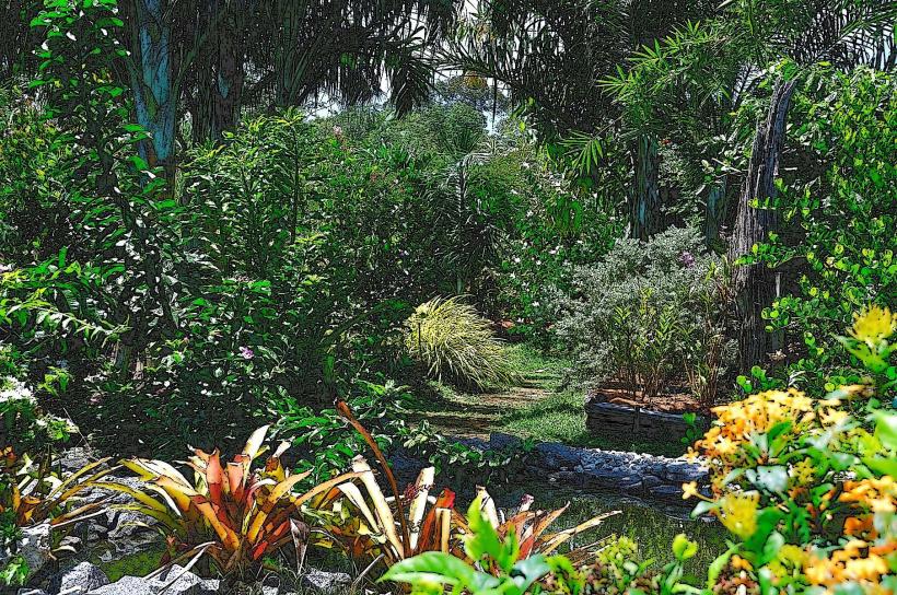
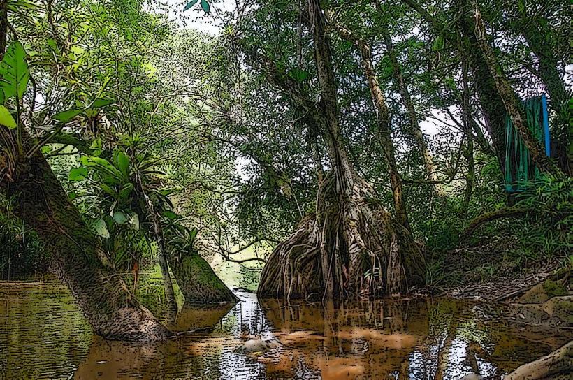
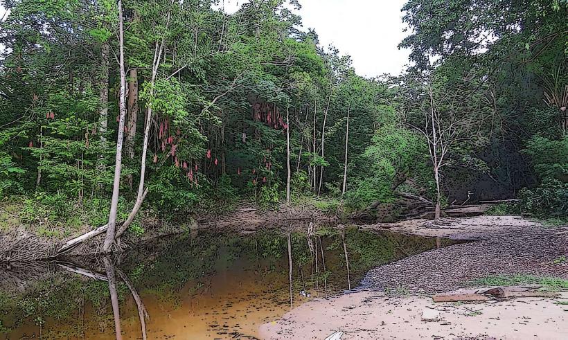
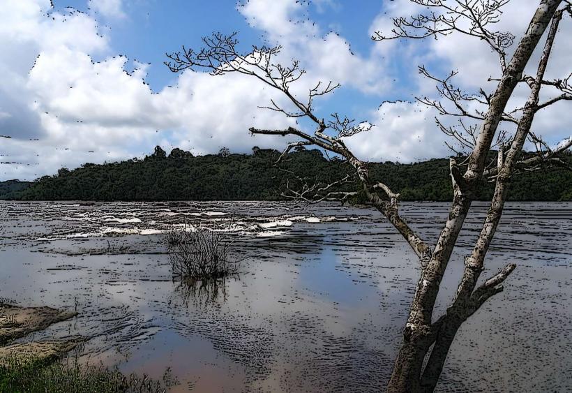
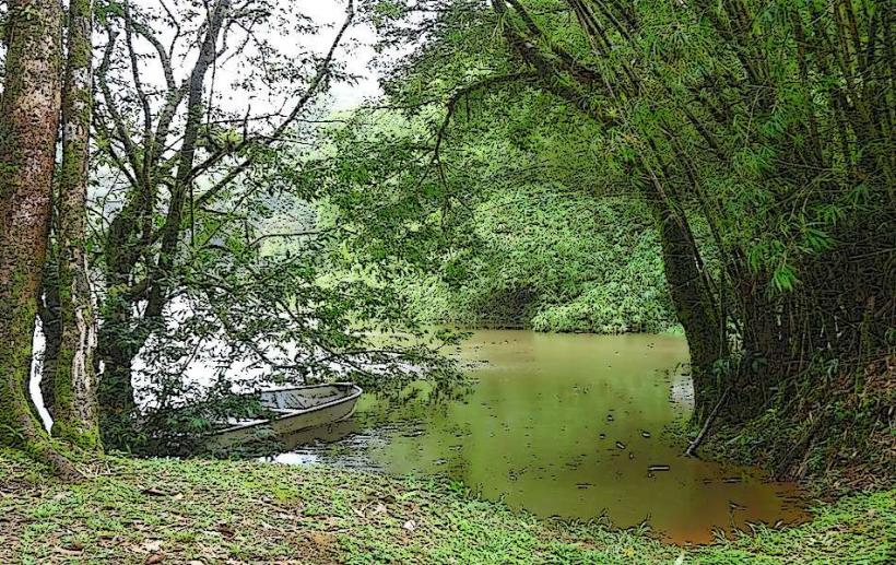
The mountains are characterized by low, rounded hills covered in dense tropical rainforest. Elevations typically range from 100 to 300 meters. The dominant vegetation consists of a closed canopy of hardwood trees, interspersed with palms and epiphytes. Drainage patterns create numerous small streams and marshy areas at the base of the hills.
Location & Access Logistics
Access is primarily via the Route Nationale 2 (RN2) from Cayenne. The turn-off for the Kaw Mountains area is marked and leads onto smaller, unpaved roads. Travel time from Cayenne is approximately 1 hour and 30 minutes. Parking is available at designated pull-offs along the main access routes. Public transport is limited; a private vehicle is recommended.
Historical & Ecological Origin
The Kaw Mountains are composed of Precambrian crystalline rocks, primarily granite and gneiss, formed during ancient geological periods. They represent an ancient peneplain that has resisted erosion. Ecologically, the area is part of the Guianan moist forests ecoregion, supporting high biodiversity.
Key Highlights & Activities
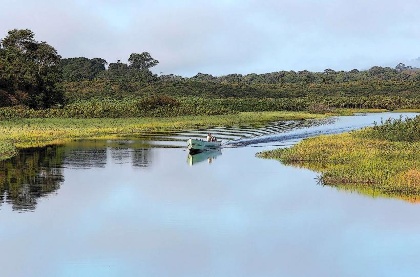
Hiking is possible on marked trails, such as the Sentier des Cascades. Birdwatching is a primary activity, with opportunities to observe species like the Cayenne Kite and the Guianan Cock-of-the-rock. Boat tours on the nearby Kaw Marsh offer wildlife viewing, including caimans and various bird species. Photography of the rainforest canopy and geological formations is also undertaken.
Infrastructure & Amenities
Restrooms are available at the small visitor information point near the RN2 turn-off. Shade is provided by the dense forest canopy. Cell phone signal (4G/5G) is intermittent and generally unavailable within the deeper forest areas. Food vendors are not present within the immediate mountain area; provisions should be carried from Cayenne or nearby villages.
Best Time to Visit
The best time for visiting is during the dry season, from July to November, to minimize rainfall and improve trail conditions. For photography, early morning (06:00-09:00) and late afternoon (16:00-18:00) offer optimal lighting conditions due to the angle of the sun and reduced haze. High tide is not a relevant factor for mountain access.
Facts & Legends
Local folklore speaks of spirits inhabiting the higher peaks, influencing weather patterns. A specific geological feature, known as the "Table Rock," is a flat-topped boulder formation that local guides point out on certain trails.
Nearby Landmarks
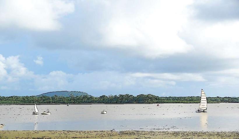
- Kaw Marsh (0.5km West)
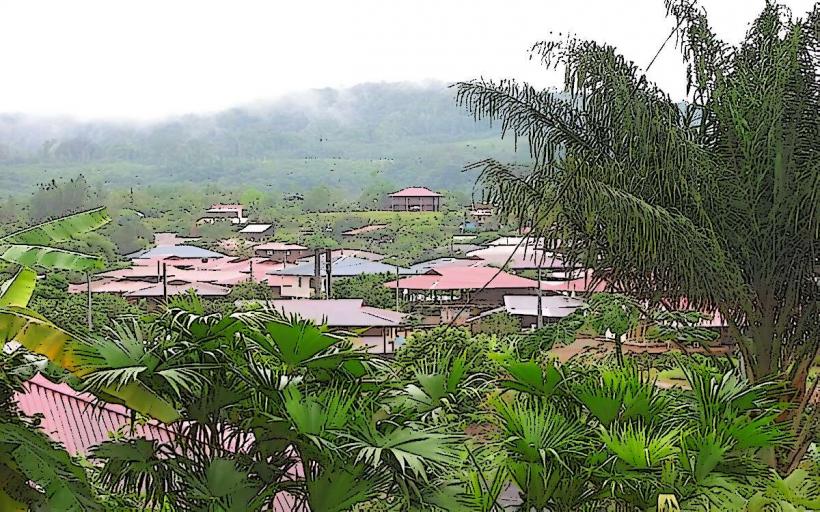
- Cacao Village (15km South)
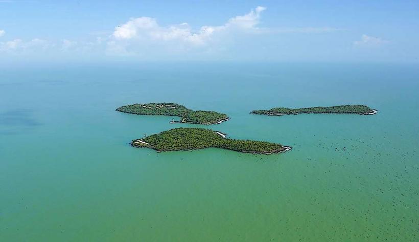
- Îles du Salut (40km Northeast, accessible by boat from Kourou)
- Pointe des Américains (55km Northwest)
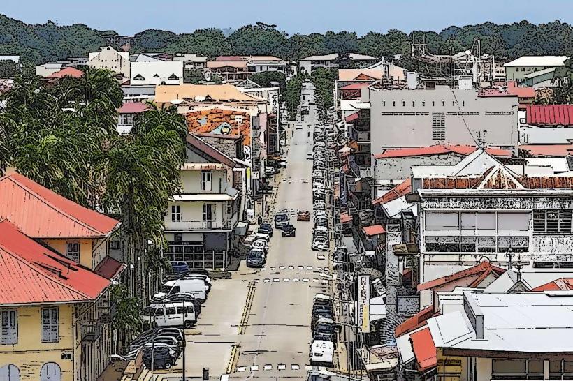
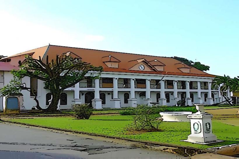
- Cayenne City Center (60km Northwest)