Information
Landmark: Waku-Bawé ReserveCity: Cayenne
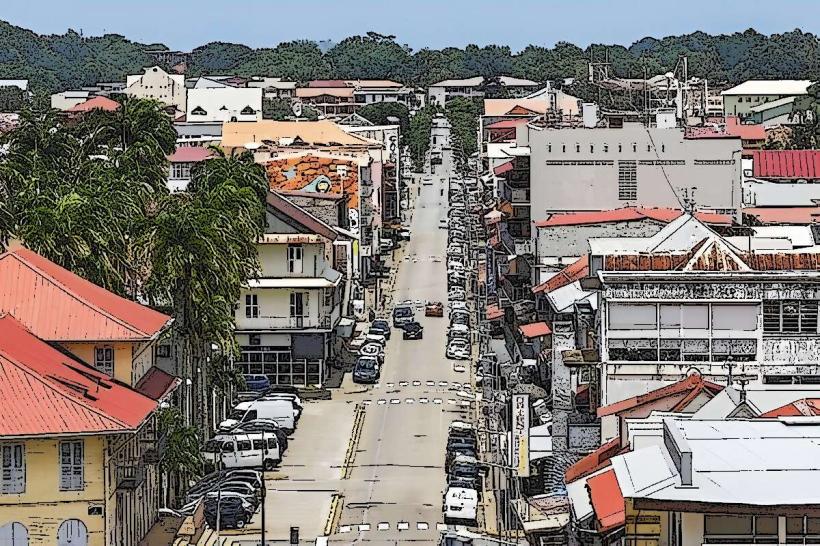
Country: French Guiana
Continent: South America
Waku-Bawé Reserve, Cayenne, French Guiana, South America
Waku-Bawé Reserve is a protected natural area situated approximately 15 kilometers southwest of Cayenne, French Guiana.
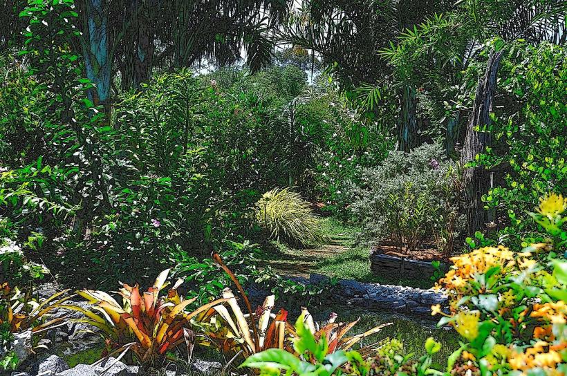
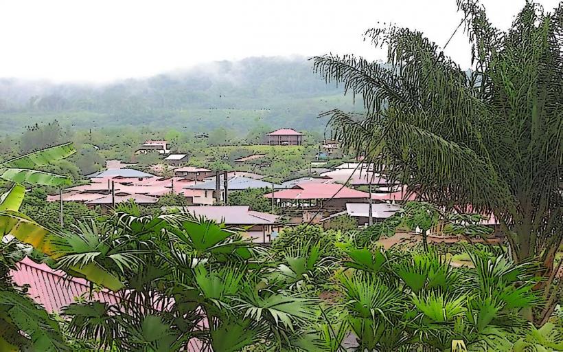
This reserve encompasses a significant portion of the coastal mangrove ecosystem and associated rainforest.
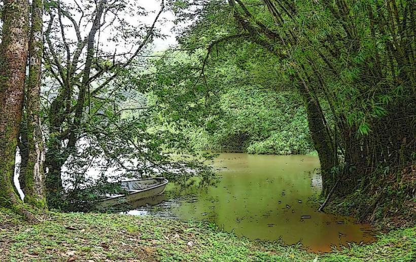
Visual Characteristics
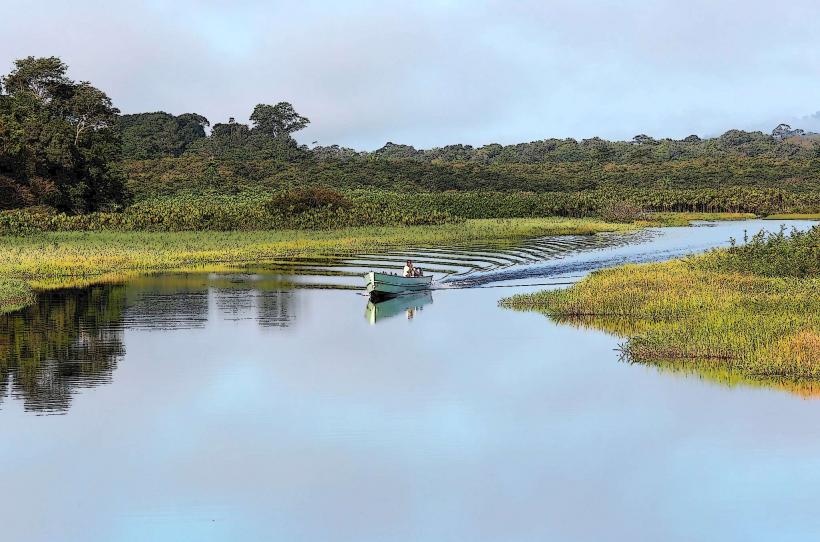
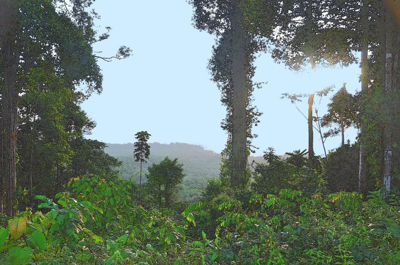
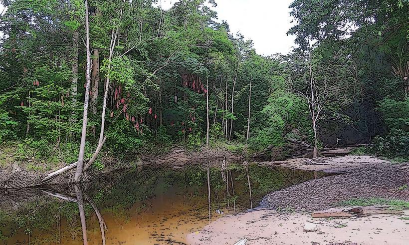
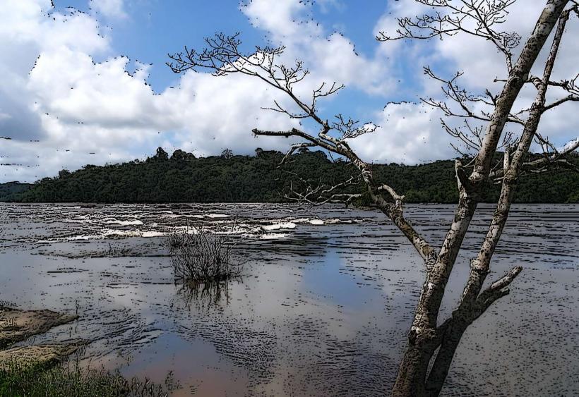
The reserve features dense tropical rainforest with a canopy reaching heights of 20-30 meters. Dominant tree species include various types of mangroves (Rhizophora, Avicennia) along the coast and inland, with buttress roots characteristic of the region. The water bodies within the reserve are typically brackish, reflecting the surrounding vegetation and soil. Soil composition is primarily alluvial mud in mangrove areas and lateritic clay in forested zones.
Location & Access Logistics
Access to Waku-Bawé Reserve is via the Route Nationale 5 (RN5) heading south from Cayenne. Approximately 12 kilometers from the city center, turn right onto the D26 road towards Montjoly. Continue on the D26 for about 3 kilometers until you reach the reserve entrance. Parking is available at designated points near the main visitor area. Public transport options are limited; Bus line 10 from Cayenne to Montjoly stops approximately 1.5 kilometers from the reserve entrance, requiring a walk.
Historical & Ecological Origin
Waku-Bawé Reserve was established in 1998 to protect the ecological integrity of the coastal mangrove and rainforest habitats. Ecologically, it represents a transition zone between the Atlantic Ocean and the Amazonian rainforest, supporting a high biodiversity of flora and fauna adapted to these specific conditions. The mangrove system plays a crucial role in coastal protection and as a nursery ground for marine life.
Key Highlights & Activities
Observation of wildlife, including various bird species (herons, egrets, kingfishers), monkeys, and reptiles, is a primary activity. Hiking is possible on marked trails, such as the "Sentier des Mangroves" (Mangrove Trail), which is approximately 2 kilometers long and features elevated boardwalks in some sections. Kayaking or canoeing on designated waterways is permitted during daylight hours, offering close-up views of the mangrove environment. Photography of flora and fauna is encouraged.
Infrastructure & Amenities
The reserve provides basic infrastructure including a small visitor center with informational displays, designated picnic areas, and restroom facilities. Shade is available in designated picnic spots and along some sections of the hiking trails. Cell phone signal (4G) is generally available near the visitor center but can be intermittent within the deeper parts of the reserve. No food vendors are present within the reserve; visitors are advised to bring their own provisions.
Best Time to Visit
The best time of day for wildlife observation is early morning (06:00-09:00) and late afternoon (16:00-18:00) when animals are most active. The dry season, from July to December, offers more predictable weather with less rainfall, making outdoor activities more comfortable. High tide is generally preferable for exploring the mangrove waterways by kayak, as it allows access to more areas.
Facts & Legends
A specific local legend associated with the area speaks of the "Esprit des Mangroves" (Spirit of the Mangroves), a guardian entity believed to protect the delicate balance of the ecosystem. A verified ecological fact is that the mangrove roots of Waku-Bawé act as a natural filter, improving water quality before it reaches the ocean.
Nearby Landmarks
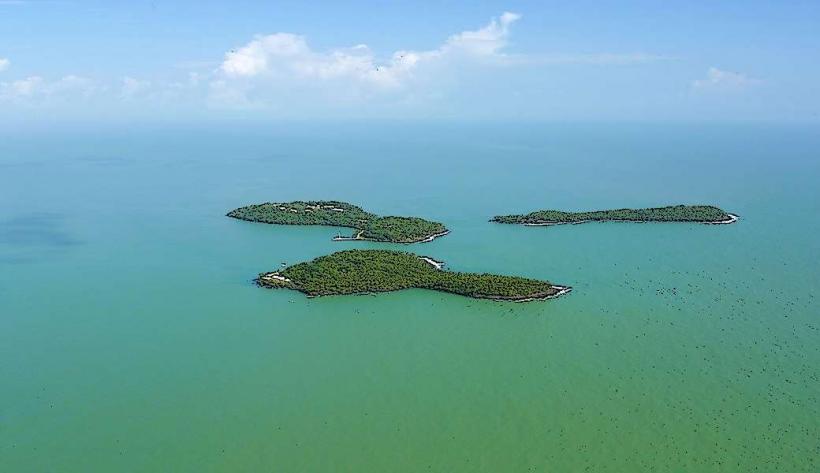
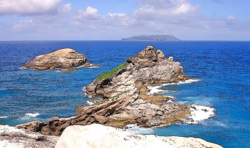
- Îles du Salut (0.8km East, offshore)
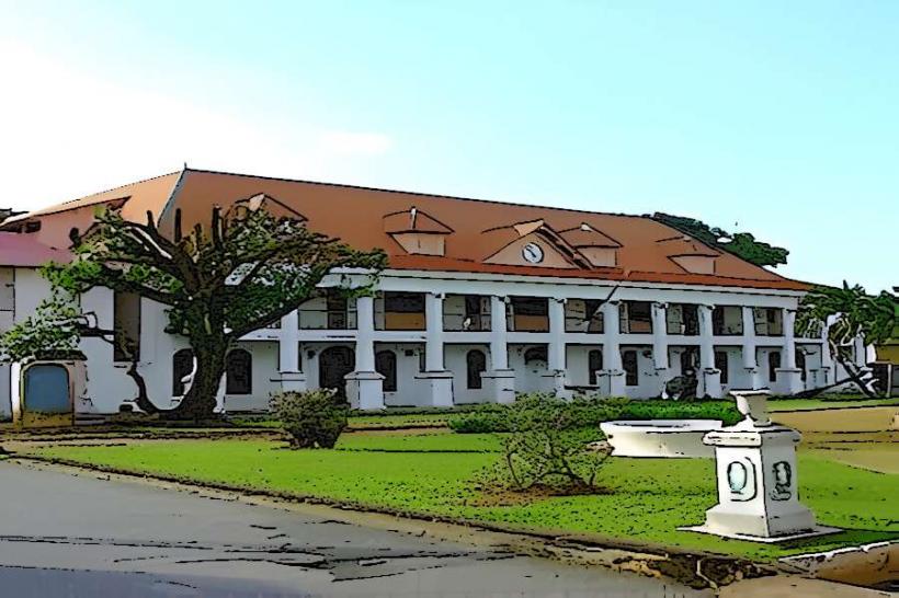
- Fort Cépérou (15km North)
- Musée de lasetContentType (14km North)
- Jardin Botanique de Cayenne (13km North)
- Cathédrale Saint-Sauveur de Cayenne (14km North)