Information
Landmark: Dominguez Canyon WildernessCity: Grand Junction
Country: USA Colorado
Continent: North America
Dominguez Canyon Wilderness, Grand Junction, USA Colorado, North America
Dominguez Canyon Wilderness is a protected area located in western Colorado, west of Grand Junction.
This wilderness area encompasses a significant portion of the Dominguez-Escalante National Conservation Area, featuring canyons, mesas, and riparian zones.
Visual Characteristics
The landscape is characterized by steep-walled canyons carved by the Gunnison River and its tributaries. Rock formations consist primarily of Entrada Sandstone and Mancos Shale, exhibiting shades of red, orange, and tan. Vegetation density varies, with riparian areas along the river supporting cottonwood trees and willows, while higher elevations feature pinyon-juniper woodlands and desert shrubs.
Location & Access Logistics
Access to Dominguez Canyon Wilderness is primarily from the Dominguez Canyon Road, which branches off Highway 50 approximately 15 miles west of Grand Junction. This unpaved road requires a high-clearance vehicle for the initial 5 miles. Further access points are available via the Dominguez-Escalante National Conservation Area visitor center. Parking is available at designated trailheads, with limited capacity. Public transport is not available to the wilderness area.
Historical & Ecological Origin
The canyons were geologically formed by the erosive power of the Gunnison River over millions of years. The area is ecologically classified as a high desert environment with a significant riparian corridor. Historically, the region was inhabited by Ancestral Puebloans, evidenced by numerous petroglyph sites within the canyons. Later, it was utilized by Ute tribes and early European settlers for ranching and mining.
Key Highlights & Activities
Hiking is a primary activity, with trails such as the Dominguez Canyon Trail (10 miles roundtrip) and the Upper Dominguez Trail. Rock climbing opportunities exist on sandstone cliffs. Wildlife viewing is possible, with species including bighorn sheep, mule deer, and various bird species. Photography of the canyon formations and petroglyphs is a common pursuit. Dispersed camping is permitted in designated areas.
Infrastructure & Amenities
Restrooms are available at the main trailhead. Shade is limited within the canyons, primarily found under cottonwood trees along the river. Cell phone signal is generally unreliable within the wilderness area. No food vendors are present within the wilderness; provisions should be carried in.
Best Time to Visit
The best months for visiting are April through May and September through October, avoiding the extreme summer heat and winter snow. Mid-morning and late afternoon offer optimal lighting for photography of the canyon walls. High tide is not a relevant factor for this terrestrial wilderness.
Facts & Legends
One of the most significant features is the presence of well-preserved Ancestral Puebloan petroglyphs, some dating back over 1,000 years. A specific tip for visitors is to carry ample water, as sources within the canyon are scarce and unreliable, especially during drier months.
Nearby Landmarks
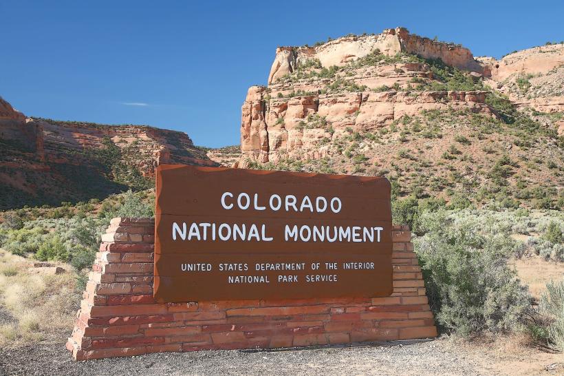
- Colorado National Monument (10km Northeast)
- Dinosaur Journey Museum (12km East)
- McInnis Canyons National Conservation Area (15km West)
- Fruita Historical Museum (8km East)