Information
Landmark: Redlands Mesa Trail SystemCity: Grand Junction
Country: USA Colorado
Continent: North America
Redlands Mesa Trail System, Grand Junction, USA Colorado, North America
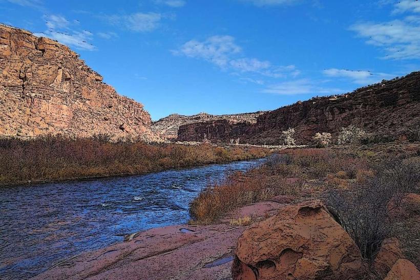
The Redlands Mesa Trail System is a network of multi-use trails located west of Grand Junction, Colorado. It provides access to varied desert terrain and geological formations.
Visual Characteristics
The landscape consists of sandstone formations, sparse desert vegetation including pinyon pine and juniper, and exposed rock faces. Trail surfaces vary from packed dirt to loose gravel and rocky sections. Elevation changes are significant, with some trails featuring steep ascents and descents.
Location & Access Logistics
The primary access point is via the 24 Road in Grand Junction. Turn west onto Little Park Road. The trailhead parking area is approximately 5 miles from the intersection of 24 Road and Little Park Road. Parking is available in a designated gravel lot. No public transport services this location.
Historical & Ecological Origin
The geological formations are primarily composed of Permian-era sandstone, shaped by millions of years of erosion. The area is classified as a high desert ecosystem, supporting flora and fauna adapted to arid conditions.
Key Highlights & Activities
Activities include mountain biking, hiking, and trail running. Specific trails include the "Pucker Up" trail (advanced mountain biking), the "North Fruita Desert Trail" (intermediate), and the "Redlands Mesa Loop" (moderate hiking). Trail difficulty is marked with standard signage.
Infrastructure & Amenities
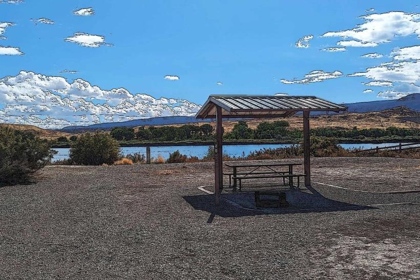
The main trailhead has a small parking lot. Restrooms are not available at the trailhead. Shade is minimal throughout the trail system. Cell phone signal is intermittent to non-existent in most areas.
Best Time to Visit
The best months for visiting are April, May, September, and October to avoid extreme summer heat and winter snow. Early morning or late afternoon provides optimal lighting for photography and cooler temperatures for activity. Avoid midday during summer months.
Facts & Legends
The sandstone formations exhibit cross-bedding patterns, indicating ancient sand dune deposition. Local lore sometimes refers to the area as "The Land of the Sleeping Giants" due to the shapes of some rock formations.
Nearby Landmarks
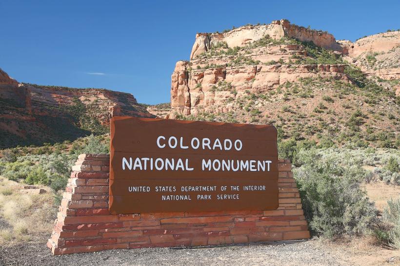
- Colorado National Monument (5km Northwest)
- James M. Robb Colorado State Park - Island Acres (8km East)
- Dinosaur Journey Museum (10km East)
- Fruita City Center (12km West)