Information
Landmark: Doolin VillageCity: Clare
Country: Ireland
Continent: Europe
Doolin Village, Clare, Ireland, Europe
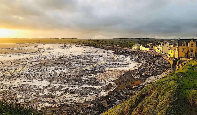
Doolin is a coastal village in North County Clare, situated on the edge of The Burren. It is internationally recognized as the center of traditional Irish music and serves as a primary transit hub for the Aran Islands.
Visual Characteristics
The village is spread across three distinct hubs (Fisher Street, Roadford, and the Harbor) rather than a single concentrated center.
Architecture: Features clusters of traditional thatched cottages, most notably in the Fisher Street area.
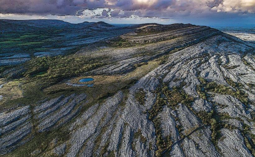
Geology: Located on a limestone base with the Aille River running through the village into the Atlantic.
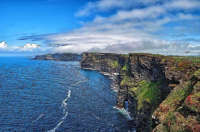
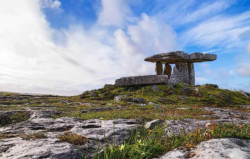
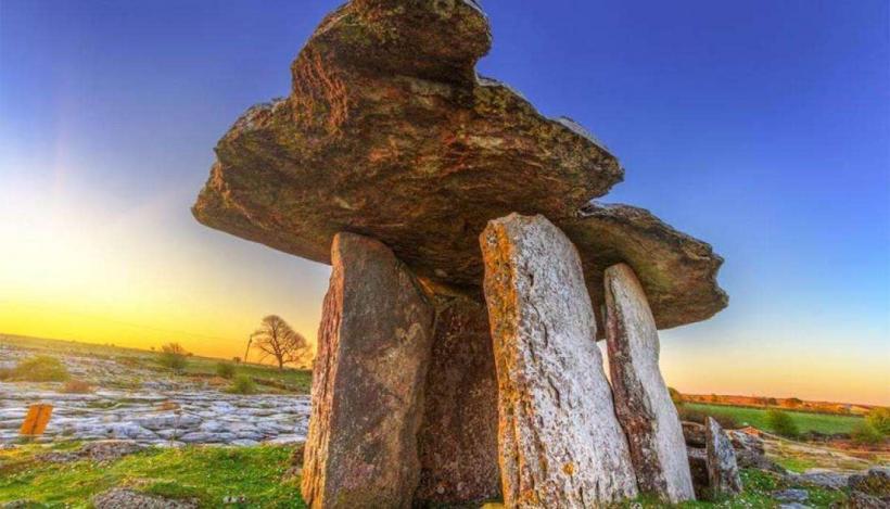
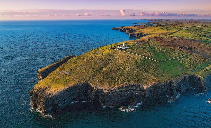
Landscape: Surrounded by the stark karst terrain of the Burren to the north and the start of the Cliffs of Moher to the south.
Location & Access Logistics
Address: Doolin, Co. Clare, Ireland.
Position: Located on the R479, approximately 8 km north of the Cliffs of Moher and 70 km south of Galway City.
Transit: Bus Éireann Route 350 provides daily service connecting Doolin to Galway, Ennis, and Shannon Airport.
Parking: Public parking is available at Doolin Pier (pay-and-display) and near the village centers at Fisher Street and Roadford.
Accessibility: The village is mostly level, but the coastal hiking paths and the pier area involve uneven stone and steep inclines.
Key Highlights & Activities
Traditional Music: Doolin is famous for its nightly "seisiún" (music sessions) in local pubs such as Gus O'Connor's, McDermott’s, and McGann’s.
Doolin Pier: The departure point for ferry services to Inis Oírr, Inis Meáin, and Inis Mór (Aran Islands), as well as Cliffs of Moher cruise tours.
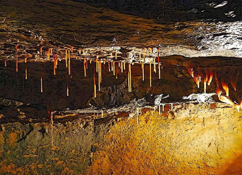
Doolin Cave (Pol an Ionáin): Located 4 km from the village, it houses the Great Stalactite, which at 7.3 meters is the longest free-hanging stalactite in the Northern Hemisphere.
Cliffs of Moher Coastal Walk: A 20 km linear trail starting from Doolin and running along the cliff edge to Hag's Head.
Infrastructure & Amenities
Connectivity: 4G signal is stable in the village but drops significantly on the coastal trail and toward the Burren hills.
Sanitation: Public restrooms are located at Doolin Pier and in the Doolin Tourism Information Office.
Commercial: Contains specialized craft shops, sweater shops, and outdoor equipment rentals (bicycles/hiking gear).
Accommodation: High density of B&Bs, a hostel, a hotel, and a large campsite/caravan park near the pier.
Historical Origin
Doolin was traditionally a fishing and farming community. Its global reputation grew in the 1970s following the popularity of local musicians, particularly the Russell brothers (Micho, Gussie, and Pakie), who were instrumental in revitalizing interest in traditional Irish wind instruments.
Technical Details
The village sits on Carboniferous limestone. The local harbor, Doolin Pier, was significantly upgraded in 2015 with a new pier structure to accommodate larger ferry vessels and manage the Atlantic's high tidal range and surge.
Nearby Landmarks
Cliffs of Moher – 8 km South
The Burren – Begins immediately North/East
Lisdoonvarna – 7 km East
Aran Islands – 20–50 minute ferry ride West