Information
Landmark: Estanys de TristainaCity: Ordino
Country: Andorra
Continent: Europe
Estanys de Tristaina, Ordino, Andorra, Europe
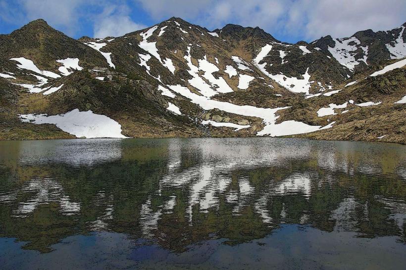
The Estanys de Tristaina are a group of three high-altitude glacial lakes-Estany Primer, Estany del Mig, and Estany Més Amunt-located in the Ordino parish of Andorra. Situated within the Cirque de Tristaina, they are a primary destination for mountain trekking and represent one of the most accessible alpine lake systems in the Pyrenees.
Visual Characteristics
The lakes are characterized by clear, cold water that transitions from light turquoise to deep navy blue depending on depth. The surrounding terrain is a classic glacial cirque, featuring jagged granite peaks, scree slopes, and alpine meadows. Estany Primer (the smallest) is known for its circular shape, while Estany Més Amunt (the highest at 2,300m) is situated at the base of the Tristaina Peak and features deeper, darker waters and rocky shores.
Location & Access Logistics
The lakes are located at the northern end of the CG-3 road, beyond the Ordino Arcalís ski resort. Access is via the La Coma parking lot. During summer months, the road to La Coma may be closed to private vehicles; visitors must use the Tristaina Cable Car or the Arcalís Minitrain to reach the trailhead. The primary hiking loop starts at the La Coma restaurant and covers approximately 4.4km with a 210m elevation gain.
Historical & Ecological Origin
The lakes were formed through glacial erosion during the Pleistocene epoch, which carved deep depressions into the metamorphic and igneous rock of the Pyrenees. The area is a protected high-mountain ecosystem, home to alpine flora such as the Pyrenean lily and fauna including marmots, chamois (isards), and vultures.
Key Highlights & Activities
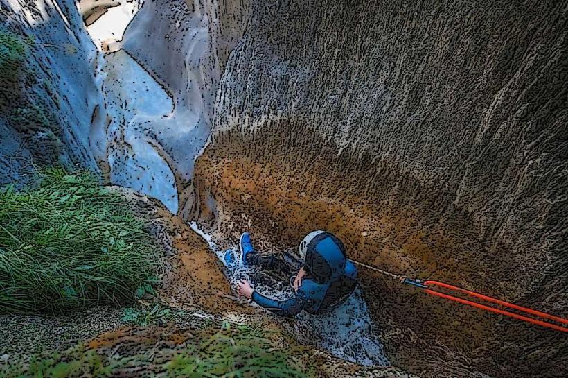
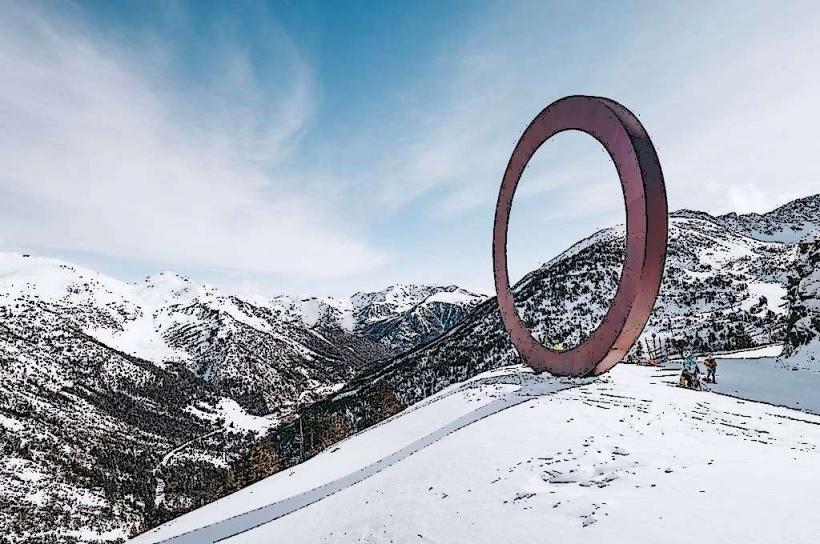
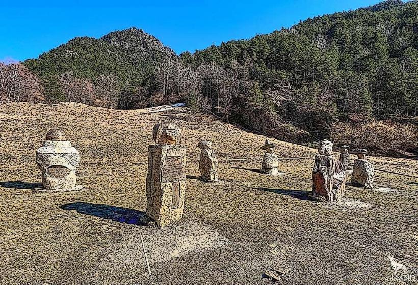
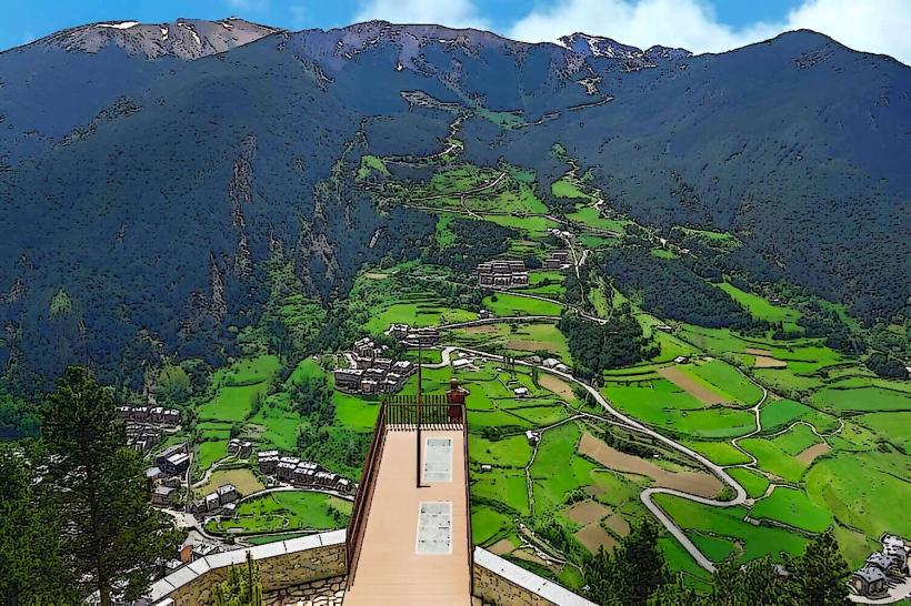
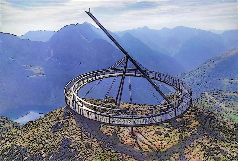
Hiking the circular trail is the primary activity, offering views of all three lakes. The Mirador Solar de Tristaina, a large circular viewing platform located on the Peyreguils peak, is accessible via cable car and provides a top-down perspective of the entire lake basin. Fishing is permitted with a valid license, and the area is a popular spot for professional mountain photography.
Infrastructure & Amenities
Infrastructure is concentrated at the La Coma base area, which includes a restaurant, public restrooms, and a terrace. 4G cellular signal is generally available but can be intermittent in the shadow of the higher peaks. There is no shade along the trails due to the high-altitude alpine environment; visitors must carry water as there are no vendors beyond the restaurant.
Best Time to Visit
The best time for hiking is from June to October, after the winter snow has melted. For photography, the morning hours provide the best light on the Cirque de Tristaina walls. High-altitude weather is volatile; afternoon thunderstorms are frequent in July and August. In late spring (June), the lakes are often still partially frozen or surrounded by snowfields.
Facts & Legends
The water from these lakes eventually flows into the Valira del Nord river. A local tip for hikers is to follow the trail in a clockwise direction to tackle the steepest sections early and enjoy a more gradual descent with constant views of the water. The lakes are the source of several local myths regarding "encantades" (water sprites) believed to inhabit the deep glacial waters.
Nearby Landmarks
Mirador Solar de Tristaina (0.8km North-East)
Tristaina Peak (1.2km North-West)
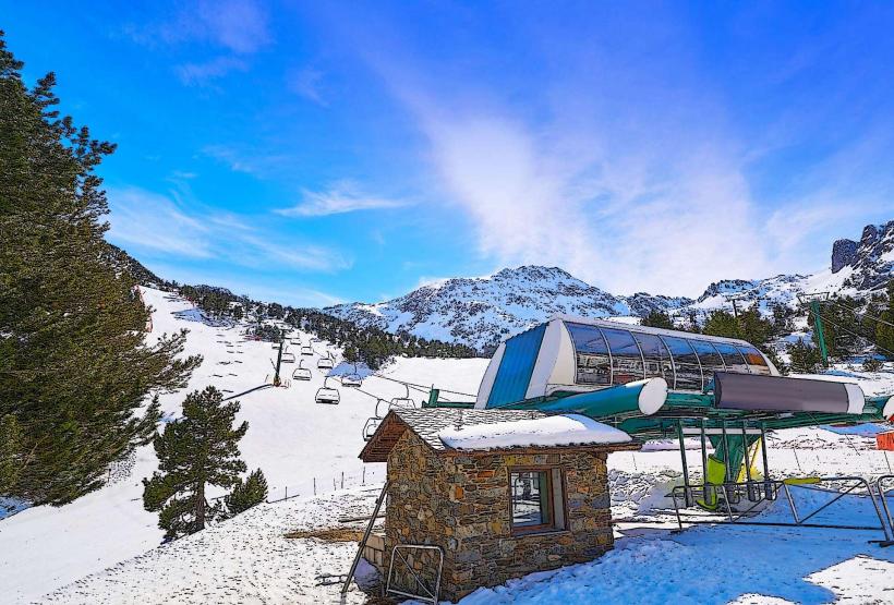
Ordino Arcalís Ski Resort (1.5km South)
Creussans Lake (2.1km West)
Sorteny Nature Park (4.8km East)