Information
Landmark: Pic de TristainaCity: Ordino
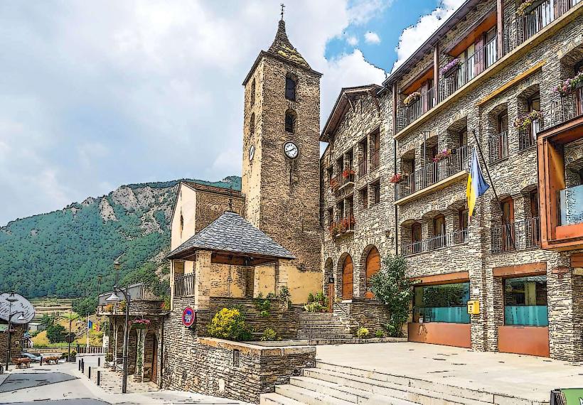
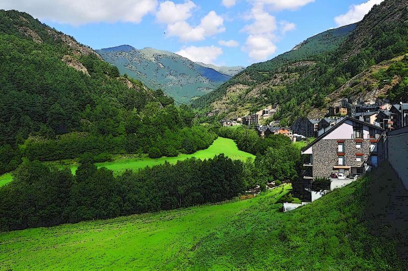
Country: Andorra
Continent: Europe
Pic de Tristaina, Ordino, Andorra, Europe
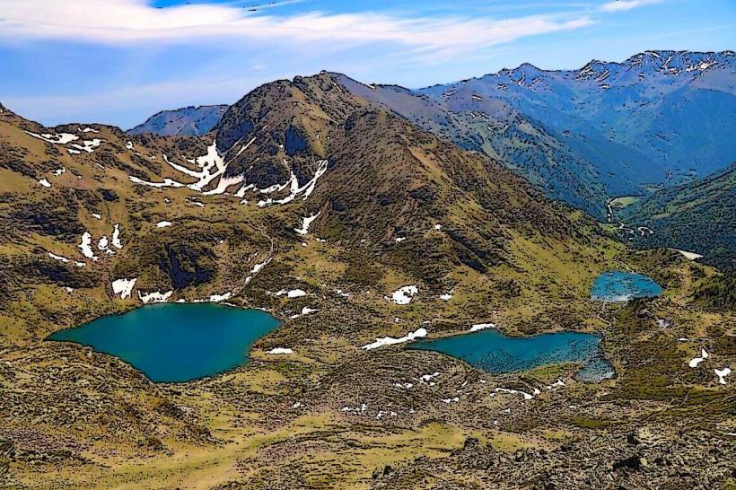
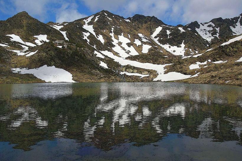
Pic de Tristaina is a mountain peak reaching an elevation of 2,878 meters, situated in the Ordino parish of Andorra near the French border. It serves as the prominent backdrop to the Tristaina glacial cirque and its three high-altitude lakes.
Visual Characteristics
The peak consists of dark, jagged Hercynian slate and schist formations. The terrain is characterized by steep, rocky ridges and sparse alpine vegetation above 2,300 meters. The base of the mountain features three circular glacial basins containing deep blue water, while the summit offers a 360-degree view of the Auzat and Vicdessos valleys.
Location & Access Logistics
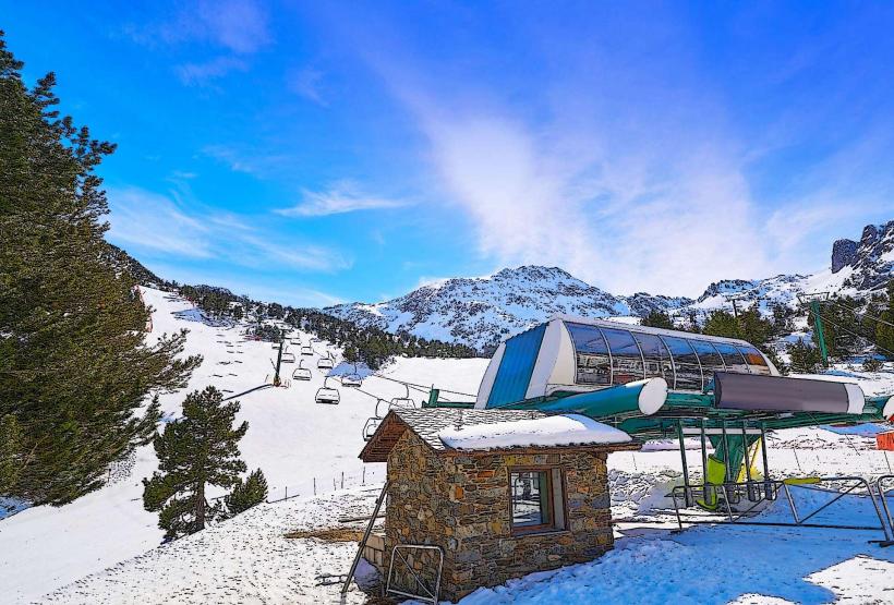
Access is via the CG-3 road, terminating at the parking area of the Ordino Arcalís ski resort, approximately 20km from the center of Andorra la Vella. From the parking lot, the trailhead begins near the Restaurant de la Coma. Public transport is available via the L6 bus line to Ordino, followed by the seasonal "Bus de la Neu" or summer shuttles to the resort base.
Historical & Ecological Origin
The mountain is a product of the Pyrenean orogeny, shaped primarily by glacial erosion during the Quaternary period. This process carved the distinctive U-shaped valleys and the triple-stepped lake system. The area is part of the UNESCO-designated Ordino Biosphere Reserve, protected for its high-mountain ecosystems and Pyrenean flora.
Key Highlights & Activities
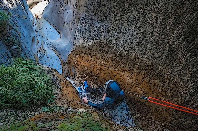
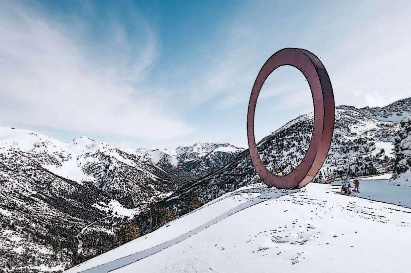
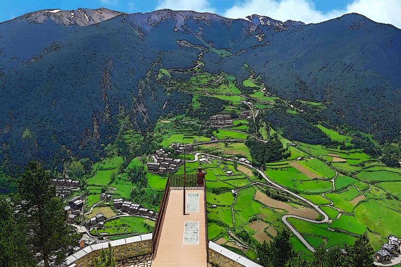
Ascending the peak requires a Grade F (Easy) scramble via the southwest ridge. The circular hiking route around the three lakes (Estanys de Tristaina) takes approximately 3 hours. The Tristaina Solar Viewpoint, a 25-meter diameter suspended ring on the Peyreguils peak, is accessible via the Creussans chairlift for views of the Tristaina massif.
Infrastructure & Amenities
The Restaurant de la Coma at the trailhead provides food, water, and restroom facilities. 4G/5G mobile signal is generally available along the ridges but inconsistent in deep glacial hollows. There is no natural shade on the ascent; hikers must carry sun protection. Potable water stations are not available along the mountain trails.
Best Time to Visit
Optimal hiking conditions occur from late June to early October when the trails are clear of snow. Photography is best during the "golden hour" shortly after sunrise to capture the reflection of the peak in the Estany Primer. High-altitude thunderstorms are frequent in August afternoons; morning departures are required for safety.
Facts & Legends
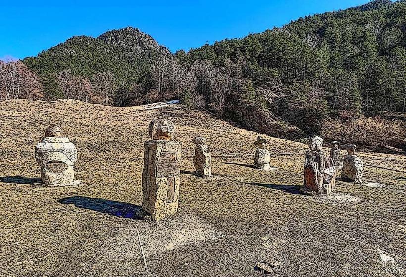
A local legend suggests the lakes are bottomless and connected to subterranean rivers that reach the center of the earth. Logistically, the "Tristaina Solar Viewpoint" functions as a giant sundial, with its central gnomon marking the solar solstices on the structure's perimeter.
Nearby Landmarks
Estanys de Tristaina - 1.2km South
Ordino Arcalís Ski Resort - 1.5km South
Tristaina Solar Viewpoint - 0.8km Southeast
Pic de Cataperdís - 2.1km Southwest
Punta de Peyreguils - 0.9km Southeast