Information
Landmark: Fig Tree DriveCity: Southwest Antigua
Country: Antigua and Barbuda
Continent: North America
Fig Tree Drive, Southwest Antigua, Antigua and Barbuda, North America
Fig Tree Drive is a scenic roadway located in the southwestern interior of Antigua, Antigua and Barbuda. It traverses a tropical rainforest environment.
Visual Characteristics
The drive is characterized by dense, mature rainforest vegetation, including numerous fig trees, palms, and other tropical flora. The road surface is paved asphalt. The terrain is undulating, with some steep inclines and sharp turns. The canopy cover is significant, creating shaded conditions for much of the route.
Location & Access Logistics
Fig Tree Drive is situated approximately 15 kilometers southwest of St. John's, the capital city. Access is via the main road heading south from St. John's, then turning onto the clearly marked Fig Tree Drive. The drive is approximately 8 kilometers long. Parking is limited to informal pull-offs along the roadside. No public transport routes directly service Fig Tree Drive; private vehicle or taxi hire is required.
Historical & Ecological Origin
The route follows the natural topography of the island's interior highlands. The rainforest ecosystem is a remnant of the island's original vegetation, preserved due to the less accessible terrain. The road itself was constructed to facilitate access and tourism to this interior region.
Key Highlights & Activities
Observation of diverse plant and animal life, including various bird species. Opportunities for photography of the dense forest canopy and roadside flora. Stops at designated viewpoints for panoramic vistas of the surrounding valleys.
Infrastructure & Amenities
Restrooms are not available along the drive. Shade is provided by the forest canopy. Cell phone signal (4G/5G) is intermittent to non-existent for most of the route. No food vendors are present directly on Fig Tree Drive; amenities are available in nearby villages or St. John's.
Best Time to Visit
The best time of day for photography is mid-morning (9:00 AM - 11:00 AM) or late afternoon (3:00 PM - 5:00 PM) to capture sunlight filtering through the canopy. The best months for visiting are generally from December to May, during the drier season, to minimize the chance of heavy rainfall impacting visibility and driving conditions.
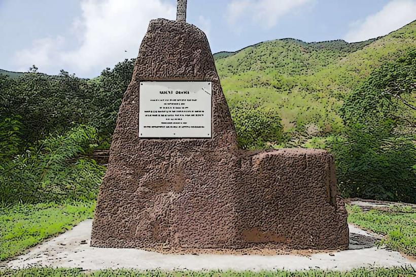
Facts & Legends
Local folklore suggests that the drive is home to various spirits and ancient entities, contributing to its mystical atmosphere. A specific point of interest is the "Wall of Sound," an area where the dense foliage amplifies the sounds of the rainforest.
Nearby Landmarks
- Wallings Nature Trail: 1.5km Northeast
- Shirley Heights: 6km East
- Nelson's Dockyard National Park: 7km Southeast
- English Harbour Town: 7km Southeast
- Dow's Hill Interpretation Centre: 6.5km East