Information
Landmark: Mount Obama (Boggy Peak)City: Southwest Antigua
Country: Antigua and Barbuda
Continent: North America
Mount Obama (Boggy Peak), Southwest Antigua, Antigua and Barbuda, North America
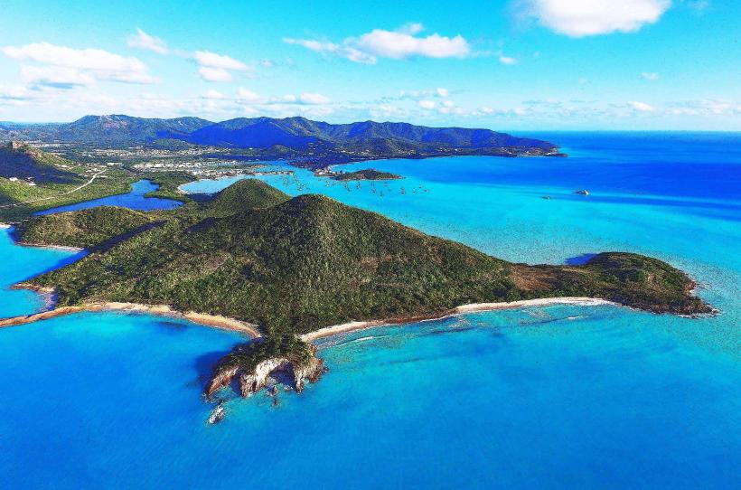
Mount Obama, previously known as Boggy Peak, is the highest point in Antigua and holds both geographical and historical significance. Renamed in 2009 in honor of former U.S. President Barack Obama on his birthday, August 4th, it stands at 402 meters (1,319 feet) above sea level. The mountain is located in the southwestern part of Antigua and offers panoramic views of the island, making it a significant landmark for both hiking enthusiasts and those interested in the island’s natural beauty.
Historical and Cultural Significance
- Renaming Ceremony: The renaming to Mount Obama was part of a national celebration by the Antiguan government to honor Barack Obama’s presidency and the symbol of hope he represented to the global community.
- Original Name: Known as Boggy Peak for centuries, it held cultural meaning to the local population and was recognized as the island’s most prominent geographic feature.
- Local Symbolism: The peak symbolizes national pride and resilience, and its renaming commemorated a key moment in modern history, connecting Antigua to broader global narratives.
Natural Environment
- Flora and Fauna: The mountain is covered with lush tropical vegetation, including endemic plant species and wildlife native to Antigua. The area is characterized by a mix of dry forest and moist forest ecosystems as the elevation changes.
- Biodiversity: It serves as a refuge for a variety of birds, insects, and small mammals, contributing to Antigua’s biodiversity. The slopes are also home to rare plants that thrive in the higher, cooler elevations.
Hiking and Recreation
1. Hiking Trails
- Main Trail: The primary hiking trail to Mount Obama’s summit is a moderately challenging route that takes approximately 1.5 to 2 hours to ascend. It is suitable for those with a reasonable level of fitness.
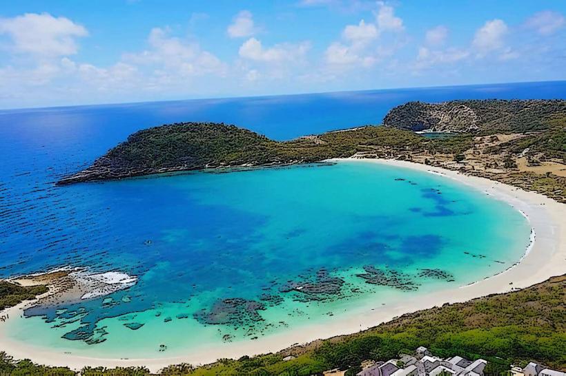
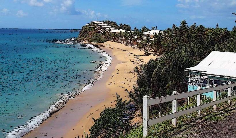
- Scenic Views: Hikers are rewarded with spectacular views of the Caribbean Sea, neighboring islands, and the lush Antiguan countryside. On clear days, it’s possible to see as far as Montserrat and St. Kitts.
2. Observation Points
- The summit of Mount Obama features an observation point where visitors can take in the expansive scenery. The area is ideal for photography, picnics, and quiet reflection in nature.
3. Wildlife Observation
- Nature lovers can encounter various bird species, including Caribbean endemic birds, and observe native flora along the trail. The mountain’s diversity in ecosystems creates a rich environment for nature enthusiasts.
Accessibility and Tips
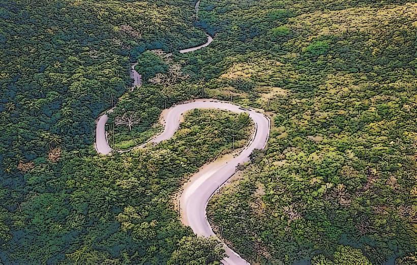
- Access: The main access route to the base of Mount Obama is via Boggy Peak Road, a rough road that may require a 4WD vehicle in some areas. Locals and tour operators often guide visitors to the best entry points.
- Preparation: Proper hiking shoes, water, and sun protection are essential, as the tropical climate can make the climb challenging, particularly in the heat.
- Guided Tours: For those unfamiliar with the trail, guided hikes are available and provide insight into the local flora, fauna, and history of the area.
Conservation and Environmental Challenges
- Protected Status: Efforts are underway to ensure that the mountain and surrounding area remain protected from overdevelopment and environmental degradation.
- Sustainability: Local conservation groups promote sustainable tourism and environmental awareness to preserve this natural landmark for future generations.
Points of Interest Near Mount Obama
- Wallings Nature Reserve: A nearby protected area offering additional hiking trails and opportunities to explore Antigua’s unique ecosystems.
- Shekerley Mountains Range: The broader mountainous region where Mount Obama is situated, providing a diverse landscape of hills, valleys, and forested areas to explore.
- Local Communities: Villages around the base of the mountain offer a glimpse into traditional Antiguan life and culture, with opportunities to engage with locals and learn about the island’s heritage.
Tips for Visiting
- Early Morning Hike: Start your hike early in the morning to avoid midday heat and enjoy cooler temperatures.
- Pack Essentials: Bring plenty of water, snacks, a hat, and sunscreen. Bug repellent is also recommended due to the tropical vegetation.
- Respect Nature: As a natural reserve, visitors should respect the environment, avoiding littering and staying on designated paths to protect local flora and fauna.
In Summary
Mount Obama, Antigua’s highest point, is a landmark of national pride, natural beauty, and historical relevance. Whether you’re seeking an adventurous hike, stunning island views, or a connection to Antigua’s heritage, this peak offers an unforgettable experience. Renamed in honor of a globally recognized leader, it symbolizes hope and resilience while preserving the island’s rich ecological and cultural heritage.