Information
Landmark: Fort CharlesCity: Port Royal
Country: Jamaica
Continent: North America
Fort Charles, Port Royal, Jamaica, North America
Fort Charles is a historic fortification situated at the southwestern tip of Port Royal, Jamaica.
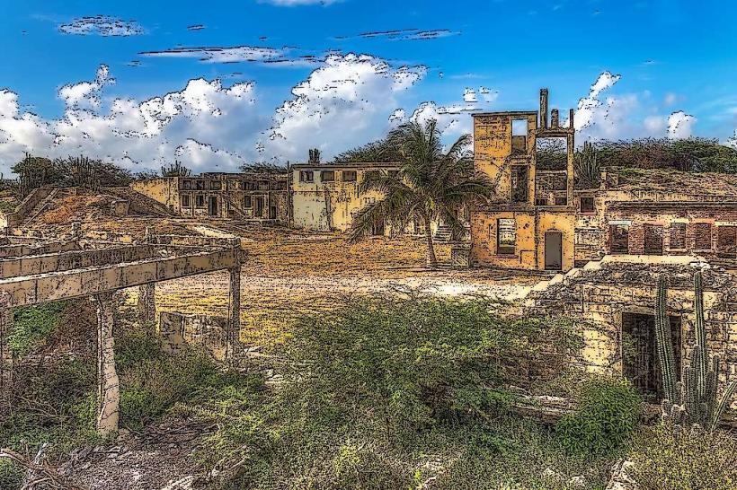
This extensive stone structure served as a primary defense for the former capital of Jamaica.
Visual Characteristics
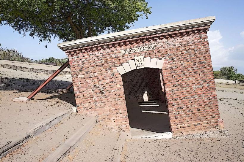
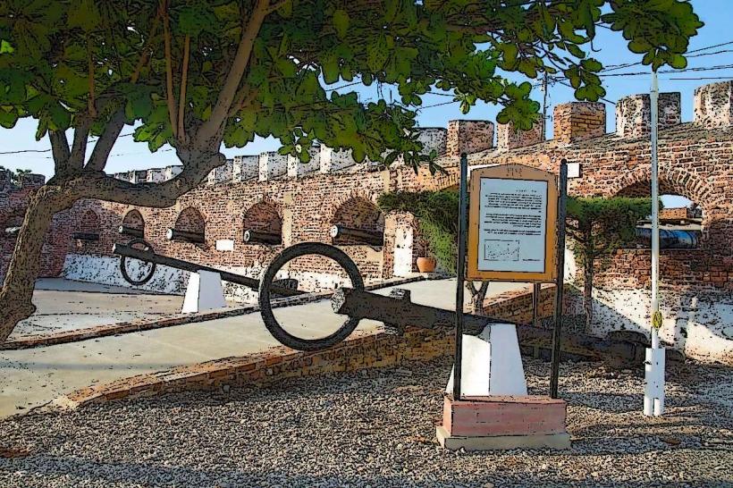
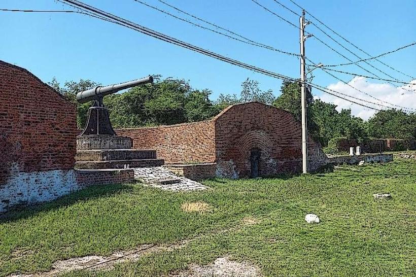
The fort is constructed from coral stone and brick. Its primary features include thick, weathered walls, bastions, and gun emplacements. The structure exhibits a functional, military architectural style, designed for defense rather than aesthetics. Sections of the fort are partially submerged due to seismic activity and erosion.
Location & Access Logistics
Fort Charles is located at the end of Fort Charles Road in Port Royal, approximately 16 kilometers southeast of Kingston. Access is via Highway A1, then onto the Port Royal main road. Parking is available on-site, though limited. Public transport options include JUTC bus route 95, which terminates in Port Royal.
Historical & Ecological Origin
Construction of Fort Charles began in 1650 and continued through subsequent decades, with significant modifications after the 1692 earthquake. It was built by the British colonial administration to protect the harbor of Port Royal, which was a major naval base and commercial center. The fort's foundation is built on reclaimed land and natural coral formations.
Key Highlights & Activities
Visitors can walk along the ramparts, observe the remaining cannons, and explore the various rooms and structures within the fort. The site offers views of Kingston Harbour and the Caribbean Sea. Interpretive displays detail the fort's history and the earthquake of 1692.
Infrastructure & Amenities
Restrooms are available on-site. Limited shade is provided by some of the remaining structures. Cell phone signal (4G) is generally available. Food vendors are typically located in the town of Port Royal, a short walk from the fort.
Best Time to Visit
The best time of day for photography is mid-morning or late afternoon to avoid harsh overhead sunlight. The driest months are typically December through April. No specific tide requirements affect access.
Facts & Legends
A notable feature is the "Giddy House," a former ammunition magazine that tilted during the 1692 earthquake and remains at an angle. Local lore suggests that the ghost of a former governor still patrols the ramparts.
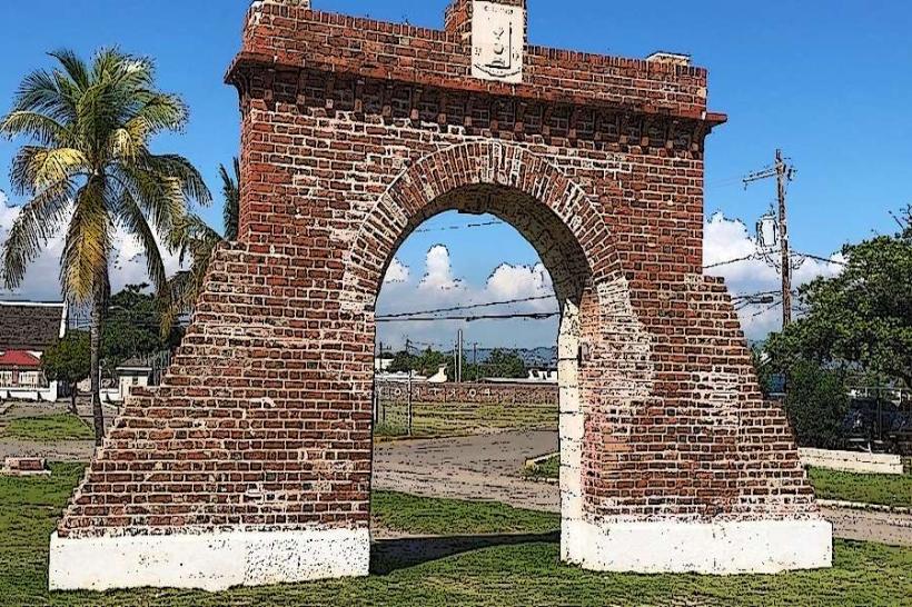
Nearby Landmarks
- St. Peter's Anglican Church (0.3km North)
- The Old Naval Dockyard Museum (0.4km North)
- The Giddy House (0.1km West)
- Morgan's Harbour Hotel & Marina (0.6km North)