Information
Landmark: Gunboat BeachCity: Port Royal
Country: Jamaica
Continent: North America
Gunboat Beach, Port Royal, Jamaica, North America
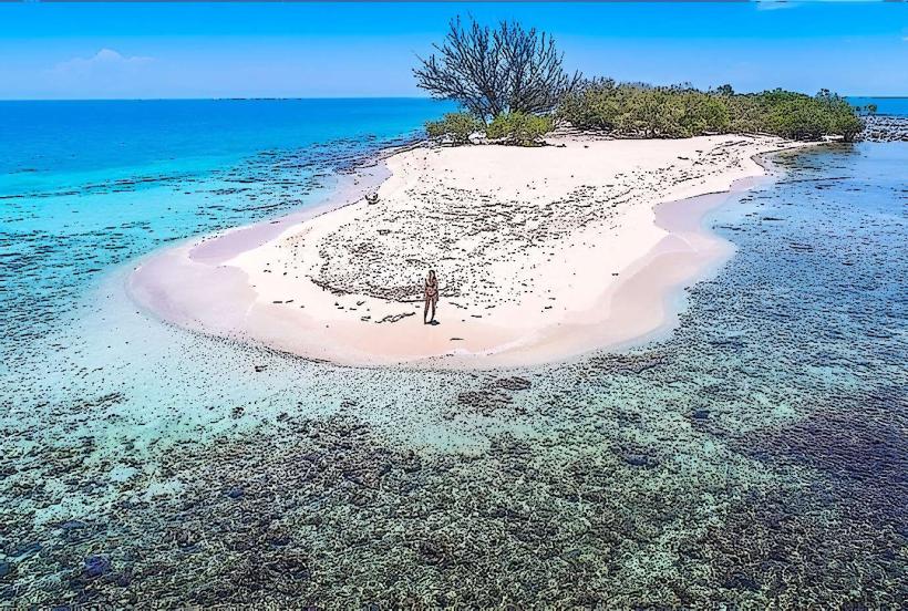
Gunboat Beach is a coastal area located in Port Royal, Jamaica. It is characterized by its shallow, clear waters and sandy shoreline.
Visual Characteristics
The beach features light brown, fine-grained sand. The water is consistently clear with a pale turquoise hue. The shoreline is approximately 500 meters long and is bordered by low-lying coastal vegetation, primarily sea grape trees and scrub. No significant rock formations are present along the immediate beach area.
Location & Access Logistics
Gunboat Beach is situated at the eastern end of Port Royal, approximately 1.5 kilometers from the town center. Access is via Fort Charles Drive, which leads directly to a small, unpaved parking area with capacity for approximately 15 vehicles. Public transport to Port Royal is limited to JUTA taxis and route taxis originating from Kingston. There are no direct bus routes to Gunboat Beach itself; a walk of approximately 20 minutes from the main Port Royal bus stop is required.
Historical & Ecological Origin
The beach's name derives from the historical presence of naval gunboats that were stationed in Port Royal during the colonial era. The area is a natural accretion of sand and sediment, typical of sheltered coastal environments in the Caribbean. Ecologically, it functions as a shallow marine habitat supporting small fish species and invertebrates.
Key Highlights & Activities
Swimming is possible in the calm, shallow waters. Beachcombing for shells is a common activity. Observation of local birdlife, particularly shorebirds, can be undertaken. No organized tours or rental facilities are available on-site.
Infrastructure & Amenities
There are no permanent restroom facilities or shade structures at Gunboat Beach. No food vendors operate directly on the beach. Cell phone signal (4G) is generally available, though it may be intermittent at the furthest points of the beach.
Best Time to Visit
For photography, the period between 9:00 AM and 11:00 AM offers direct sunlight with minimal shadows. The months of December through April provide the driest weather conditions. High tide is generally preferred for swimming due to slightly deeper water, though the area remains shallow.
Facts & Legends
Local lore suggests that remnants of shipwrecks from the 1692 earthquake lie just offshore, though no specific archaeological evidence is publicly accessible from the beach itself. A practical tip for visitors is to bring insect repellent, as sandflies can be present, especially during dawn and dusk.
Nearby Landmarks
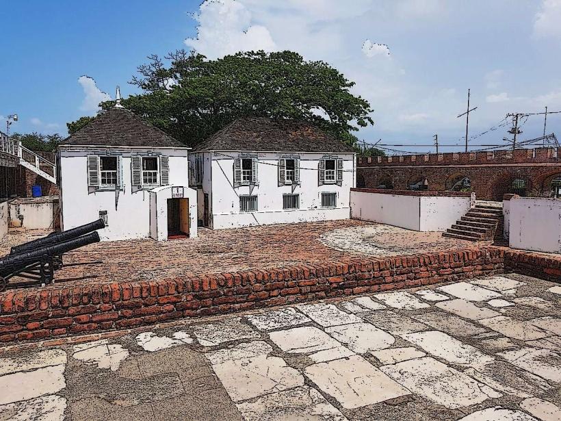
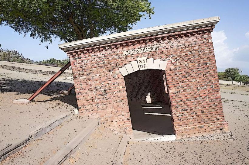
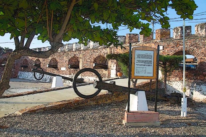
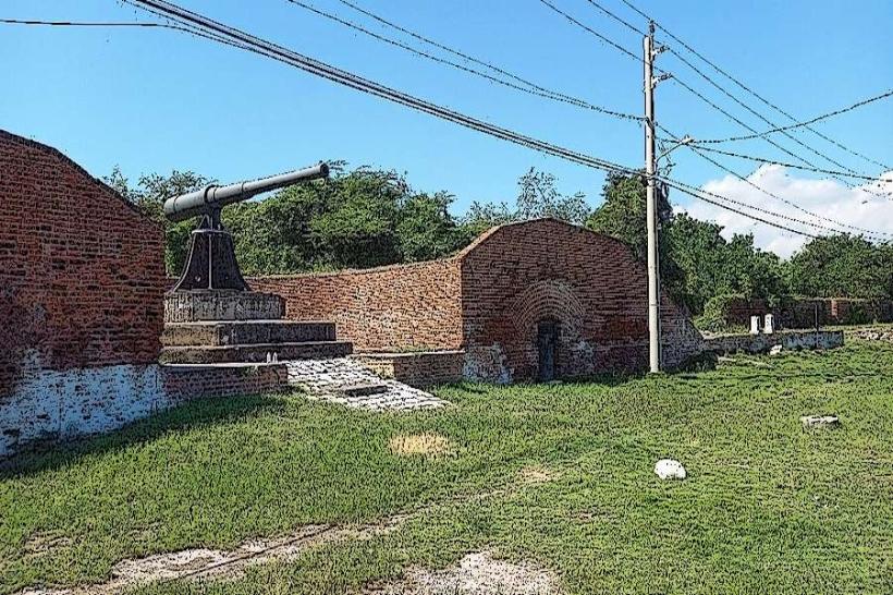
- Fort Charles (0.8km West)
- St. Peter's Church (1.2km West)
- Giddy House (1.4km West)
- National Museum West (1.6km West)