Information
Landmark: Freights BayCity: Oistins
Country: Barbados
Continent: North America
Freights Bay, Oistins, Barbados, North America
Freights Bay is a coastal area located south of Oistins in Barbados. It is recognized for its consistent wave conditions suitable for surfing.
Visual Characteristics
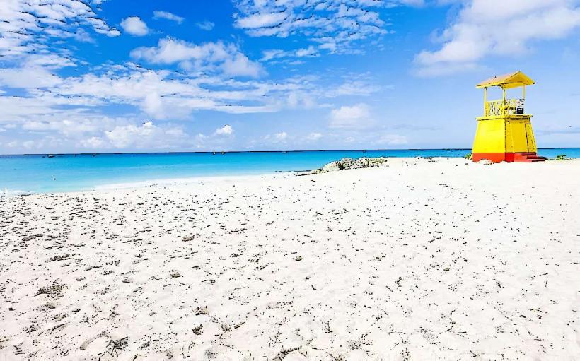
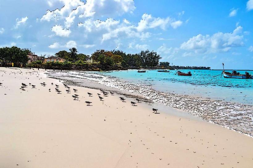
The bay features a sandy seabed with scattered coral formations. The water color ranges from turquoise to deep blue depending on depth and light. The shoreline is characterized by light brown sand and sparse coastal vegetation.
Location & Access Logistics
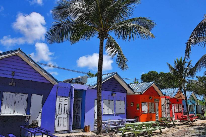
Freights Bay is situated approximately 2 kilometers west of Oistins town center. Access is via the main coastal road, South Coast Highway. Parking is available along the roadside adjacent to the bay. Public transport is accessible via bus route numbers 6, 11, and 12, which stop within a 5-minute walk.
Historical & Ecological Origin
Freights Bay is a natural geological formation, part of the wider coral reef system characteristic of Barbados's south coast. Its formation is attributed to the accumulation of coral skeletons over millennia, shaped by wave action and sea level changes.
Key Highlights & Activities
Surfing is the primary activity, with consistent swells suitable for beginner to intermediate levels. Surf schools operate on-site, offering lessons and equipment rental. Swimming is possible but requires caution due to surf conditions.
Infrastructure & Amenities
Restrooms are available at a small facility near the parking area. Limited shade is provided by natural vegetation. Cell phone signal (4G) is generally reliable. Food vendors are typically present during peak hours, offering local snacks and beverages.
Best Time to Visit
The best time for surfing is generally between December and May, when prevailing trade winds are offshore. Mornings often provide calmer conditions for learning. High tide is preferred for surfing due to deeper water over the reef.
Facts & Legends
Freights Bay is known locally as a reliable spot for catching waves year-round, making it a consistent training ground for local surfers. The bay's name is believed to originate from historical shipping activities in the area.
Nearby Landmarks
- Oistins Fish Fry (1.5km East)
- Miami Beach (2km East)
- Maxwell Beach (3km West)
- South Point Lighthouse (4km Southwest)