Information
Landmark: Miami Beach (Enterprise Beach)City: Oistins
Country: Barbados
Continent: North America
Miami Beach (Enterprise Beach), Oistins, Barbados, North America
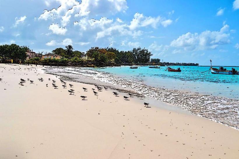
Miami Beach, also known as Enterprise Beach, is a public beach located in Oistins, Christ Church, Barbados.
This stretch of coastline features fine, light-colored sand and calm, clear turquoise waters.
Visual Characteristics
The beach is characterized by its wide expanse of soft, pale yellow sand. The water clarity is high, with a gradient of blue hues from shallow turquoise to deeper azure. Coconut palms and sea grape trees line the back of the beach, providing natural shade.
Location & Access Logistics
Miami Beach is situated approximately 1.5 kilometers west of the Oistins town center. Access is directly from the ABC Highway via Enterprise Road. Ample paved parking is available adjacent to the beach. Public transport is accessible via the Oistins bus terminal, with local buses running frequently along the main road.
Historical & Ecological Origin
The beach is part of the southern coastline of Barbados, formed by the accumulation of coral reef debris and sand over geological time. It is a natural coastal feature, not a man-made construction.
Key Highlights & Activities
Swimming is a primary activity due to the calm waters. Snorkeling is possible in the shallow reef areas, particularly on the western side. The eastern section is suitable for sunbathing and relaxation. A designated area at the western end is popular for paddleboarding.
Infrastructure & Amenities
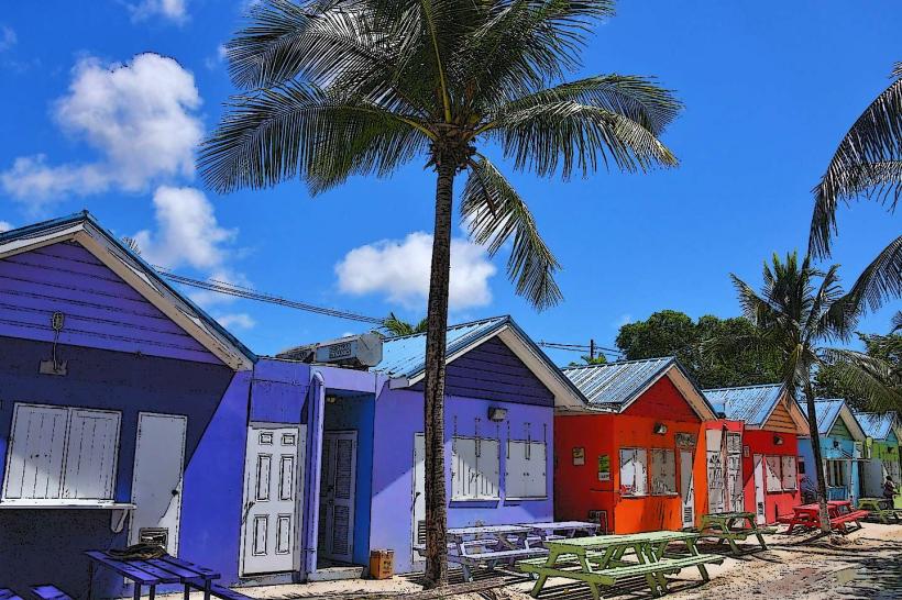
Restrooms and changing facilities are present. Several food vendors operate from stalls near the parking area, offering local snacks and beverages. Cell phone signal (4G/5G) is generally strong. Limited shaded areas are provided by natural vegetation and some picnic tables.
Best Time to Visit
For photography, early morning (07:00-09:00) offers soft, direct sunlight. Midday provides the clearest water visibility for underwater observation. The months of December through May generally offer the driest weather conditions with lower humidity.
Facts & Legends
Local lore suggests that the beach was named "Miami Beach" by early American visitors who found it reminiscent of beaches in Miami, Florida. A specific point on the western end is known locally as "Big Rock," a large submerged rock formation popular with local fishermen.
Nearby Landmarks
- Oistins Fish Fry (0.8km East)
- Christ Church Parish Church (1.2km North)
- Maxwell Beach (2.5km West)
- South Point Lighthouse (3.1km Southwest)