Information
Landmark: Friendship BayCity: Bequia
Country: Saint Vincent and the Grenadines
Continent: North America
Friendship Bay, Bequia, Saint Vincent and the Grenadines, North America
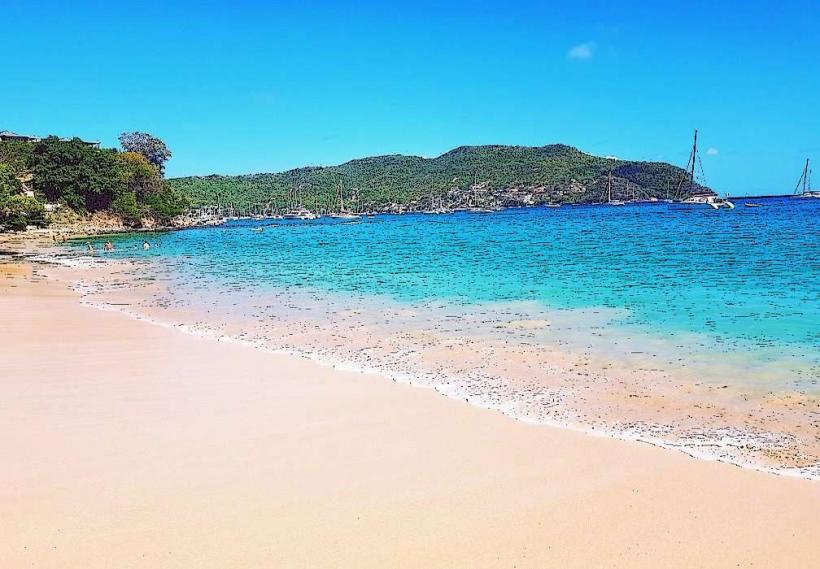
Friendship Bay is a crescent-shaped bay located on the southern coast of Bequia, the largest island in the Grenadines, Saint Vincent and the Grenadines.
Visual Characteristics
The bay features a 1.5 kilometer stretch of light tan, fine-grained sand. The water exhibits a gradient of blues, from pale turquoise near the shore to a deeper sapphire further out. The bay is bordered by low, green hills covered in tropical vegetation, including palm trees and flowering shrubs. The seabed is predominantly sandy with scattered coral formations.
Location & Access Logistics
Friendship Bay is situated approximately 3 kilometers south of Port Elizabeth, the main settlement on Bequia. Access is via Friendship Bay Road, a paved public road. Parking is available along the roadside adjacent to the beach. Public transportation is limited; local minibuses operate on the main road but do not directly service the bay itself. The nearest ferry terminal is in Port Elizabeth.
Historical & Ecological Origin
Friendship Bay is a natural geological formation, a coastal embayment shaped by marine erosion and sedimentation over millennia. Ecologically, it functions as a shallow marine habitat supporting a variety of reef fish and invertebrates within its coral patches.
Key Highlights & Activities
Swimming is possible in the calm waters. Snorkeling can be done around the coral formations. Kayak and paddleboard rentals are available from vendors located on the beach during peak season. Sunbathing on the sand is a primary activity.
Infrastructure & Amenities
There are no permanent restroom facilities directly on the beach. Shade is provided by scattered palm trees. Cell phone signal (4G) is generally available. A small number of beach bars and informal food vendors operate seasonally, offering local dishes and drinks.
Best Time to Visit
The best time of day for photography is generally between 9:00 AM and 11:00 AM for soft, direct sunlight. The dry season, from December to May, offers the most favorable weather conditions with lower humidity and minimal rainfall. High tide is preferable for swimming and water activities due to deeper water levels.
Facts & Legends
Local lore suggests that the bay was named by a visiting ship captain who found the waters exceptionally calm and the local inhabitants welcoming, deeming it a place of "friendship."
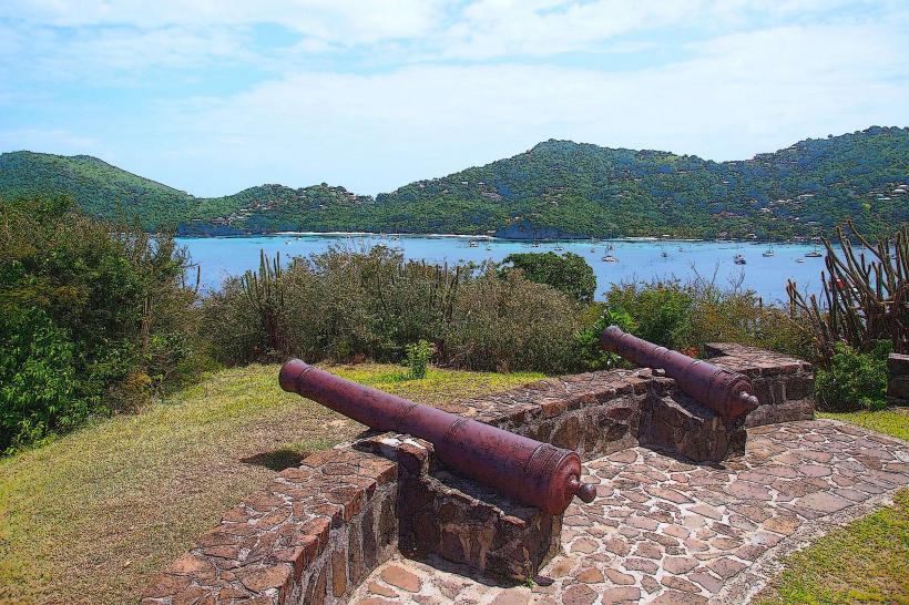
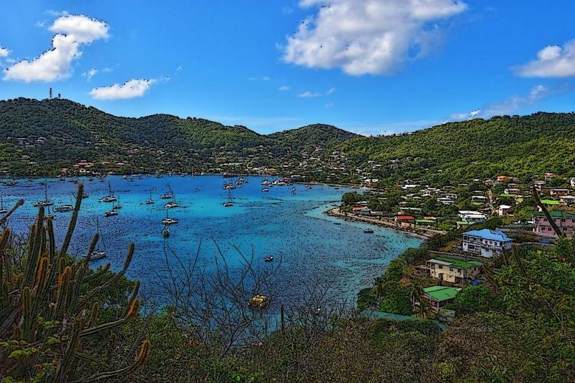
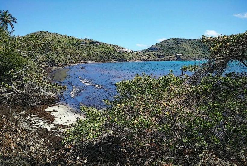
Nearby Landmarks
- Admiralty Bay (2.5km Northwest)
- Lower Bay (1.8km West)
- Princess Margaret Beach (2.0km West)
- Mount Pleasant (3.0km Northeast)