Information
Landmark: Port Elizabeth HarborCity: Bequia
Country: Saint Vincent and the Grenadines
Continent: North America
Port Elizabeth Harbor, Bequia, Saint Vincent and the Grenadines, North America
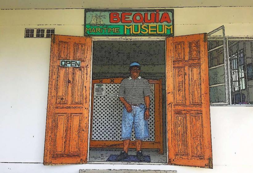
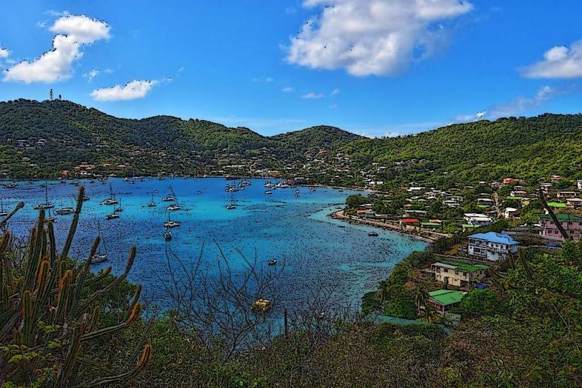
Port Elizabeth Harbor is the primary port and commercial center of Bequia, located on the island's southern coast.
It serves as the main entry point for ferries and cargo vessels, facilitating trade and tourism for the island.
Visual Characteristics
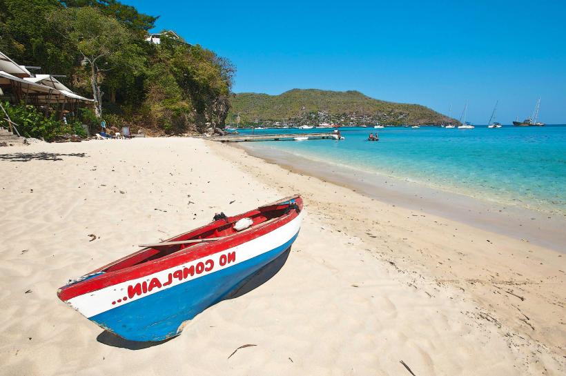
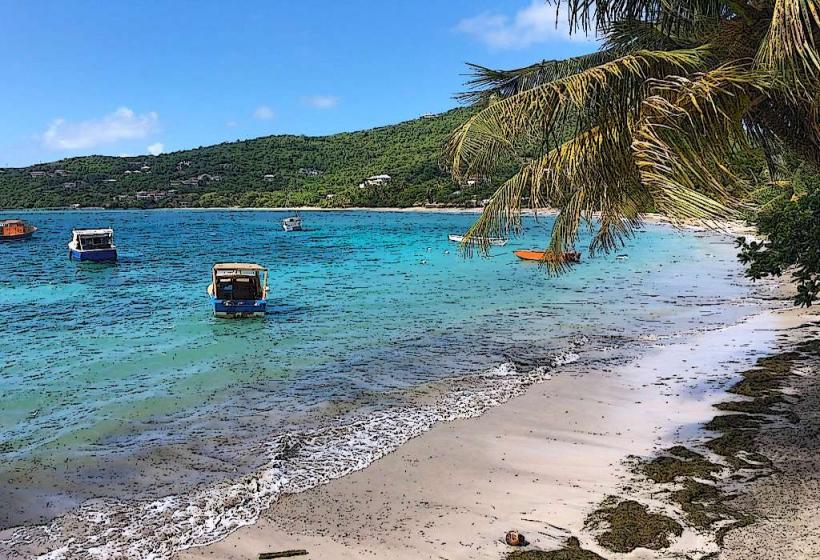
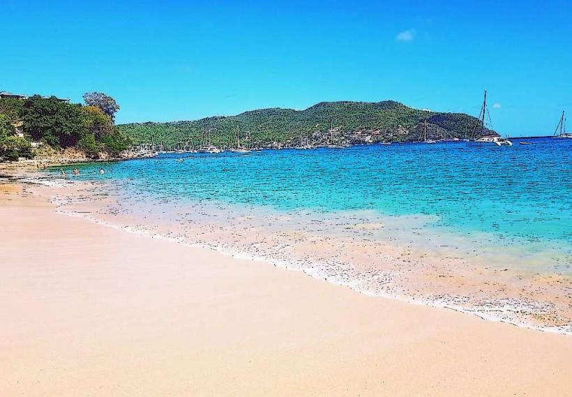
The harbor is a crescent-shaped bay with a sandy bottom, approximately 10 meters deep in the center. The shoreline is lined with concrete docks and jetties, supporting a collection of low-rise buildings constructed from concrete and painted in various pastel colors. These structures house shops, restaurants, and administrative offices. The water within the harbor is typically clear, with a turquoise hue.
Location & Access Logistics
Port Elizabeth Harbor is situated on the southern coast of Bequia. It is directly accessible from the main road, Princess Margaret Drive. The distance from the island's interior is minimal, with most points on Bequia reachable within a 15-minute drive. Parking is available along the waterfront, though it can be limited during peak ferry arrival times. Public transport is primarily via local minibuses that run along the coastal road, with stops directly at the harbor.
Historical & Ecological Origin
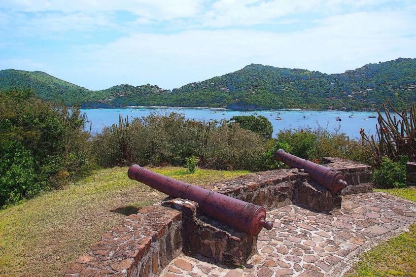
The harbor's development as a commercial and transportation hub began in the early 20th century, evolving from a natural anchorage used by local fishermen. Its current infrastructure, including the concrete docks, was largely established in the latter half of the 20th century to accommodate increased inter-island ferry traffic and cargo handling. Ecologically, the harbor is a natural bay, protected by a shallow reef system to the south.
Key Highlights & Activities
Ferry departures and arrivals for St. Vincent and other Grenadine islands. Observation of local fishing boat activity. Access to waterfront shops and restaurants. Swimming is possible in designated areas away from active boat traffic.
Infrastructure & Amenities
Restrooms are available at the ferry terminal building. Shade is provided by awnings over some shops and restaurants. Cell phone signal (4G) is generally consistent within the harbor area. Food vendors and small restaurants are located directly on the waterfront.
Best Time to Visit
For photography, early morning (07:00-09:00) offers softer light and less activity. Mid-morning (09:00-11:00) is optimal for observing ferry operations. The months of December through April generally provide the driest weather conditions.
Facts & Legends
Port Elizabeth Harbor is one of the few harbors in the Grenadines that can accommodate larger inter-island ferries, making it a critical logistical point for the archipelago. A local anecdote suggests that the harbor's calm waters were once favored by pirates for minor repairs and resupply.
Nearby Landmarks
- Princess Margaret Beach (0.8km West)
- Lower Bay Beach (1.2km Southwest)
- Admiralty Bay (0.2km North)
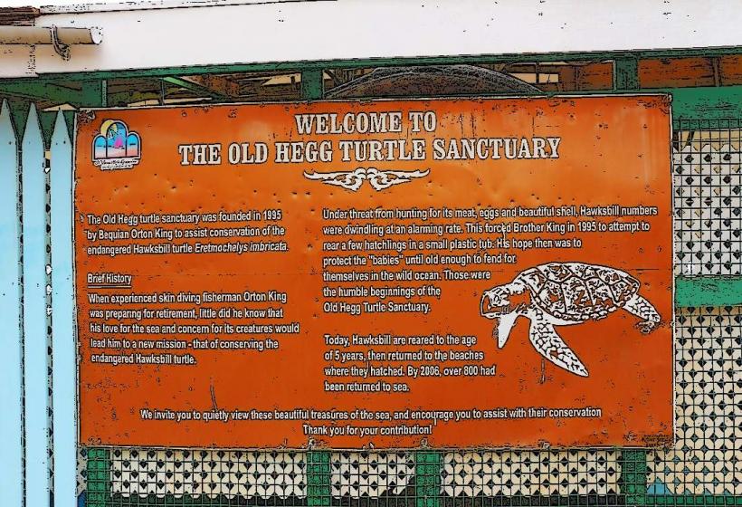
- Old Hegg Turtle Sanctuary (1.5km Northwest)