Information
Landmark: Globocak ForestCity: Skocjan
Country: Slovenia
Continent: Europe
Globocak Forest, Skocjan, Slovenia, Europe
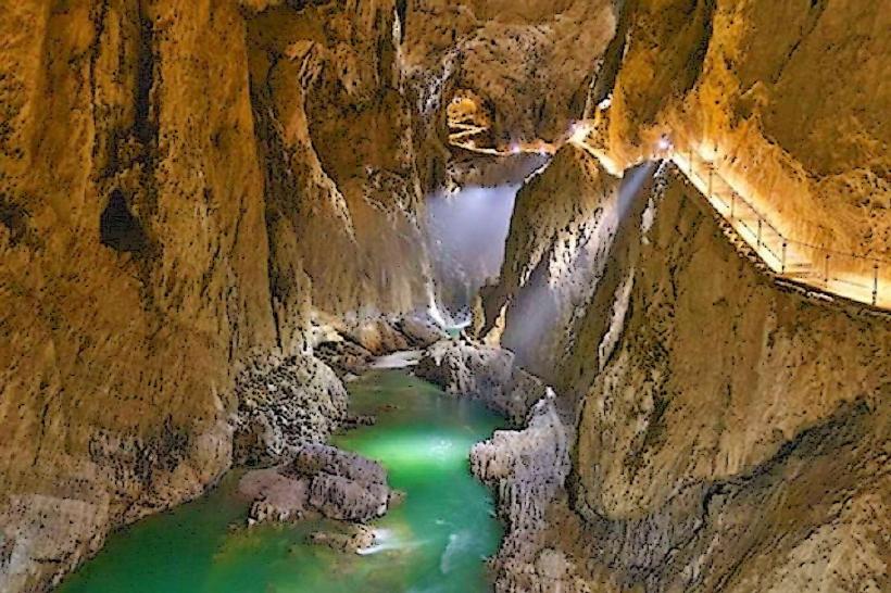
Globočak is a forested peak and a historical World War I site located in the Kanalski Kolovrat mountain range in western Slovenia, overlooking the Soča Valley. While it is a distinct landmark, it is geographically separate from the Škocjan Caves region, situated approximately 45km to the north.
Visual Characteristics
The landmark is a 809-meter-high peak covered in a dense temperate forest consisting primarily of beech and pine. The summit is characterized by a network of preserved military infrastructure, including stone-lined trenches, concrete water collectors, and subterranean caverns (kaverne) carved directly into the limestone. Due to the density of the tree canopy, panoramic views from the actual summit are partially obscured, though specific clearings provide vistas toward the Julian Alps and the Friuli plains in Italy.
Location & Access Logistics
The forest is located above the village of Kambreško, approximately 20km north of Nova Gorica.
By Car: Reachable via the regional road from Kanal ob Soči toward Kambreško. Parking is available near the monument in the village center.
Hiking Routes: A circular mountain trail connects the villages of Kambreško and Srednje. The ascent from Kambreško takes roughly 45 minutes on a marked forest track.
Public Transport: Limited; the nearest major bus and train links are located in Kanal ob Soči, requiring private transport or a significant uphill hike to reach the trailhead.
Historical & Ecological Origin
During World War I (1915–1917), Globočak served as a critical fortified observation post for the Italian Army along the Isonzo Front. Its strategic elevation allowed for the monitoring of Austro-Hungarian movements across the Soča River and the Banjšice Plateau. Ecologically, the forest is part of the Pre-Alpine mountain system, characterized by high biodiversity and the presence of karst phenomena such as small sinkholes and limestone outcrops.
Key Highlights & Activities
Visitors primarily engage in historical hiking along the "Walk of Peace" (Pot miru). Key actions include exploring the remains of Italian military fortifications, visiting the Lukčeva hiša ethnological collection in Kambreško, and trekking to the Savinka Waterfall located on the southern slopes. The summit features a registration box with a stamp for mountain hikers.
Infrastructure & Amenities
Infrastructure on the mountain is minimal, consisting of marked trails and wooden benches at viewpoints. There are no restrooms or food vendors on the peak; these services are available in the village of Kambreško or Kanal ob Soči. Mobile signal (4G) is generally available on the ridge but can be intermittent in deep forest gullies. There is no shade-less area at the summit due to the forest cover.
Best Time to Visit
The best time for hiking is from April to October when the trails are clear of snow and ice. Late autumn (October–November) offers the clearest atmospheric conditions for long-distance photography toward the Adriatic Sea. Winter visits are possible but require trekking poles and waterproof footwear due to frequent mud or snow on the steep northern slopes.
Facts & Legends
A unique historical oddity of Globočak is its sophisticated World War I water collection system; the Italian engineers constructed large concrete basins to catch rainwater, which was vital for sustaining hundreds of soldiers on the arid ridge. Local lore from the Soča Valley often mentions "The White Lady of Globočak," a ghost figure said to haunt the trenches, likely a personification of the morning mists that frequently settle in the mountain's caverns.
Nearby Landmarks
Savinka Waterfall: 1.5km South
Church of the Holy Trinity (Srednje): 1.2km East
Solkan Bridge: 18.0km South
Mount Sabotin: 15.0km South
Kanal ob Soči Bridge: 5.5km Southeast