Information
Landmark: Goldstream Provincial ParkCity: Victoria
Country: Canada
Continent: North America
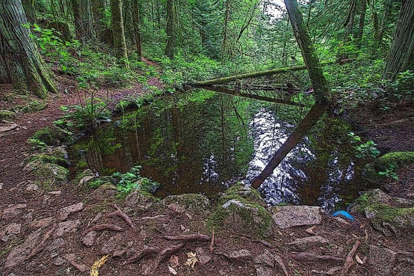
Goldstream Provincial Park, Victoria, Canada, North America
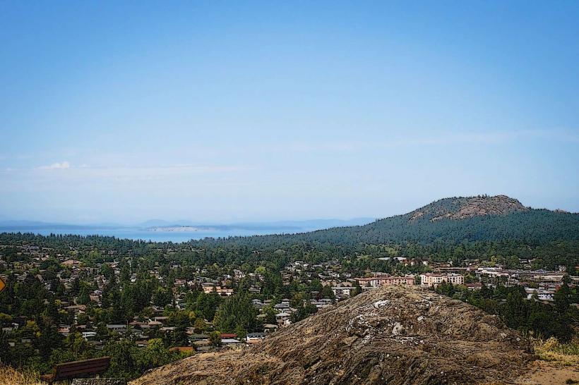
Goldstream Provincial Park is a protected area located 16 kilometers north of Victoria, British Columbia, Canada.
It encompasses a significant portion of the Goldstream River watershed, featuring old-growth temperate rainforest and a vital salmon spawning stream.
Visual Characteristics
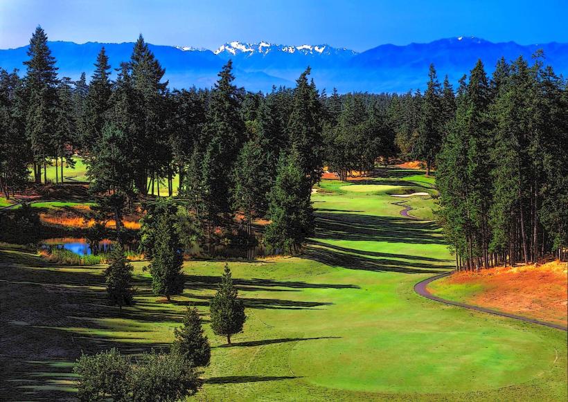
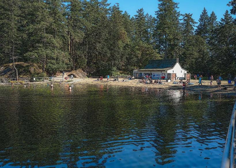
The park's dominant feature is its old-growth temperate rainforest, characterized by towering Douglas fir, Western red cedar, and Bigleaf maple trees. The forest floor is dense with ferns, mosses, and salal. The Goldstream River runs through the park, its water color varying from clear to a milky grey during salmon runs. Rock formations are primarily sedimentary, with evidence of glacial action visible in some areas. The park's elevation ranges from near sea level to approximately 300 meters.
Location & Access Logistics
Goldstream Provincial Park is situated off the Trans-Canada Highway (Highway 1). It is approximately 16 kilometers from downtown Victoria. Access is directly from the highway via the Goldstream Park Road exit. Ample parking is available in designated lots within the park. Public transport options include BC Transit bus route 50, which stops at the park entrance on the Trans-Canada Highway.
Historical & Ecological Origin
The park was established to protect the Goldstream River watershed and its significant salmon populations, particularly the Chum salmon run. The area's ecological significance lies in its representation of coastal old-growth temperate rainforest. Historically, the area was utilized by Indigenous peoples for millennia. The Goldstream River was also a focus of gold prospecting in the late 19th century, though large-scale mining did not materialize.
Key Highlights & Activities
Activities include hiking on marked trails such as the Goldstream Nature Trail (1.5 km loop) and the longer Goldstream Heights Trail (8 km loop). Salmon viewing is a primary activity during the fall spawning season (October to December). Photography of the old-growth forest and river is possible. Picnicking is permitted in designated areas.
Infrastructure & Amenities
Restrooms are available at the main day-use area. Shaded areas are abundant due to the dense forest canopy. Cell phone signal (4G/5G) is generally available within the park, though it can be intermittent in deeper forest sections. There are no food vendors within the park; visitors should bring their own provisions.
Best Time to Visit
For salmon viewing, the best months are October through December. The best time of day for forest photography is generally mid-morning or late afternoon when sunlight filters through the canopy. The park is accessible year-round, but trail conditions can be wet and slippery during the winter months.
Facts & Legends
A notable historical oddity is the "Old Growth Big Tree," a massive Douglas fir estimated to be over 300 years old and standing 60 meters tall, located near the main trail. During the fall salmon run, the river can become so densely populated with fish that it appears to change color.
Nearby Landmarks
- Baden-Powell Trailhead (0.8km Northwest)
- Malahat Summit Viewpoint (4.5km North)
- East Sooke Regional Park (12km Southwest)
- The Butchart Gardens (15km Southeast)
- Fort Rodd Hill National Historic Site (16km Southeast)