Information
Landmark: Grau Roig Glacial CirqueCity: Pas de la Casa
Country: Andorra
Continent: Europe
Grau Roig Glacial Cirque, Pas de la Casa, Andorra, Europe
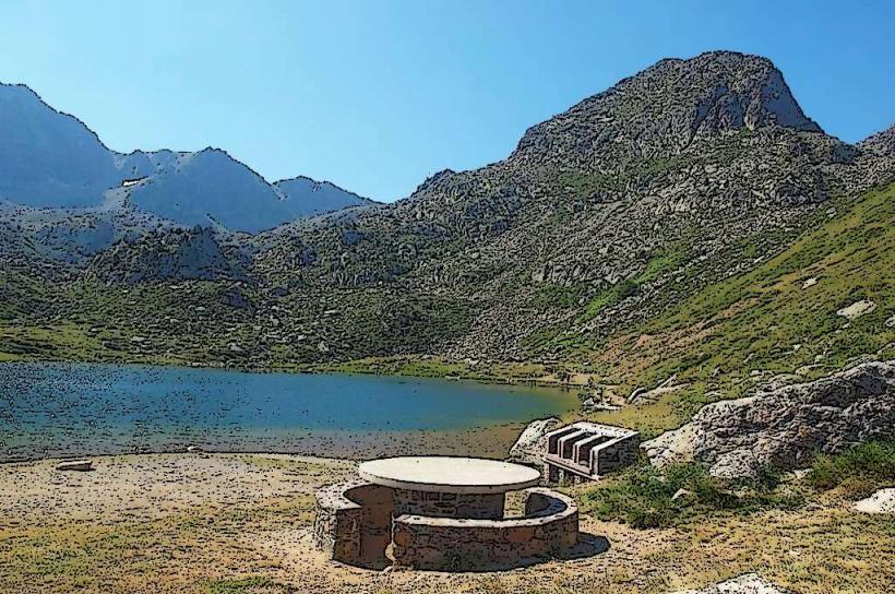
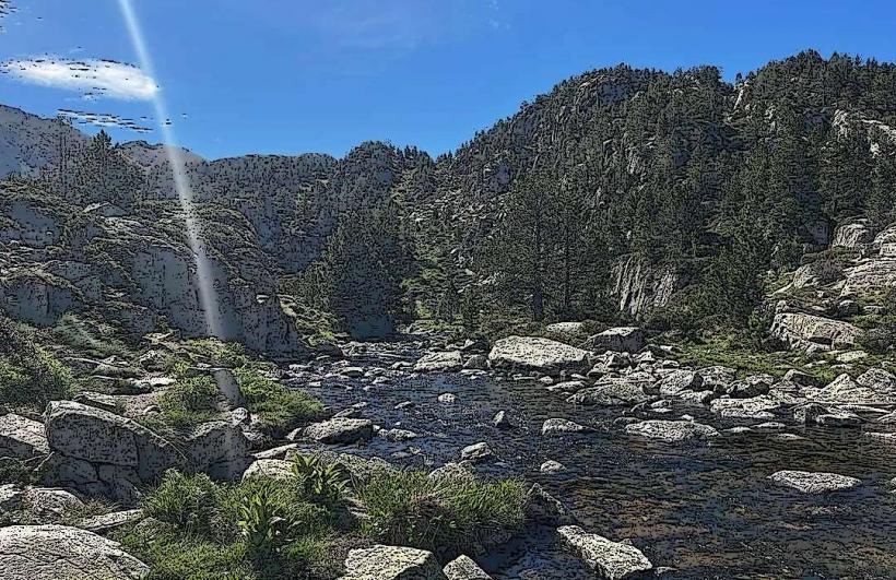
The Grau Roig Glacial Cirque is a natural amphitheater shaped by glacial erosion, situated in the eastern Pyrenees within the parish of Encamp, near Pas de la Casa, Andorra.
Visual Characteristics
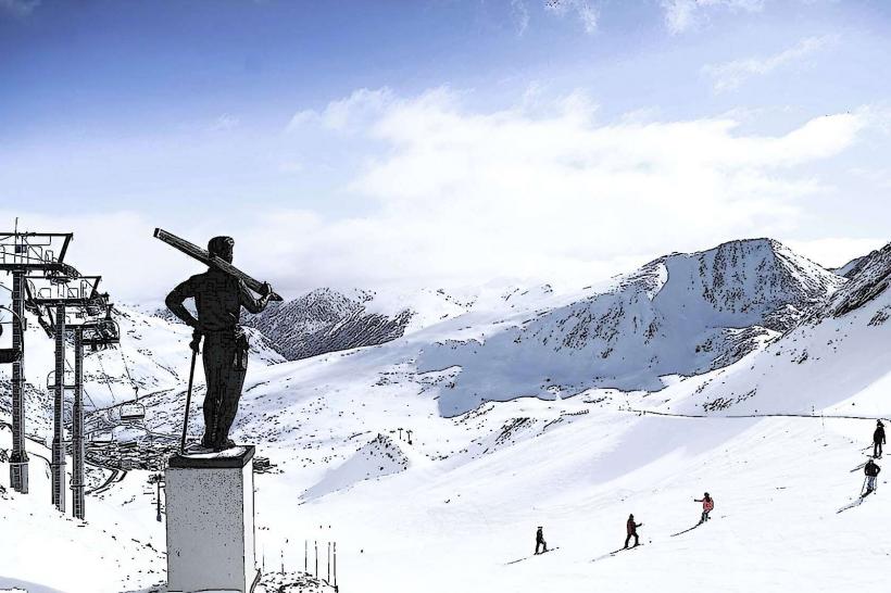
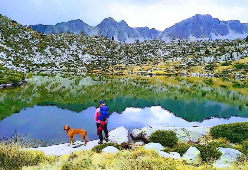
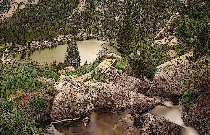
The cirque features a distinct U-shaped valley with steep, rocky walls composed primarily of granite and schist. Its floor contains several small glacial lakes, including Estany Primer and Estany de les Fonts, which reflect a clear, dark blue hue. During winter, the landscape is dominated by snow and ice, while in summer, alpine meadows with sparse vegetation, including rhododendrons and various grasses, cover the lower slopes. The cirque walls rise to elevations exceeding 2,600 meters, presenting a rugged, exposed rock face.
Location & Access Logistics
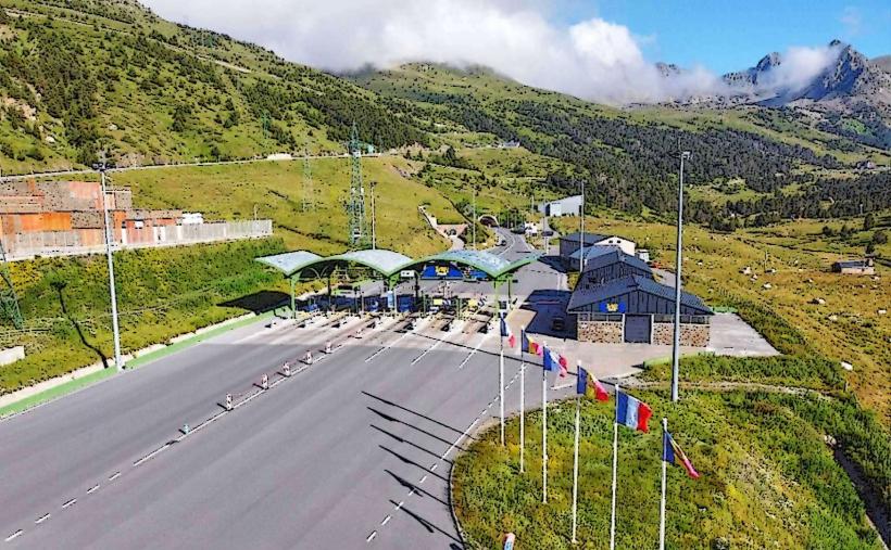
The Grau Roig Glacial Cirque is located approximately 3 kilometers west of Pas de la Casa. Access is primarily via the CS-280 road, which branches off the CG-2 highway. A large parking area is available at the Grau Roig ski resort base, from which marked hiking trails lead into the cirque. Public transport options include bus services (e.g., L4) from Andorra la Vella to Pas de la Casa, with a subsequent taxi or walk to the ski resort access point.
Historical & Ecological Origin
The Grau Roig Glacial Cirque is a geomorphological feature formed during the Quaternary glaciations, specifically the Pleistocene epoch. It represents a classic example of glacial erosion, where a valley glacier carved out the characteristic amphitheater shape, leaving behind steep headwalls and a deepened basin. The numerous small lakes within the cirque are tarns, formed in depressions scoured by glacial ice or dammed by morainic deposits.
Key Highlights & Activities
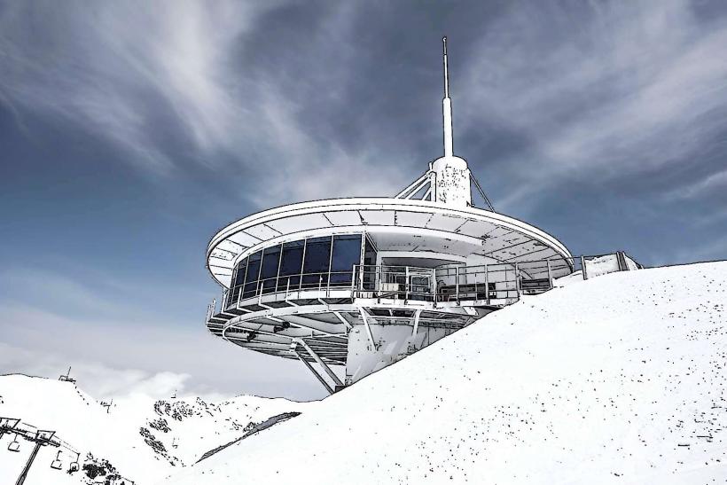
Hiking is a primary activity, with trails leading to Estany Primer and other high-altitude lakes. During winter, the area is integrated into the Grandvalira ski domain, offering alpine skiing and snowboarding opportunities. Snowshoeing is also possible on designated routes. Photography of the glacial landscape and alpine flora is popular, particularly during summer and autumn.
Infrastructure & Amenities
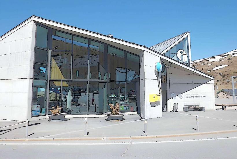
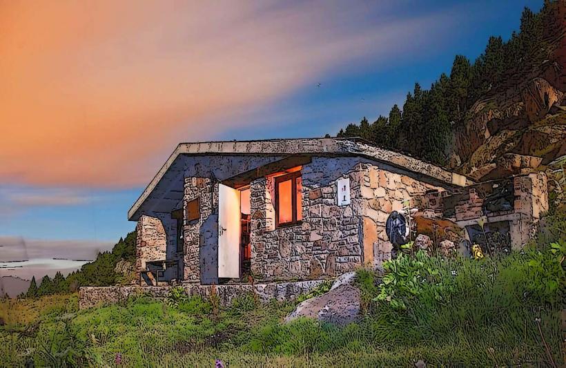
Restroom facilities are available at the base of the Grau Roig ski resort, approximately 1-2 kilometers from the cirque's interior. Natural shade is provided by rock formations and sparse tree cover at lower elevations. Cell phone signal (4G/5G) is generally available but can be intermittent in deeper sections of the cirque. Food vendors and restaurants are located at the Grau Roig ski resort base.
Best Time to Visit
For hiking and exploring the glacial lakes, the best time to visit is from late June to early October, when snow has largely melted and trails are accessible. For winter sports, December to April offers optimal snow conditions. Early morning provides the best light for photography, particularly for capturing reflections in the lakes and minimizing harsh shadows on the cirque walls.
Facts & Legends
The name Grau Roig translates to "Red Step" or "Red Grade," likely referring to the reddish hues of some rock formations visible within the cirque, especially during sunrise or sunset. The cirque is a critical habitat for various alpine species, including marmots and chamois, which can occasionally be observed on the higher slopes.
Nearby Landmarks
- Grandvalira Ski Resort (Grau Roig Sector): 0.5km East
- Estany Primer: 1.5km West
- Pic de Montmalús: 3km Southwest
- Pas de la Casa: 3km East
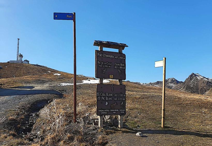
- Port d'Envalira: 4km Northwest