Information
Landmark: Pic Blanc of EnvaliraCity: Pas de la Casa
Country: Andorra
Continent: Europe
Pic Blanc of Envalira, Pas de la Casa, Andorra, Europe
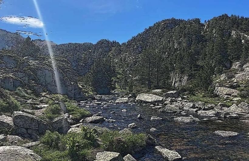
Pic Blanc of Envalira is a mountain peak situated in the eastern Pyrenees, forming part of the natural border between Andorra and France, directly overlooking the town of Pas de la Casa.
Visual Characteristics
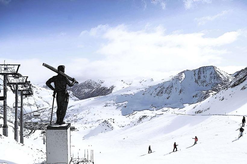
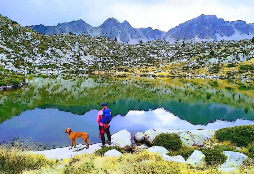
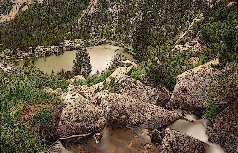
The peak reaches an elevation of 2,540 meters above sea level. Its composition primarily consists of granite and schist rock formations, characteristic of the Pyrenean range. The upper slopes are largely barren, featuring exposed rock and scree. Lower elevations exhibit sparse alpine vegetation, including grasses and low-lying shrubs. During winter months, the peak is consistently covered in snow, often persisting into late spring.
Location & Access Logistics
Pic Blanc of Envalira is located immediately northeast of Pas de la Casa. Access to the general area is via the CG-2 road, which connects Andorra la Vella to the French border. From Pas de la Casa, several hiking trails ascend towards the peak. Parking is available within Pas de la Casa, particularly near the base of the ski lifts or public parking areas. There are no direct public transport routes to the peak itself; access requires hiking from the town or nearby ski resort facilities.
Historical & Ecological Origin
The peak's origin is geological, formed during the Alpine orogeny approximately 60 to 10 million years ago, as the African and Eurasian tectonic plates collided. It is composed of ancient crystalline rocks, primarily granite, which were uplifted and subsequently sculpted by glacial erosion during the Quaternary period. The surrounding ecosystem is classified as alpine, characterized by flora and fauna adapted to high-altitude, harsh conditions.
Key Highlights & Activities
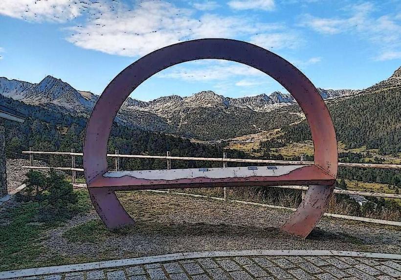
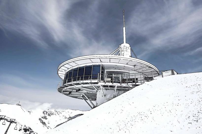
Hiking to the summit offers panoramic views of the surrounding Pyrenees, including the French side and the Grandvalira ski domain. During winter, the peak is accessible to experienced ski tourers and snowshoers, though avalanche risk must be assessed. Photography of the high-mountain landscape is a primary activity. The peak serves as a demarcation point for the border.
Infrastructure & Amenities
There are no permanent structures, restrooms, or designated shade areas directly on Pic Blanc of Envalira. Cell phone signal (4G/5G) can be intermittent at the summit, depending on network coverage. Food vendors and other amenities are available in the nearby town of Pas de la Casa, approximately 2-3 kilometers from the base of the ascent trails.
Best Time to Visit
For hiking, the best time to visit is from late June to early October, when snow cover is minimal and trails are clear. Early morning visits are recommended for clearer views and to avoid afternoon thunderstorms common in summer. For winter activities, January to March offers the most consistent snow conditions, but requires appropriate gear and avalanche awareness. Photography is optimal during sunrise or sunset for dramatic lighting, though the peak's exposure means good light is often available throughout the day.
Facts & Legends
The peak's name, "Blanc," refers to its often snow-covered appearance. It is a prominent feature visible from Pas de la Casa and serves as a natural boundary marker. A verified historical oddity is its role in smuggling routes between Andorra and France, particularly during periods of economic disparity or conflict, due to its strategic border location.
Nearby Landmarks
- Pas de la Casa: 2km Southwest
- Port d'Envalira: 4km West
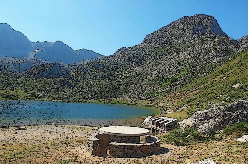
- Estany de les Abelletes: 1.5km South
- Grandvalira Ski Resort (Pas de la Casa sector): 1km South