Information
Landmark: Pas de la Casa Mountain TrailsCity: Pas de la Casa
Country: Andorra
Continent: Europe
Pas de la Casa Mountain Trails, Pas de la Casa, Andorra, Europe
The Pas de la Casa Mountain Trails comprise a network of hiking and trekking routes situated in the high Pyrenees mountains, directly accessible from the town of Pas de la Casa, Andorra.
Visual Characteristics
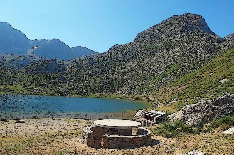
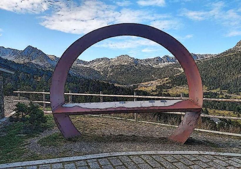
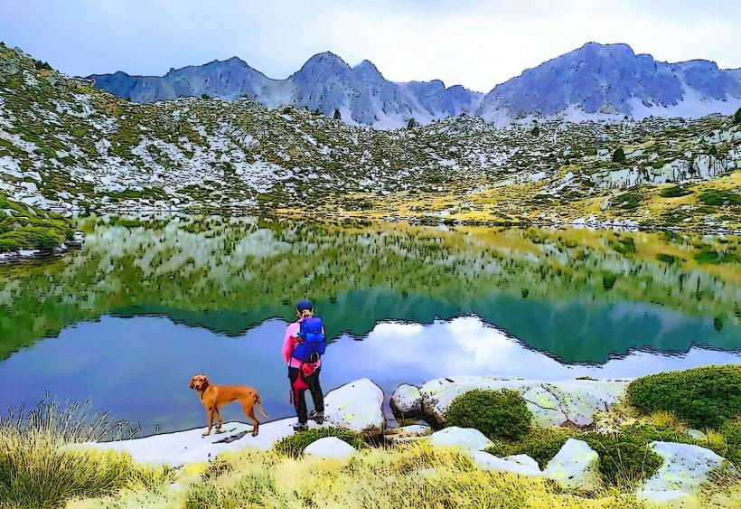
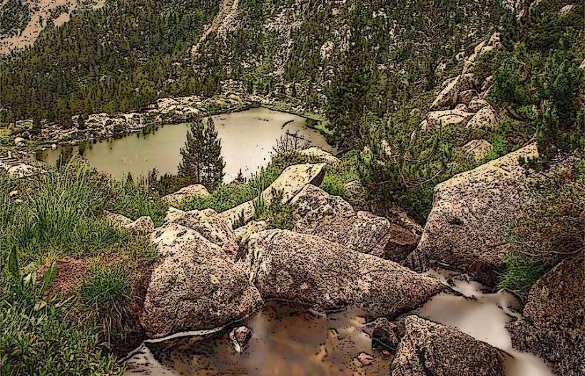
The landscape is characterized by a high-altitude alpine environment. Terrain consists of rocky outcrops, scree slopes, and glacial valleys. Vegetation is sparse, primarily composed of alpine grasses, low shrubs, and mosses, with scattered pine forests at lower elevations. Water features include clear mountain streams and high-altitude lakes such as Estany de les Abelletes. Trail surfaces vary from compacted dirt paths to uneven rocky sections.
Location & Access Logistics
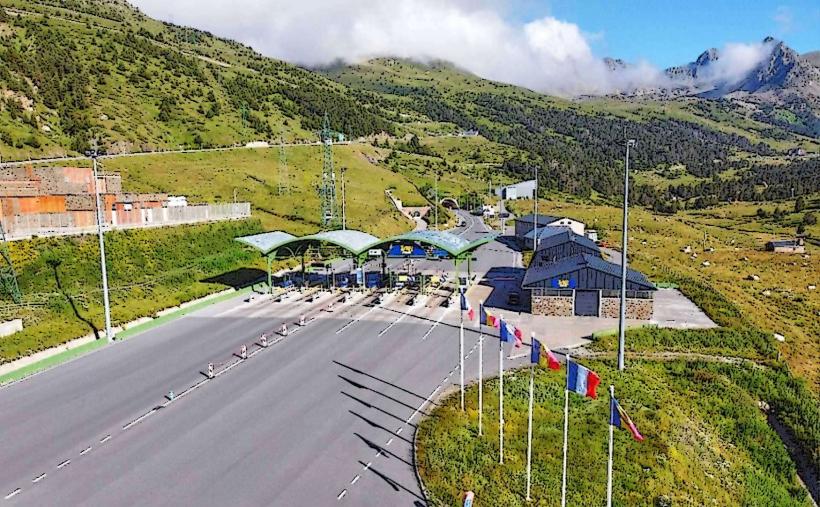
The trails are directly accessible from the town of Pas de la Casa, which is located on the eastern border of Andorra with France. Access to Pas de la Casa is primarily via the CG-2 national road from Andorra la Vella, approximately 30 kilometers west, or via the N22 from France. Public parking garages are available throughout Pas de la Casa. The L4 public bus line connects Pas de la Casa with Andorra la Vella and other major Andorran towns.
Historical & Ecological Origin
The area's ecology is classified as a high-altitude Pyrenean alpine and subalpine ecosystem. Geological formations are predominantly granite and schist, shaped by ancient glacial activity, resulting in characteristic U-shaped valleys and cirques. Many trails follow historical shepherd paths or natural contours of the terrain.
Key Highlights & Activities
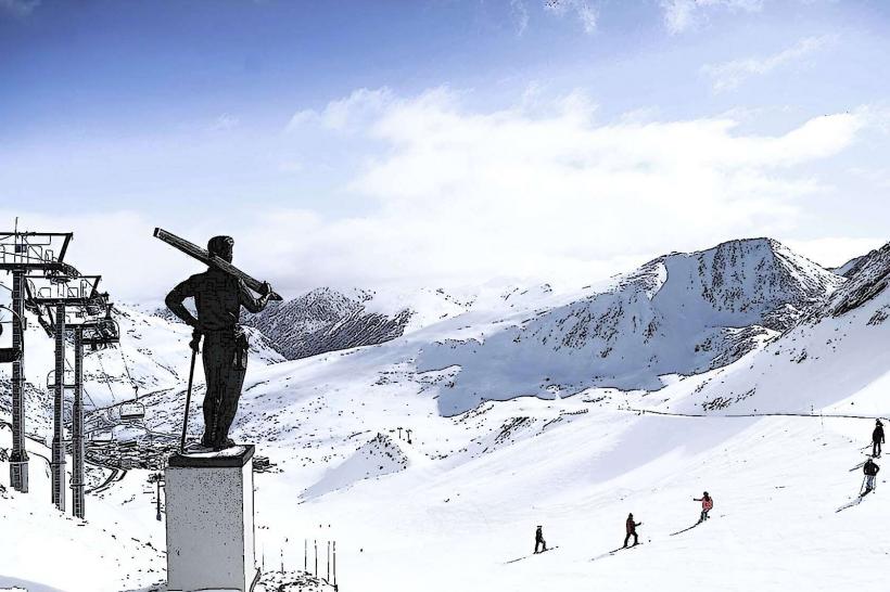
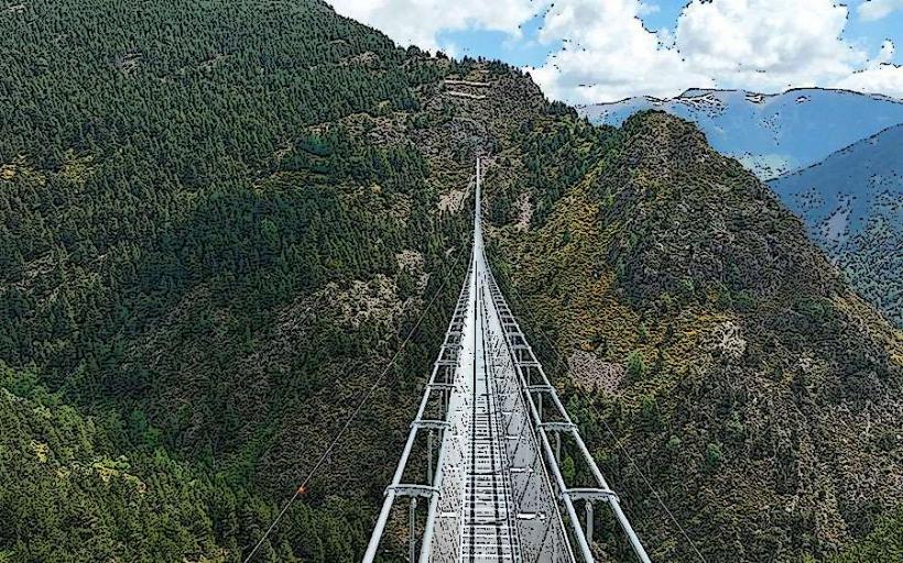
Key activities include hiking to Estany de les Abelletes, a high-altitude lake situated on the French border, and ascents towards prominent peaks such as Pic Blanc or Pic d'Envalira. Sections of the long-distance GR 7 hiking route are accessible from the area. During winter, the trails are utilized for snowshoeing.
Infrastructure & Amenities
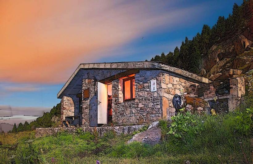
Restroom facilities are available within the town of Pas de la Casa, but are not present directly on the mountain trails. Shade is limited, particularly at higher elevations. Cell phone signal (4G/5G) is generally reliable in and around Pas de la Casa, though it can become intermittent on more remote or higher sections of the trails. Food vendors and restaurants are located within the town of Pas de la Casa; no provisions are available directly on the trails.
Best Time to Visit
The optimal period for hiking is from June to September, when trails are typically free of snow. The best time of day for photography and cooler temperatures is the morning. Visitors should be aware of the potential for afternoon thunderstorms during the summer months.
Facts & Legends
Pas de la Casa is situated at an elevation of approximately 2,080 meters (6,824 feet), making it the highest urban center in Andorra. Visitors are advised to carry sufficient water and protective layers due to the potential for rapid weather changes at high altitudes.
Nearby Landmarks
- Estany de les Abelletes: 0.5km East
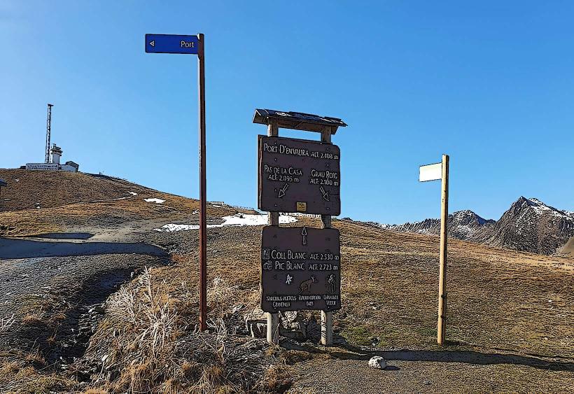
- Port d'Envalira: 3km West
- Grau Roig Ski Resort: 5km West
- Pic d'Envalira: 4km West