Information
Landmark: Great Astrolabe ReefCity: Kadavu
Country: Fiji
Continent: Australia
Great Astrolabe Reef, Kadavu, Fiji, Australia
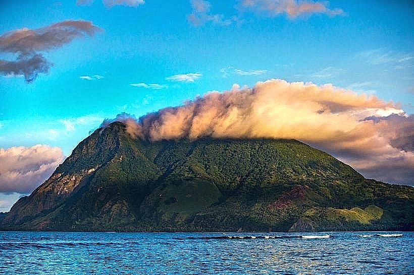
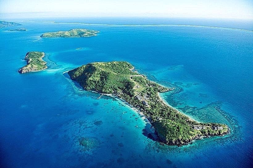
The Great Astrolabe Reef is one of the world's largest barrier reefs, extending approximately 100 kilometers along the northern and eastern coasts of the Kadavu Island group. It encloses the Ono Island cluster and creates a massive lagoon environment characterized by high marine biodiversity and significant underwater relief.
Visual Characteristics
The reef consists of a massive limestone barrier that separates the deep open ocean from a sheltered interior lagoon. It features vertical drop-offs that descend from the reef crest to depths exceeding 1,000 meters. The coral morphology includes extensive gardens of plate, staghorn, and brain corals, interspersed with large gorgonian sea fans and soft corals in shades of purple and orange. Water clarity within the lagoon typically provides visibility of 20 to 40 meters, while the outer reef edges often exceed 50 meters of visibility.
Location & Access Logistics
The reef is located 100 kilometers south of Viti Levu. Access is primarily via domestic flights from Nadi or Suva to Vunisea Airport (Kadavu), followed by boat transfers ranging from 30 to 90 minutes depending on the specific reef sector. A weekly ferry service also operates from Suva to Vunisea.1 Once on Kadavu or Ono Island, transit to the reef is conducted exclusively via resort-operated dive boats or local fiberglass longboats. There is no land-based road access to the reef perimeter.
Historical & Ecological Origin
The reef was named by French explorer Dumont d'Urville in 1827 after his ship, the Astrolabe, following a near-collision with the barrier.2 It is a coral-built structure resting on a volcanic substrate formed during the Pliocene and Pleistocene epochs. Ecologically, it is a globally significant site for pelagic species, serving as a primary feeding and cleaning station for reef manta rays (Mobula alfredi)3 and a transit corridor for humpback whales during their seasonal migration (July–October).
Key Highlights & Activities
Scuba diving is the primary activity, with notable sites including the "Screaming Reels" and the "Eagle Rock" drift dives. Snorkeling is optimal at the "Manta Reef" cleaning station near the northern tip of the reef. Deep-sea fishing for marlin, tuna, and wahoo is permitted in the open water outside the barrier. Sea kayaking is common along the inner lagoon, particularly between the islands of Ono and Dravuni. Research-based tourism, focusing on coral health monitoring and manta ray identification, is also active in the region.
Infrastructure & Amenities
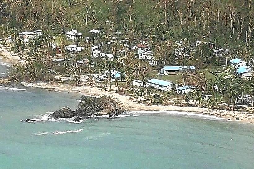
Infrastructure is extremely limited to a few isolated eco-resorts on Kadavu and Ono islands. There are no public restrooms, marinas, or food vendors on the reef itself. Electricity at nearby lodges is provided by solar-hybrid systems, and water is sourced from mountain springs or rainwater. 4G cell signal is intermittent on the water and often completely absent at the outer reef edge. Medical facilities are restricted to a small hospital in Vunisea; emergency evacuations require air transport to Suva.
Best Time to Visit
The optimal window for diving and visibility is the dry season from May to October, when trade winds are consistent and water temperatures range from 24°C to 26°C. Manta ray sightings are most frequent between May and September. Photography is best in the morning (09:00–11:00) when the sun is high enough to penetrate the deep reef walls without the surface glare of the afternoon. High tide is preferred for boat transit over the shallow reef flats within the lagoon.
Facts & Legends
A verified historical oddity is the presence of several unidentified shipwrecks along the outer barrier, remnants of the reef's reputation as a navigational hazard for early Pacific explorers. Local legend among the people of Ono suggests that the reef was created by a giant sea eel to protect the islands from the crashing waves of the deep ocean. A specific tip for visitors is to look for the "purple rain"-massive schools of purple queen anthias that congregate around the coral pinnacles at the reef's northern passages.
Nearby Landmarks
Ono Island – 2.5km West
Dravuni Island – 12.0km North
Vunisea Airport – 45.0km Southwest
Naigoro Passage – 0.5km North
Bulia Island – 5.0km South