Information
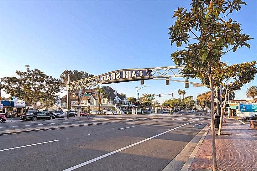
Landmark: Guadalupe Ridge Scenic RouteCity: Carlsbad
Country: USA New Mexico
Continent: North America
Guadalupe Ridge Scenic Route, Carlsbad, USA New Mexico, North America
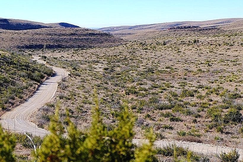
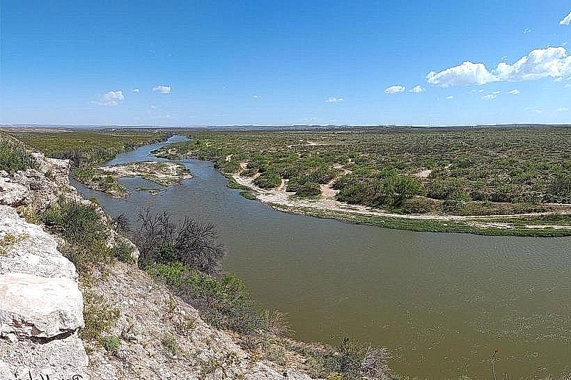
The Guadalupe Ridge Scenic Route is a designated driving path located in Carlsbad, New Mexico. It offers access to geological formations and desert landscapes.
Visual Characteristics
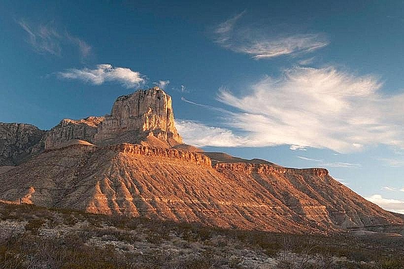
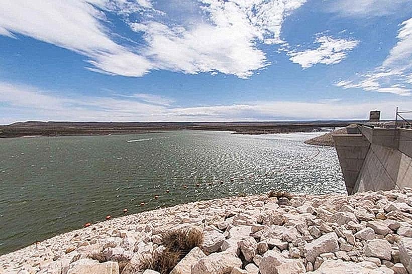
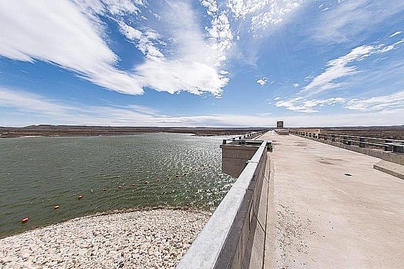
The route traverses arid desert terrain characterized by sparse vegetation, primarily consisting of creosote bush, yucca, and various cacti. The landscape features exposed sandstone formations, mesas, and arroyos. Elevation changes are moderate, with some sections offering panoramic views of the surrounding Chihuahuan Desert.
Location & Access Logistics
The Guadalupe Ridge Scenic Route begins approximately 15 miles west of Carlsbad, New Mexico, accessible via U.S. Route 62/180. Turn north onto County Road 416 (also known as Guadalupe Ridge Road). The route is unpaved for its entirety, approximately 12 miles long, and terminates at a junction with County Road 31. A high-clearance vehicle is recommended. Parking is available at designated pull-offs along the route. No public transport services this area.
Historical & Ecological Origin
The geological formations along the route are primarily composed of Permian-era sedimentary rocks, including sandstone and limestone, shaped by millions of years of erosion. The area is part of the Chihuahuan Desert ecosystem, supporting flora and fauna adapted to arid conditions.
Key Highlights & Activities
Driving the route provides opportunities for observing desert flora and fauna. Designated pull-offs allow for short walks to examine rock formations. Photography of the landscape is a primary activity. No specific marked trails are present, but off-road exploration is discouraged to preserve the environment.
Infrastructure & Amenities
There are no developed facilities along the Guadalupe Ridge Scenic Route. Restrooms, potable water, and food services are not available. Cell phone signal is intermittent to non-existent. Shade is minimal, provided only by natural rock overhangs in limited locations.
Best Time to Visit
The best time for driving the route is during the spring (March-May) and fall (September-November) months when temperatures are moderate. Mid-morning or late afternoon offers optimal lighting conditions for landscape photography due to lower sun angles. Avoid midday during summer months due to extreme heat.
Facts & Legends
Local folklore suggests that the distinctive rock formations along the route were once the homes of ancient spirits. Geologically, the area is known for its fossilized marine life, indicating that this region was once covered by a shallow sea millions of years ago.
Nearby Landmarks
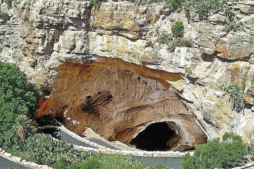
- Carlsbad Caverns National Park (25km Southeast)
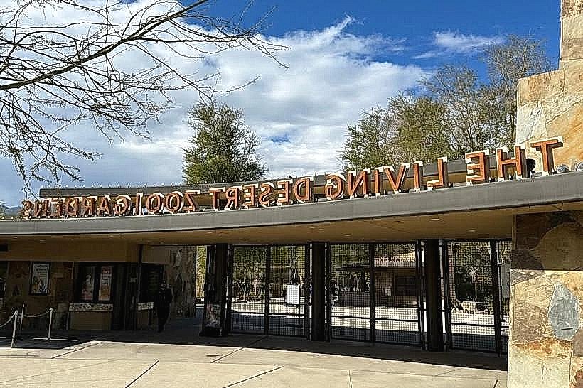
- Living Desert Zoo and Gardens State Park (18km East)
- Sitting Bull Falls (30km Southwest)
- Pecos River (15km East)