Information
Landmark: Hauraki GulfCity: Auckland
Country: New Zealand
Continent: Australia
Hauraki Gulf, Auckland, New Zealand, Australia
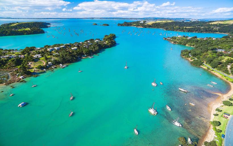
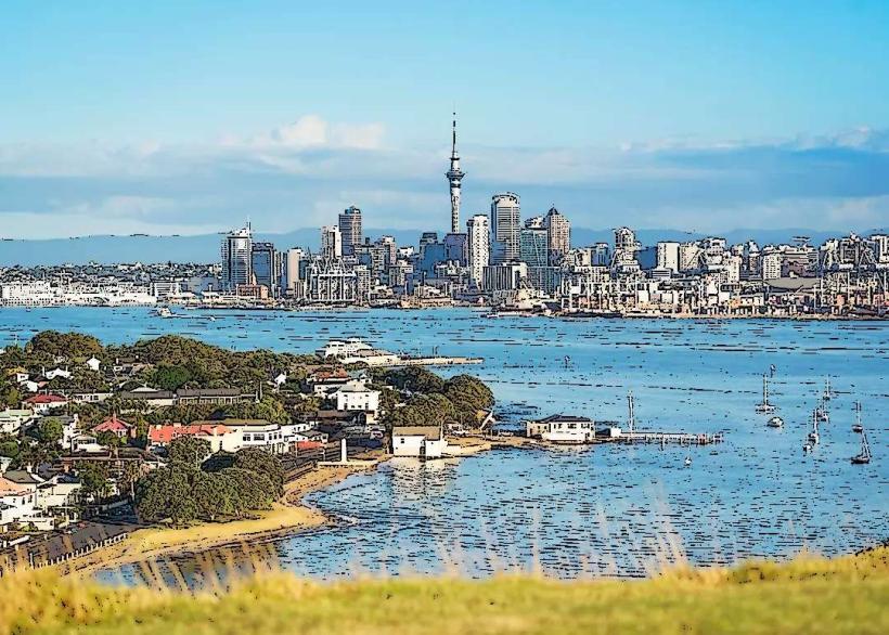
The Hauraki Gulf is a large marine embayment located off the northeast coast of New Zealand's North Island, adjacent to the city of Auckland.
It encompasses a significant body of water and numerous islands, serving as a vital ecological and recreational area.
Visual Characteristics
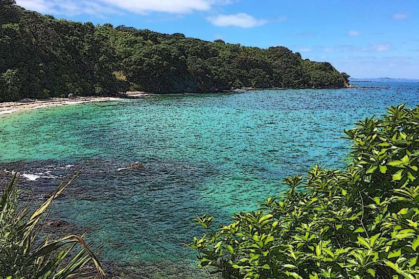
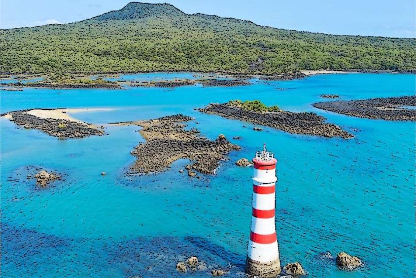
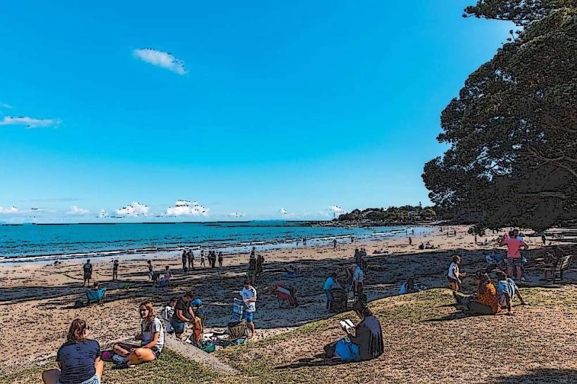
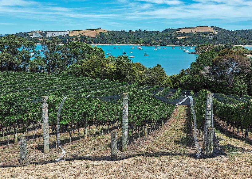
The gulf's waters range in color from deep blue in open areas to turquoise and green closer to shore and around islands, influenced by sediment and phytoplankton. The coastline features a mix of sandy beaches, rocky shores, and volcanic cliffs. Islands within the gulf exhibit varied topography, from rolling hills covered in native bush to steeper, more rugged terrain. Marine life, including dolphins and seabirds, is frequently observed.
Location & Access Logistics
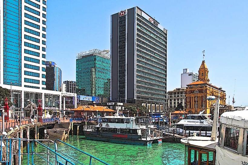
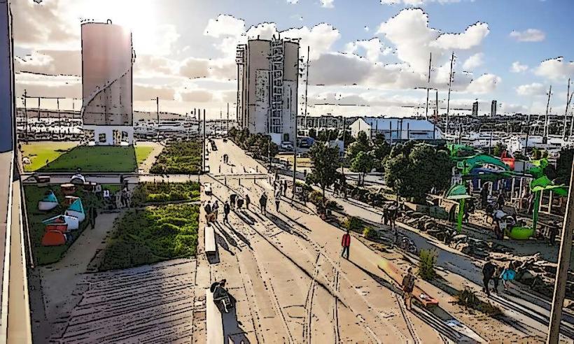
The Hauraki Gulf extends from the Coromandel Peninsula in the south to the Northland coast in the north. Access to the gulf and its islands is primarily via ferry services departing from Auckland's downtown ferry terminal. Specific ferry routes serve islands such as Waiheke Island, Rangitoto Island, and Tiritiri Matangi Island. Private boat launches are available at various marinas around Auckland, including Westhaven Marina and Viaduct Harbour. Road access to coastal viewing points and boat ramps is via State Highway 1 and local arterial roads.
Historical & Ecological Origin
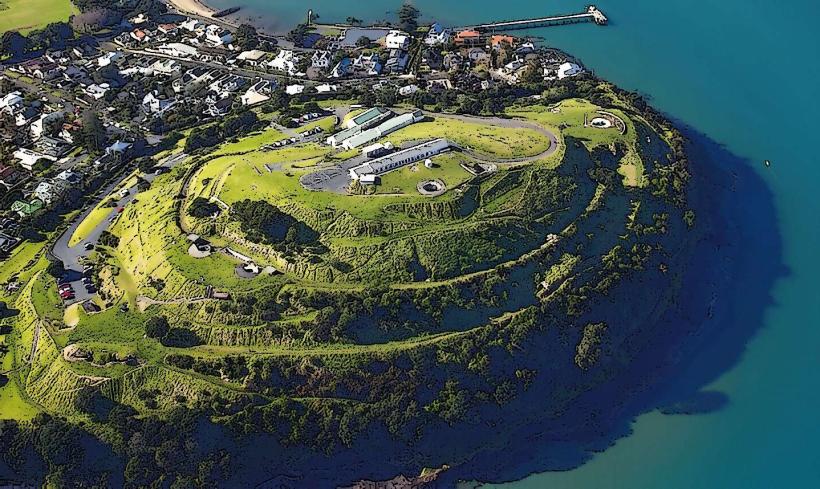
The Hauraki Gulf was formed by tectonic activity and subsequent sea-level rise after the last glacial period. The islands are largely volcanic in origin, with many, like Rangitoto, being relatively young geologically. The gulf is part of the Hauraki Gulf Marine Park, established to protect its significant natural and cultural heritage. Historically, it was a crucial area for Māori settlement and navigation, with evidence of pā sites and traditional fishing grounds.
Key Highlights & Activities
Activities include ferry travel to islands for hiking and birdwatching (Tiritiri Matangi), wine tasting and beach access (Waiheke Island), and exploring volcanic landscapes (Rangitoto). Sailing, kayaking, and fishing are common pursuits within the gulf. Wildlife viewing, particularly of dolphins, whales, and various seabird species, is a significant draw. Guided boat tours operate regularly.
Infrastructure & Amenities
Major islands like Waiheke have developed infrastructure including cafes, restaurants, and public restrooms. Smaller islands may have limited facilities, often restricted to basic picnic areas and toilets. Cell phone signal (4G/5G) is generally available in populated areas and on ferries, but can be intermittent on more remote islands. Food vendors are concentrated in ferry terminals and on larger islands.
Best Time to Visit
The best months for visiting are typically from September to April, offering warmer temperatures and calmer seas. Summer (December to February) provides the warmest weather but can be busier. For wildlife viewing, spring (September to November) and autumn (March to May) can be optimal. Specific tide times are relevant for activities like exploring tidal pools or accessing certain beaches.
Facts & Legends
A notable geological feature is Rangitoto Island, Auckland's youngest volcano, which erupted approximately 600 years ago. Local Māori legends speak of the islands being formed from the tears of a giant or the remnants of a battle between gods.
Nearby Landmarks
- Devonport (2km Northwest)
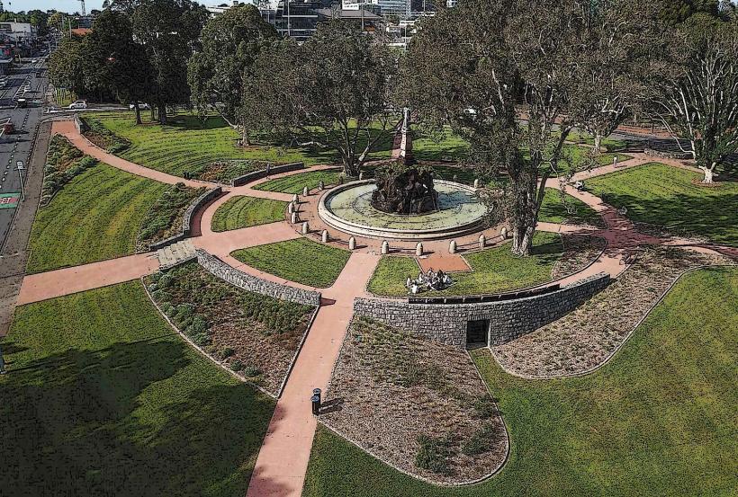
- Auckland Domain (4km Southwest)
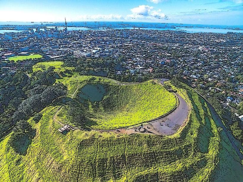
- Mount Eden (5km Southwest)
- Sky Tower (3km Southwest)
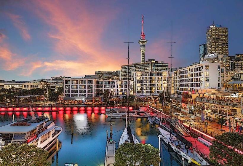
- Viaduct Harbour (2km Southwest)