Information
Landmark: Rangitoto IslandCity: Auckland
Country: New Zealand
Continent: Australia
Rangitoto Island, Auckland, New Zealand, Australia
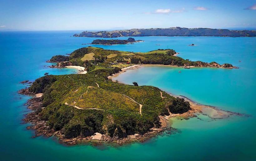
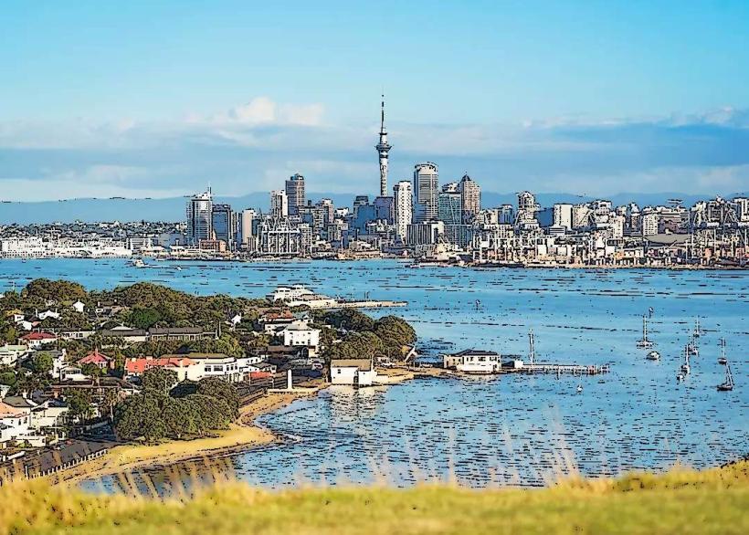
Rangitoto Island is a volcanic island located in the Hauraki Gulf, 8.7 kilometers northeast of Auckland, New Zealand. It is the youngest and largest of Auckland's volcanoes.
Visual Characteristics
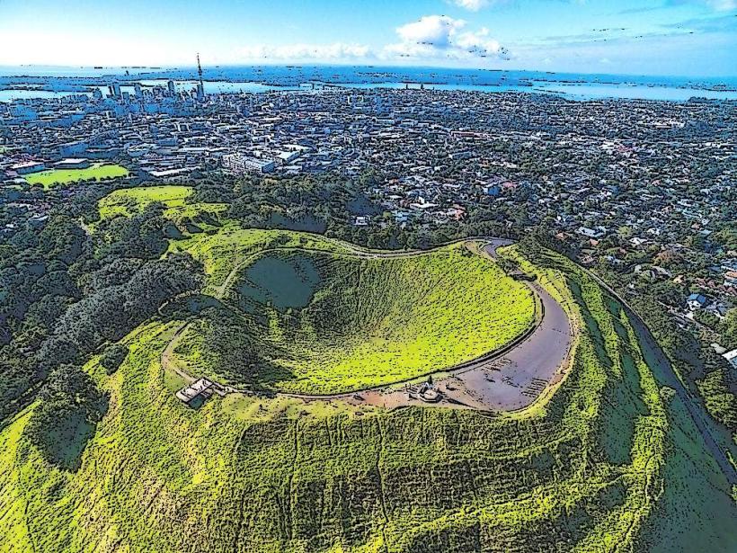
Rangitoto Island is characterized by its symmetrical cone shape, a result of its single eruption phase. The island's surface is primarily covered in dark, porous volcanic rock (scoria) and sparse, hardy vegetation, including pohutukawa trees and native grasses. The coastline features black sand beaches and rocky shores.
Location & Access Logistics
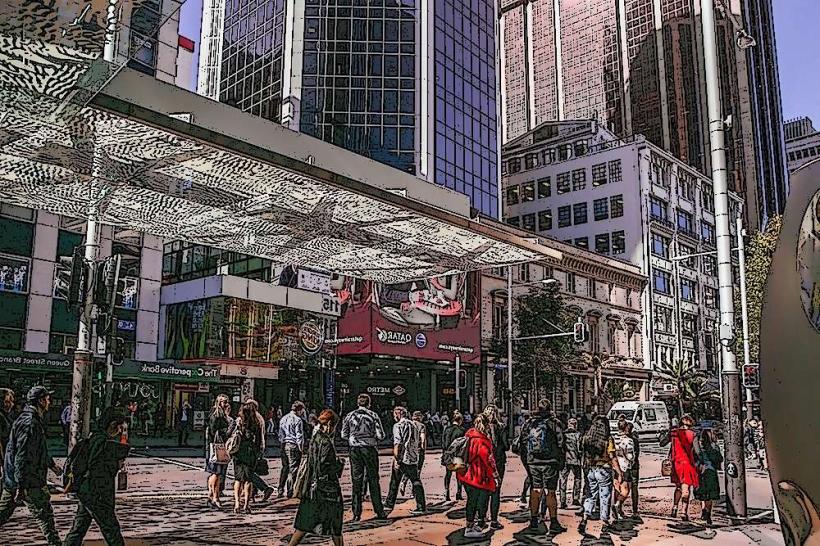
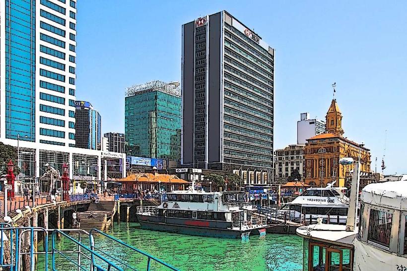
Access to Rangitoto Island is exclusively via ferry from downtown Auckland. The ferry terminal is located at the bottom of Queen Street. Ferries depart from Pier 4 at the Downtown Ferry Terminal. The ferry journey takes approximately 25 minutes. There is no vehicle access for the public. Parking is available in the downtown Auckland area, with several multi-story car parks near the ferry terminal.
Historical & Ecological Origin
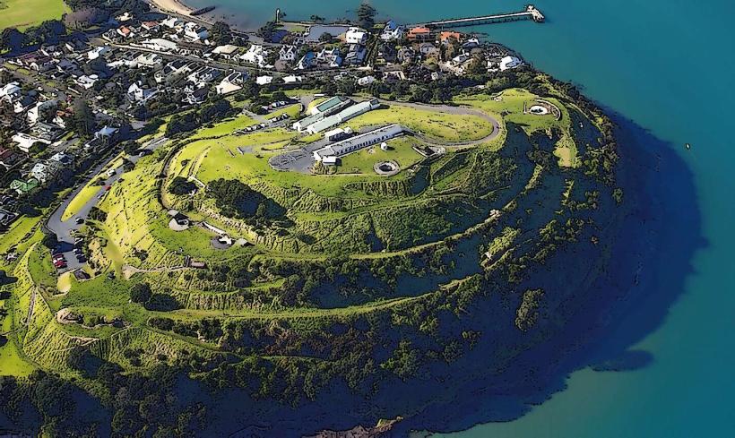
Rangitoto Island is a shield volcano that formed approximately 600 years ago through a single, massive eruption. Its formation is a relatively recent geological event in the Auckland Volcanic Field. The island is classified as a scoria cone volcano.
Key Highlights & Activities
Hiking to the summit crater is a primary activity, offering panoramic views of Auckland and the Hauraki Gulf. The summit track is approximately 3km one way. Exploring the lava caves, particularly the large cave near the summit, is also possible. Kayaking around the island's perimeter is an option for experienced kayakers. The island is a Department of Conservation reserve, with walking tracks maintained.
Infrastructure & Amenities
Basic facilities are available at the Islington Bay wharf area, including composting toilets. There are no shops or food vendors on the island; visitors must bring all food and water. Cell phone signal is intermittent and generally poor across the island.
Best Time to Visit
The best time for hiking and summit views is during daylight hours. Clear mornings and late afternoons offer optimal lighting for photography. The weather is generally most stable and pleasant between December and March (summer months). High tide is not a factor for access or activities.
Facts & Legends
Rangitoto is Māori for "Sky that Weeps," a name derived from a battle where the sky wept for the defeated warriors. A specific tip for visitors is to wear sturdy footwear due to the uneven, rocky terrain.
Nearby Landmarks
- Motutapu Island (0.1km South) - Accessible via a causeway from Rangitoto.
- Bean Rock Lighthouse (3.5km West) - Visible from Rangitoto.
- Browns Bay Beach (4.2km Northwest) - Coastal area on the mainland.
- Takapuna Beach (4.8km Southwest) - Coastal area on the mainland.
- Mount Victoria (5.0km Southwest) - Another volcanic cone on the North Shore.