Information
Landmark: Hiroshima Bay AreaCity: Hiroshima
Country: Japan
Continent: Asia
Hiroshima Bay Area, Hiroshima, Japan, Asia
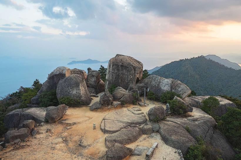
The Hiroshima Bay Area is a coastal region situated in Hiroshima Prefecture, Japan. It encompasses the waters and surrounding landmasses adjacent to the city of Hiroshima.
Visual Characteristics
The bay's waters vary in color from deep blue to greenish-grey depending on depth and sediment load. The coastline features a mix of industrial port facilities, sandy beaches, and rocky outcrops. Vegetation along the shore includes salt-tolerant grasses and scattered pine trees. Islands within the bay exhibit varied topography, from low-lying sandbars to more elevated, forested hills.
Location & Access Logistics
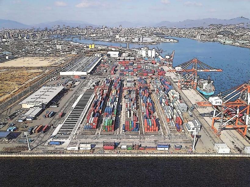
The Hiroshima Bay Area is directly accessible from the city of Hiroshima. The main port facilities are located south of the city center, approximately 5km from Hiroshima Station. Access is via Prefectural Route 261 and National Route 487. Ample parking is available at designated port areas and public beaches. Public transport options include the Hiroshima Electric Railway streetcar lines (e.g., Line 2) to Miyajimaguchi, from where ferries depart for Miyajima Island. Local bus services also connect coastal towns within the bay area.
Historical & Ecological Origin
The bay's formation is primarily a result of tectonic activity and subsequent sea-level rise over millennia, creating a ria coastline. Historically, the area has served as a vital maritime trade route and fishing ground for centuries. The port of Hiroshima was significantly developed in the late 19th and early 20th centuries for industrial and military purposes.
Key Highlights & Activities
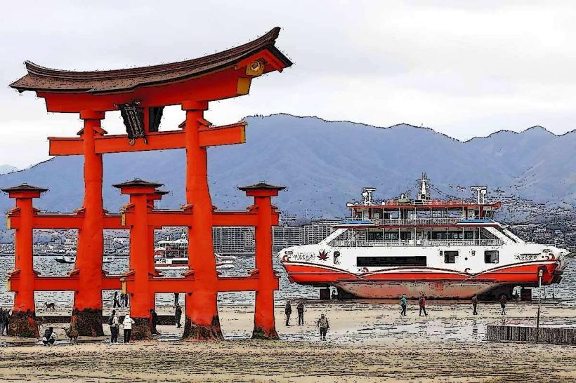
Ferry services operate to Miyajima Island, a UNESCO World Heritage site. Kayaking and paddleboarding are possible in calmer sections of the bay. Fishing from piers and shorelines is a common activity. Birdwatching is notable, particularly during migratory seasons. Several beaches offer opportunities for sunbathing and swimming during warmer months.
Infrastructure & Amenities
Restrooms are available at major ferry terminals and public beaches. Shade structures are present at some beaches and parks. Cell phone signal (4G/5G) is generally strong throughout the bay area, especially near populated centers. Food vendors and small restaurants are located near ferry ports and larger beach access points.
Best Time to Visit
For pleasant weather and outdoor activities, the months of April to May and September to October are optimal. Mid-morning to late afternoon offers the best natural light for photography. High tide is generally preferred for water-based activities like kayaking.
Facts & Legends
A local legend associated with the bay speaks of a sea dragon that protects the islands, influencing the tides and weather. Historically, the bay was a strategic naval location, with fortifications present in earlier centuries.
Nearby Landmarks
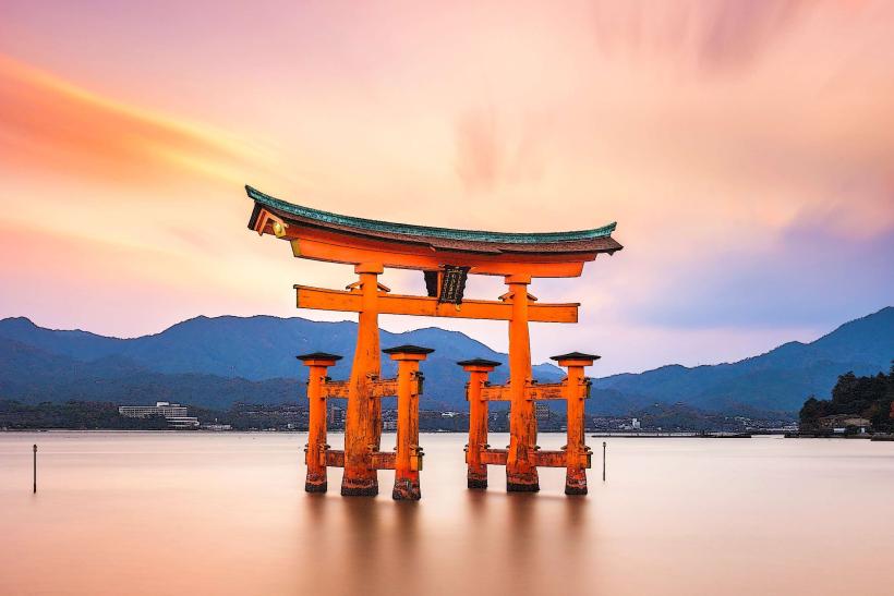
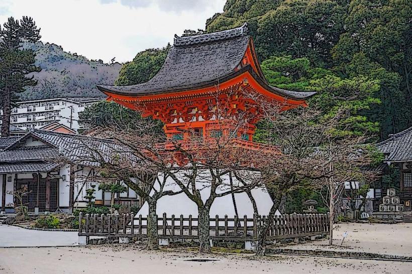
- Miyajima Island (Itsukushima Shrine): 10km Southwest (Ferry access)
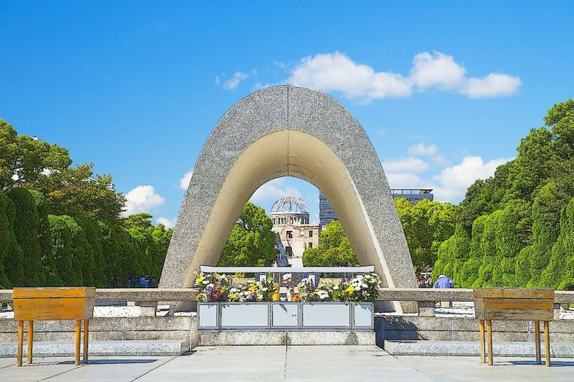
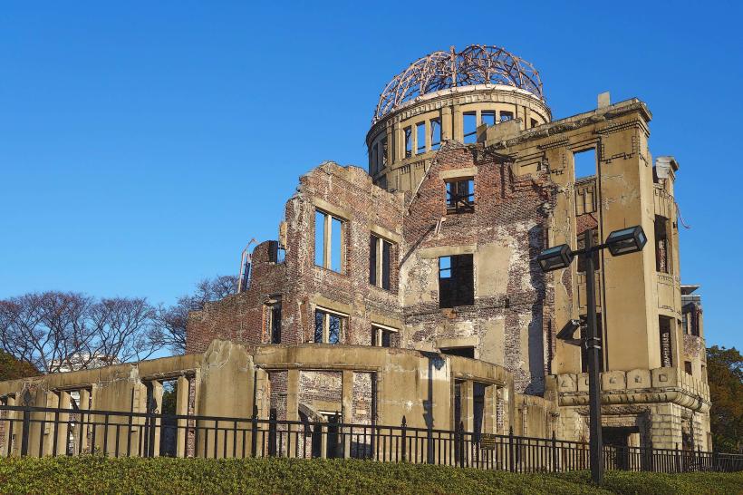
- Peace Memorial Park and Museum: 7km Northwest
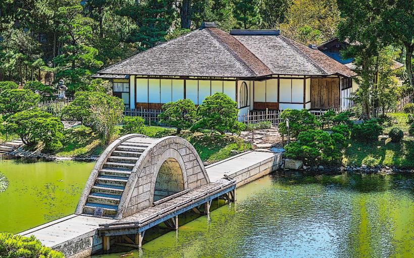
- Shukkei-en Garden: 8km Northwest
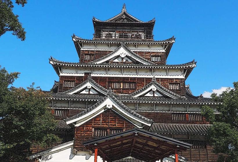
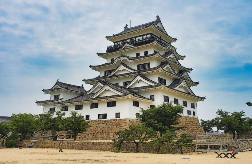
- Hiroshima Castle: 8km Northwest
- Ujina Port: 4km South