Information
Landmark: Hobas LookoutCity: Keetmanshoop
Country: Namibia
Continent: Africa
Hobas Lookout, Keetmanshoop, Namibia, Africa
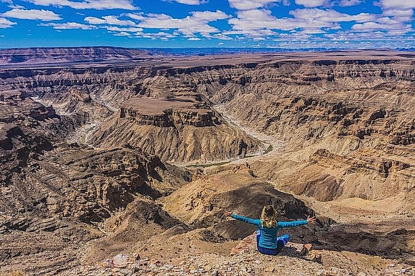
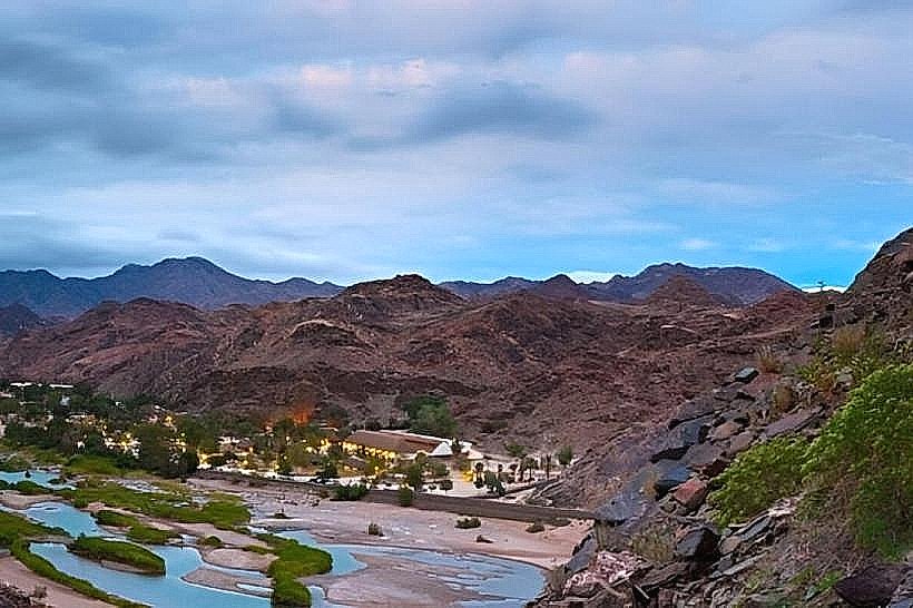
The Hobas Lookout is the primary public vantage point for the Fish River Canyon, located within the Ai-Ais/Richtersveld Transfrontier Park in southern Namibia. It is situated 10 km from the Hobas rest camp and park gate.
Visual Characteristics
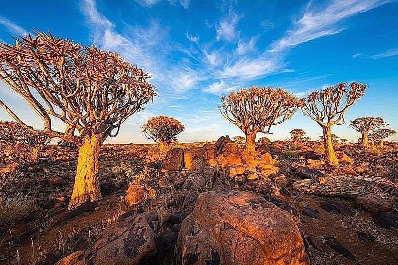
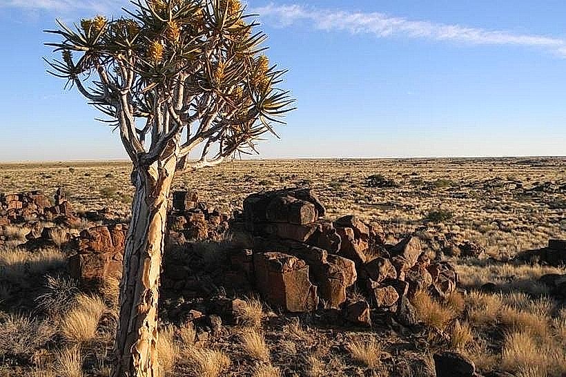
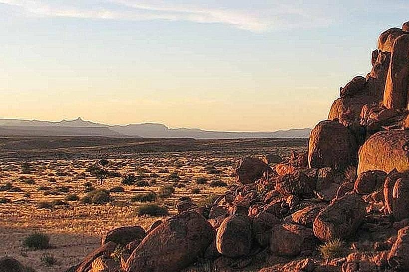
The lookout provides an unobstructed panoramic view of the "Hell’s Corner" or "Horse Shoe" bend, where the Fish River makes a sharp 180-degree turn. The landscape is characterized by sheer, multi-layered sedimentary rock walls dropping 550 meters to the canyon floor. The terrain at the rim is flat, rocky, and barren, with sparse vegetation consisting of drought-resistant shrubs and occasional Quiver Trees.
Location & Access Logistics
Access: Reached via the C37 gravel road. From the Hobas gate, a gravel track leads 10 km to the canyon rim. It is accessible by 2WD vehicles, though high clearance is preferable.
Permits: An entry permit must be purchased at the Namibia Wildlife Resorts (NWR) office at the Hobas gate before proceeding to the lookout.
Hours: Typically open from sunrise to sunset.
Historical & Geological Origin
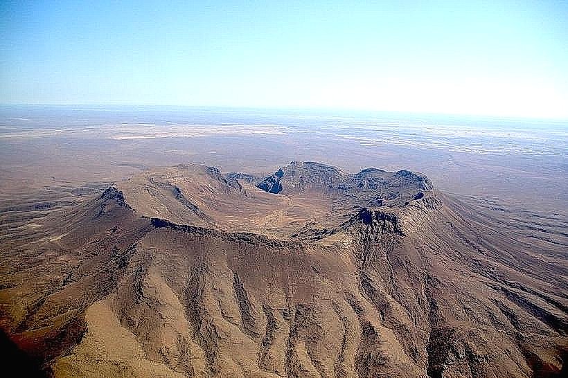
The lookout sits above a geological interface. The upper canyon was formed by tectonic plate movements (faulting) approximately 500 million years ago, while the lower, deeper canyon was carved by the erosive force of the Fish River. The rock strata visible from the lookout include Nama Group sediments and older metamorphic basement rocks.
Key Highlights & Activities
Iconic Viewpoints: Besides the main deck, several footpaths lead to secondary viewpoints along the rim, such as the Hikers' Viewpoint.
Hiking Commencement: The 85 km Fish River Canyon Trail begins at a point near this lookout, where hikers descend a steep, boulder-strewn path to the canyon floor.
Photography: The site is optimized for wide-angle landscape photography. The canyon depths remain in shadow during midday; sunrise and sunset are the only times when the lower rock layers are fully illuminated.
Infrastructure & Amenities
Facilities: The lookout features a shaded wooden deck and stone-walled viewing platforms with safety railings.
Picnic Area: Basic shaded tables and braai (barbecue) pits are located near the parking area at the rim.
Note: There are no water or toilet facilities at the lookout itself; these are located 10 km back at the Hobas campsite.
Best Time to Visit
The "Golden Hour" (one hour after sunrise or before sunset) is the only time to capture the deep ochre and purple hues of the rock faces. During winter (May–August), the air is clearest, providing visibility across the entire 27 km width of the canyon.
Facts & Legends
A specific geological fact: from this lookout, one can clearly see the "Great Unconformity," a gap in the geological record where younger sedimentary rocks sit directly on much older metamorphic rocks. Local Nama folklore describes the canyon's winding path as the trail left by a giant escaping serpent.
Nearby Landmarks
Hobas Campsite: 10 km East
Ais-Ais Hot Springs: 70 km South
Canyon Roadhouse: 15 km East
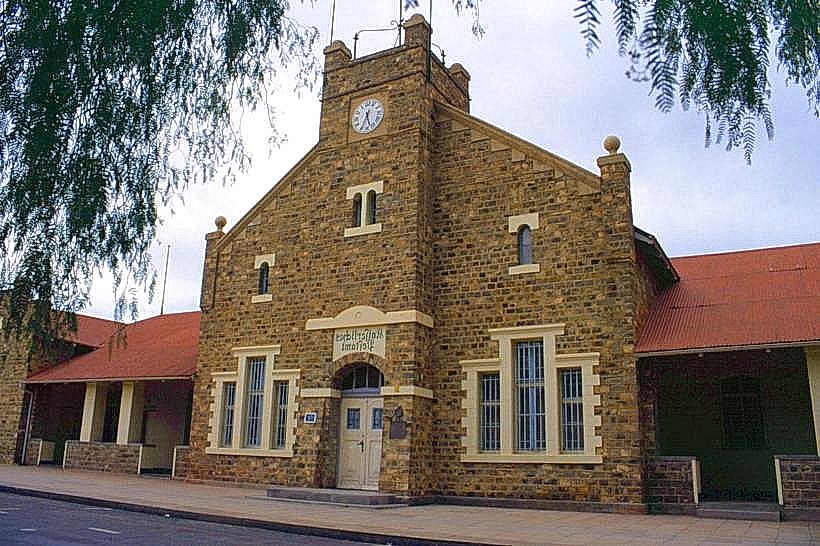
Keetmanshoop: 180 km North-East