Information
Landmark: Hoyo de PelempitoCity: Pedernales
Country: Dominican Republic
Continent: North America
Hoyo de Pelempito, Pedernales, Dominican Republic, North America
Hoyo de Pelempito is a vast geological depression located within the Sierra de Bahoruco National Park, situated near the city of Pedernales in the Dominican Republic.
Visual Characteristics
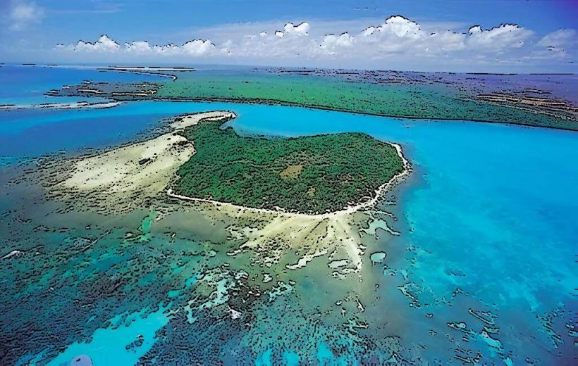
The depression forms a large, amphitheater-like basin, approximately 10 kilometers in diameter. Its steep, forested walls rise dramatically, reaching heights of up to 700 meters from the basin floor. The interior of the depression is covered in dense vegetation, primarily pine forests and cloud forest ecosystems, presenting a deep green hue.
Location & Access Logistics
Access to Hoyo de Pelempito is primarily via unpaved, rugged roads from Pedernales. The site is located approximately 50 kilometers northeast of the city center. A 4x4 vehicle is required for the journey due to the challenging terrain. There is no formal parking lot, but vehicles can be parked at designated observation points near the visitor center. Public transportation options do not extend directly to the site.
Historical & Ecological Origin
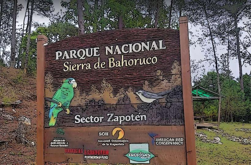
Hoyo de Pelempito is a geological depression, believed to be a collapsed karst formation or a tectonic graben, formed over millions of years through geological processes. It is an integral part of the Sierra de Bahoruco National Park, which is recognized for its high biodiversity and unique ecosystems, including cloud forests, pine forests, and a variety of endemic flora and fauna.
Key Highlights & Activities
Visitors can observe the expansive depression from several designated viewpoints, offering panoramic vistas of the geological formation and surrounding forests. Hiking trails are available within the broader national park, though access to the basin floor of Hoyo de Pelempito is restricted and typically requires special permits for research or guided expeditions.
Infrastructure & Amenities
Basic restroom facilities are available at the main observation point and visitor center. Natural shade is provided by the surrounding tree cover. Cell phone signal (4G) can be intermittent or absent within the depression itself, but may be available at higher elevations near the visitor center. There are no permanent food vendors on site; visitors are advised to bring their own provisions.
Best Time to Visit
The optimal time to visit Hoyo de Pelempito is during the dry season, which typically runs from December to April. During these months, road conditions are more favorable, and clearer skies enhance visibility for panoramic views. Mornings are generally recommended for photography due to softer light and reduced atmospheric haze.
Facts & Legends
Local folklore sometimes attributes the formation of Hoyo de Pelempito to a meteorite impact, though geological studies confirm its terrestrial origin as a natural depression. It is one of the deepest depressions in the Caribbean, with its lowest point reaching approximately 700 meters below sea level, creating a unique microclimate.
Nearby Landmarks
- Hoyo de Pelempito Visitor Center: 0.5km North
- Mirador del Valle: 2.0km East
- Sendero de la Neblina: 3.0km Southwest
- Pico del Viento: 4.5km Northwest
- Arroyo Seco: 3.5km South