Information
Landmark: John D. Long LakeCity: Spartanburg
Country: USA South Carolina
Continent: North America
John D. Long Lake, Spartanburg, USA South Carolina, North America
John D. Long Lake is a reservoir located in Spartanburg, South Carolina. It serves as a primary water source for the surrounding region.
Visual Characteristics
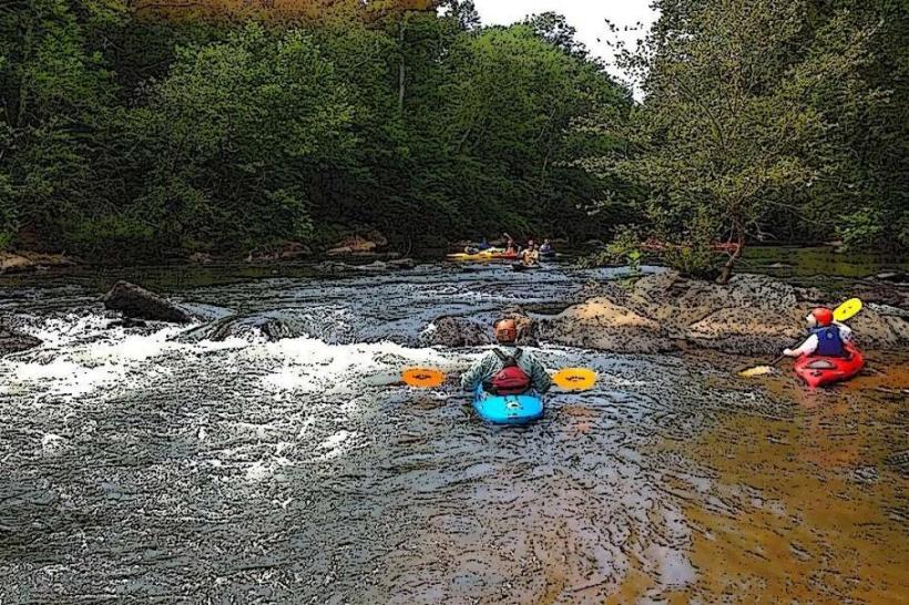
The lake's surface area is approximately 150 acres. Water color varies from murky brown to greenish depending on recent rainfall and algae bloom. The shoreline is predominantly composed of clay and gravel, with some areas featuring dense deciduous and coniferous vegetation.
Location & Access Logistics
John D. Long Lake is situated approximately 10 kilometers southwest of downtown Spartanburg. Access is primarily via State Road 11 (also known as Old Georgia Road). Turn onto Lake Road from State Road 11. Parking is available at a designated gravel lot near the dam, with capacity for approximately 30 vehicles. No public transport directly serves the lake.
Historical & Ecological Origin
The lake was created in 1962 with the construction of the John D. Long Dam. The dam's purpose was to provide a reliable water supply for Spartanburg and surrounding communities and to control downstream flooding. It is an artificial impoundment of the Pacolet River.
Key Highlights & Activities
Fishing is permitted from the shoreline and designated areas. Boating is allowed, but only with electric motors or non-motorized craft. Kayaking and paddleboarding are common activities. Hiking trails circumnavigate portions of the lake, with the main trail being approximately 5 kilometers in length.
Infrastructure & Amenities
Restrooms are available at the main parking area. Limited shade is provided by trees along the shoreline. Cell phone signal (4G) is generally available, though it can be intermittent in certain coves. No food vendors are located directly at the lake; visitors should bring their own provisions.
Best Time to Visit
For photography, early morning (sunrise) and late afternoon (sunset) offer the most favorable lighting conditions. The months of April through October generally provide the most pleasant weather for outdoor activities. Water levels are typically stable year-round, with no specific tide requirements.
Facts & Legends
A local anecdote suggests that during the dam's construction, workers discovered a large, unusually shaped rock formation at the riverbed, which was subsequently buried beneath the dam. The origin of this rock remains a subject of local speculation.
Nearby Landmarks
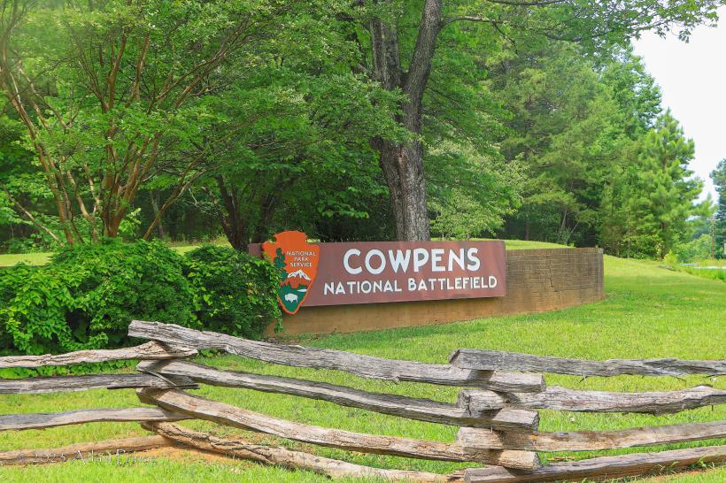
- Cowpens National Battlefield (12km Northeast)
- Hatcher Garden and Woodland Preserve (8km North)
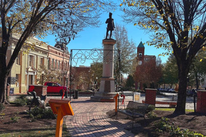
- Spartanburg Downtown Memorial Airport (9km North)
- Milliken & Company Headquarters (7km North)