Information
Landmark: Pacolet RiverCity: Spartanburg
Country: USA South Carolina
Continent: North America
Pacolet River, Spartanburg, USA South Carolina, North America
The Pacolet River is a waterway located in Spartanburg, South Carolina. It flows through the upstate region of the state.
Visual Characteristics
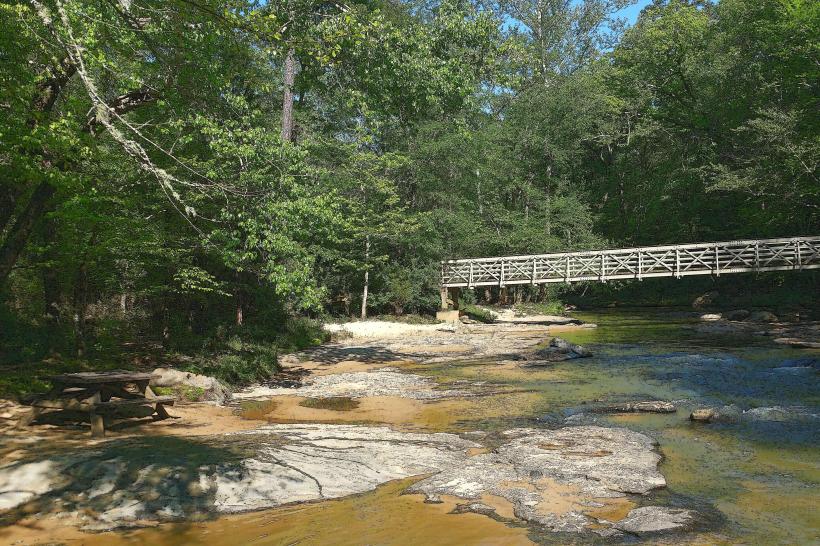
The river's width varies, generally ranging from 15 to 40 meters. Water color is typically brown to green, influenced by sediment load and local vegetation. The riverbed consists of gravel, sand, and exposed bedrock in certain sections. Banks are lined with deciduous trees and undergrowth, with some areas featuring exposed rock faces.
Location & Access Logistics
Access points are primarily via local roads branching off SC Highway 176. The closest major city is Spartanburg, approximately 15 kilometers to the southeast. Parking is available at designated pull-offs along River Road and Pacolet Road. Public transport options are limited; the nearest bus routes operate within Spartanburg city limits, requiring a taxi or private vehicle for river access.
Historical & Ecological Origin
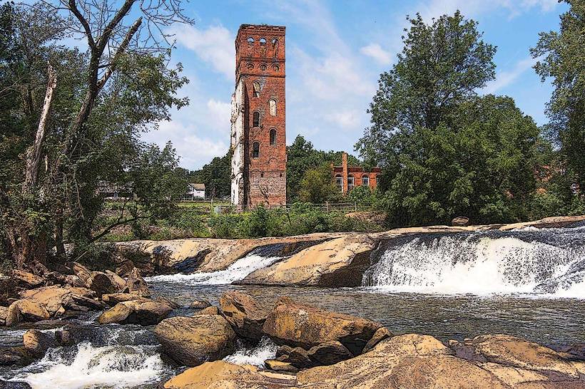
The Pacolet River is a tributary of the Broad River. Its geological origin is tied to the Piedmont region's erosion patterns, carved over millennia. Historically, the river powered early industrial mills in the 19th century, with remnants of mill dams still visible in some locations.
Key Highlights & Activities
Kayaking and canoeing are possible during periods of sufficient water flow. Fishing for species such as bass and catfish is permitted. Hiking trails follow sections of the riverbank, offering views of the water and surrounding flora. Birdwatching is a common activity due to the diverse riparian ecosystem.
Infrastructure & Amenities
Limited infrastructure exists directly along the river. Designated parking areas are unpaved. Restrooms and food vendors are not present at most access points; these amenities are available in nearby towns like Cowpens and Pacolet. Cell phone signal strength varies significantly, with 4G coverage being intermittent.
Best Time to Visit
For water activities, late spring and early autumn offer moderate temperatures and stable water levels. Mid-morning provides optimal lighting for photography, reducing harsh shadows. Avoid visiting after heavy rainfall, as water levels can rise rapidly and currents become dangerous.
Facts & Legends
Local lore suggests that during the Civil War, Confederate soldiers used the river's bends for strategic cover. A specific point known as "The Narrows" is said to have been a frequent crossing point.
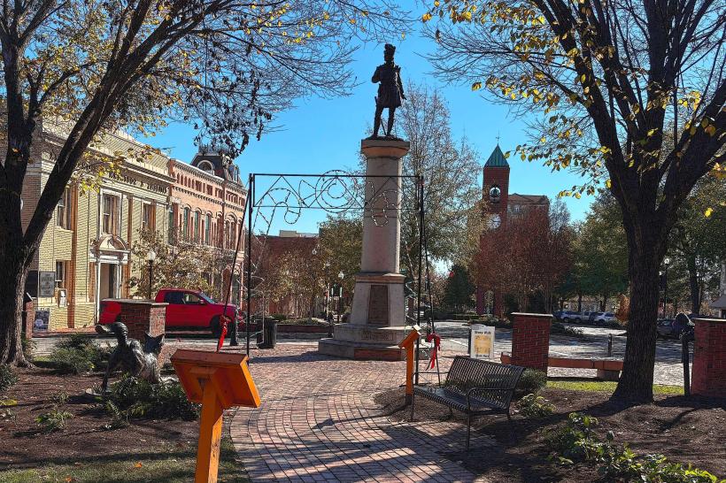
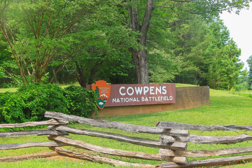
Nearby Landmarks
- Cowpens National Battlefield (3.5km Northwest)
- Mary Black Memorial Hospital (12km Southeast)
- Spartanburg Downtown Memorial Airport (14km Southeast)
- Walnut Grove Plantation (16km Southwest)