Information
Landmark: Kamenica ParkCity: Banja Luka
Country: Bosnia and Herzegovina
Continent: Europe
Kamenica Park, Banja Luka, Bosnia and Herzegovina, Europe
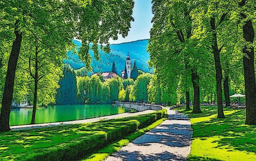
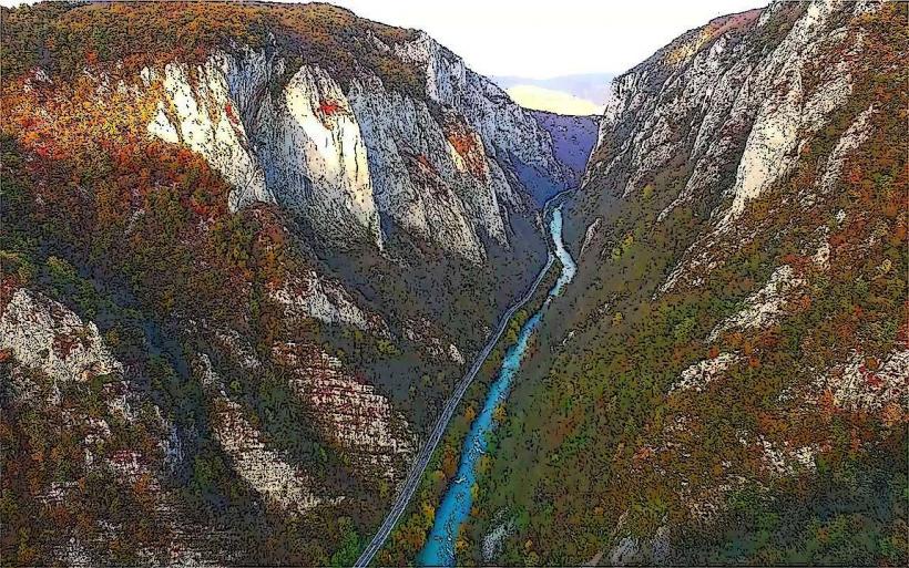
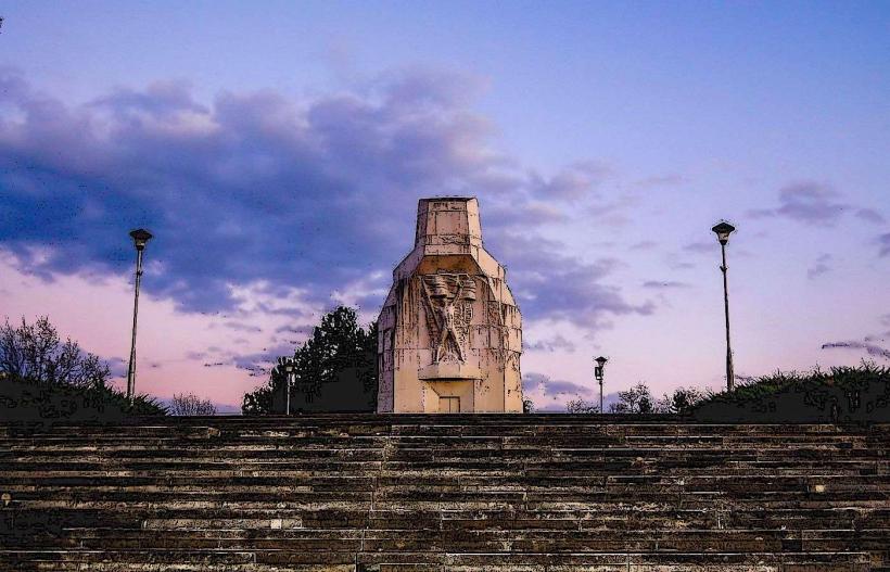
Kamenica Park is a public recreational area located along the right bank of the Vrbas River in the southern part of Banja Luka, Bosnia and Herzegovina. It serves as a natural buffer between the urban center and the more densely forested periphery of the city.
Visual Characteristics
The park is characterized by dense deciduous forest cover, primarily consisting of oak, beech, and maple trees. The terrain is varied, featuring flat grassy clearings alongside steep limestone embankments leading down to the river. The soil is predominantly dark forest loam, and the riverbank sections consist of smooth, water-worn grey pebbles and exposed rock formations.
Location & Access Logistics
Access is via the M-16 (Karanovac-Banja Luka) road, approximately 5 km south of the city center. Public transport is available via bus line 1, which stops near the main entrance on the E661 route. Limited unpaved parking is available at the park perimeter. The site is accessible by bicycle via the riverside path connecting the city to the Karanovac bridge.
Historical & Ecological Origin
The park is a protected natural area within the Vrbas River Canyon ecosystem. While it has functioned as a public green space since the mid-20th century, its ecological classification is a temperate broadleaf forest. It was designated for preservation to prevent erosion along the riverbanks and to maintain local biodiversity.
Key Highlights & Activities
Walking and jogging are possible on the primary gravel paths. Fishing is permitted in the Vrbas River with a valid local license. Several designated spots along the riverbank are used for swimming during summer months when water levels are lower. The area is a starting point for uphill hiking trails leading towards the Manjača plateau.
Infrastructure & Amenities
Infrastructure is minimal. There are no public restrooms or permanent food vendors within the park boundaries. Benches and trash receptacles are located along the main path. Mobile signal strength is high (4G/5G) due to its proximity to the city. Shade is abundant throughout the day due to the heavy tree canopy.
Best Time to Visit
The best months for weather are May through September. Photography is optimal in the early morning (7:00 AM to 9:00 AM) when the sun rises over the eastern cliffs, illuminating the river. During autumn, the high density of deciduous trees provides significant color contrast for landscape photography.
Facts & Legends
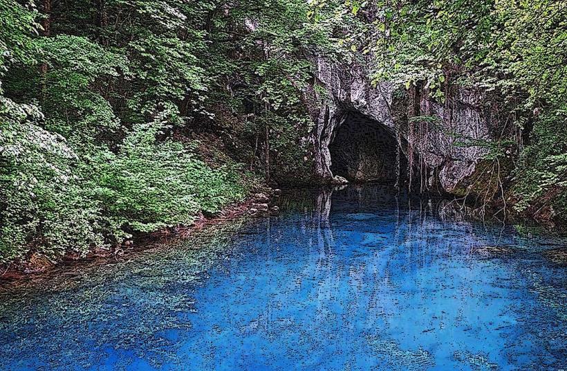
The park area is known locally for its "cold springs" that maintain a constant temperature regardless of the season. Local lore suggests these waters have mineral properties beneficial for skin ailments, though this remains scientifically unverified.
Nearby Landmarks
Krupa Waterfalls – 4.8km South
Banj Brdo (Trešnjik) – 3.2km North
Karanovac Bridge – 1.5km South
Orthodox Church of St. Elijah – 2.1km West