Information
Landmark: Ke'anae PeninsulaCity: Maui
Country: USA Hawaii
Continent: North America
Ke'anae Peninsula, Maui, USA Hawaii, North America
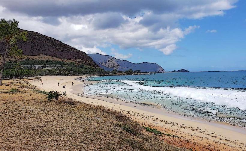
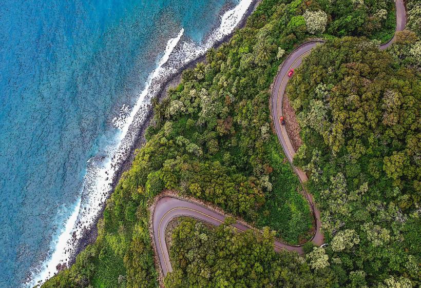
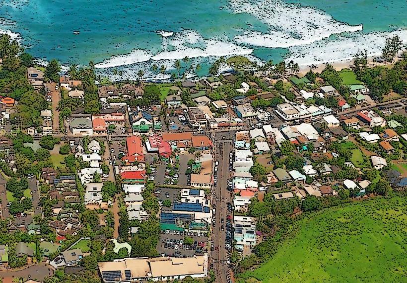
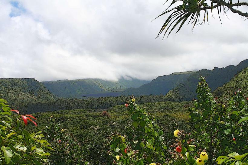
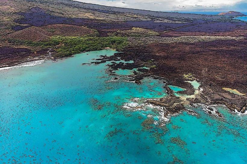
The Ke'anae Peninsula is a geological formation extending into the Pacific Ocean on the northeastern coast of Maui, Hawaii, USA.
It is characterized by its rugged coastline and historical agricultural significance.
Visual Characteristics
The peninsula features dark, volcanic rock formations along its shoreline, contrasting with the deep blue of the Pacific Ocean. Inland, the landscape is dominated by taro patches, a staple crop in Hawaiian agriculture, interspersed with coconut groves. The vegetation is dense and green, particularly in the wetter months.
Location & Access Logistics
The Ke'anae Peninsula is located approximately 17 miles (27 km) east of Kahului Airport. Access is via the Hana Highway (Route 360). Parking is available at designated pull-offs along the highway overlooking the peninsula. There are no direct public transport routes to the peninsula itself; visitors typically drive.
Historical & Ecological Origin
The peninsula is a lava flow that extended into the ocean, creating a distinct landmass. Historically, it has been a center for taro cultivation, a practice dating back to ancient Hawaiian times. The traditional agricultural methods, including the use of loʻi (irrigated terraces), are still maintained by some residents.
Key Highlights & Activities
Visitors can observe the traditional taro fields and the historic Ke'anae Congregational Church. Walking along the coastal paths offers views of the ocean and rock formations. Photography of the landscape and agricultural terraces is a primary activity.
Infrastructure & Amenities
Restrooms are available at a small public facility near the church. Shade is provided by coconut trees in certain areas. Cell phone signal can be intermittent due to the remote location. Food vendors are not consistently present; visitors should plan to bring provisions.
Best Time to Visit
The best time of day for photography is generally mid-morning or late afternoon when the sun angle provides optimal lighting on the terraces and coastline. The weather is typically wetter from November to March, which enhances the greenness of the taro fields. There are no tide-specific requirements for viewing the peninsula.
Facts & Legends
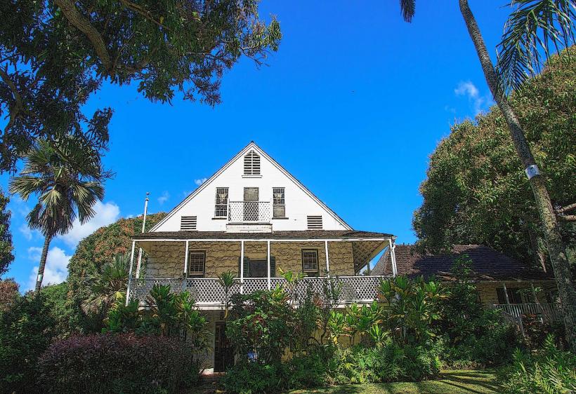
A notable feature is the Ke'anae Congregational Church, built in 1856 from coral blocks and lava rock. It is one of the few remaining original structures from that era in the region. Local lore speaks of the resilience of the Ke'anae people in maintaining their agricultural traditions despite the challenging coastal environment.
Nearby Landmarks
- 0.8km West: Wailua Valley State Wayside
- 2.5km East: Upper Waikani Falls
- 4.0km East: Pua'a Ka'a State Wayside Park