Information
Landmark: Road to HanaCity: Maui
Country: USA Hawaii
Continent: North America
Road to Hana, Maui, USA Hawaii, North America
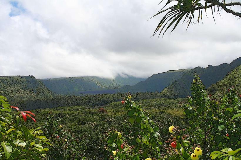
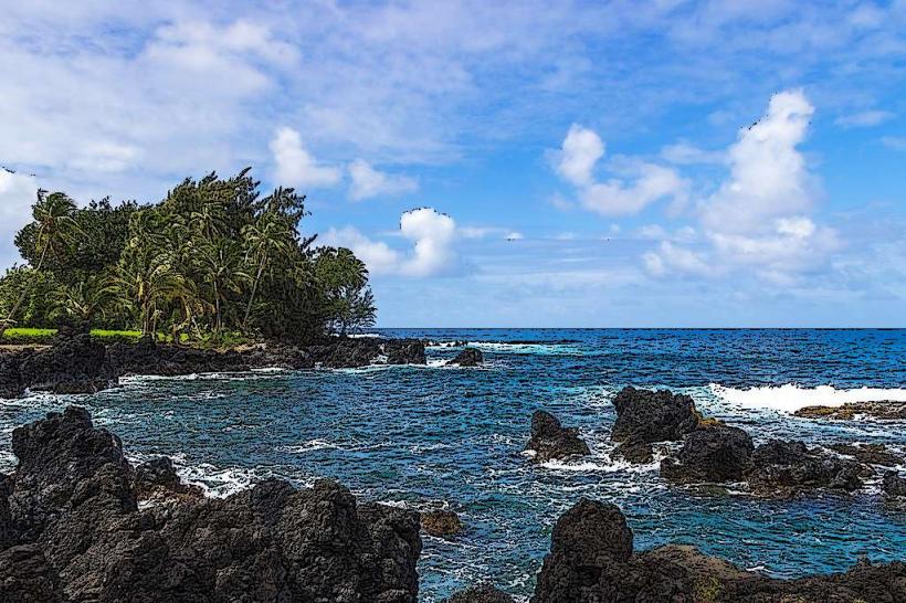
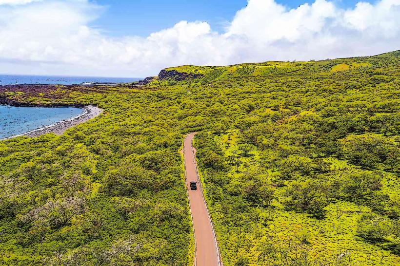
The Road to Hana is a 64.4-mile (103.6 km) highway on the island of Maui, Hawaii, USA, traversing the island's northeastern coast.
Visual Characteristics
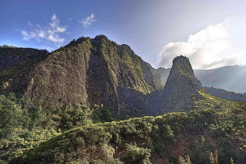
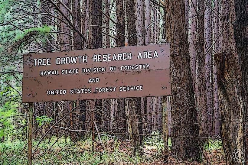
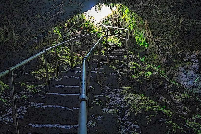
The highway is characterized by its winding path through dense tropical rainforest, featuring numerous waterfalls, streams, and coastal overlooks. Paved asphalt surface with varying degrees of maintenance. Vegetation is predominantly lush green foliage, including ferns, bamboo groves, and flowering trees. Numerous bridges cross streams and ravines.
Location & Access Logistics
The Road to Hana begins in Kahului, Maui, at the junction of Hana Highway (Route 36) and Kahekili Highway (Route 340). It continues east and south as Route 360. The drive from Kahului to Hana town is approximately 2-3 hours without stops. Parking is limited at many points of interest, particularly at popular waterfalls and beaches. Public transportation is not available along the entire route. Rental cars are the primary mode of transport. Some tour operators offer guided bus tours.
Historical & Ecological Origin
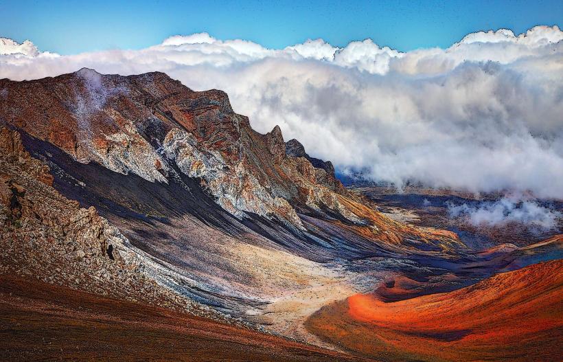
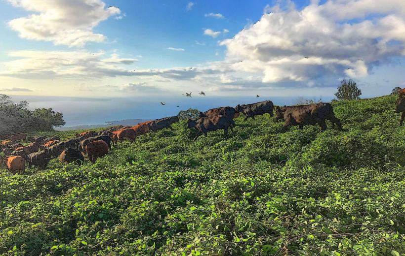
The road was constructed in stages, with significant development occurring between 1920 and 1962. It was originally built to connect the isolated communities on the eastern side of Maui. The route passes through diverse ecological zones, including coastal plains, montane wet forests, and agricultural lands. The area is geologically part of the Haleakala volcano's eastern rift zone.
Key Highlights & Activities
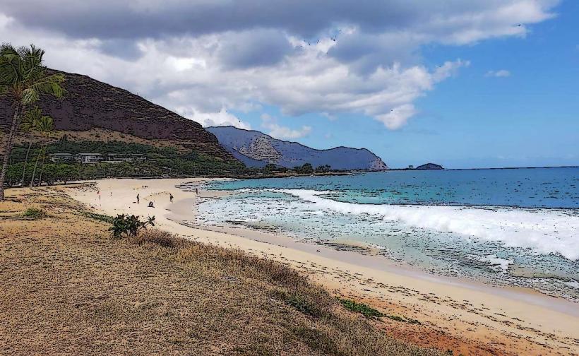
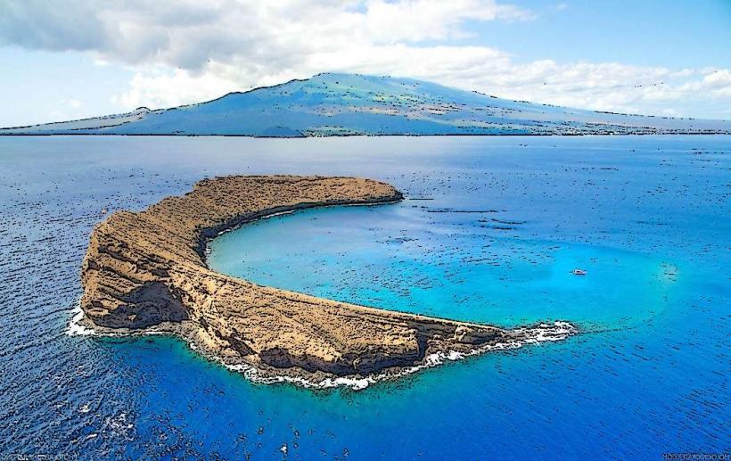
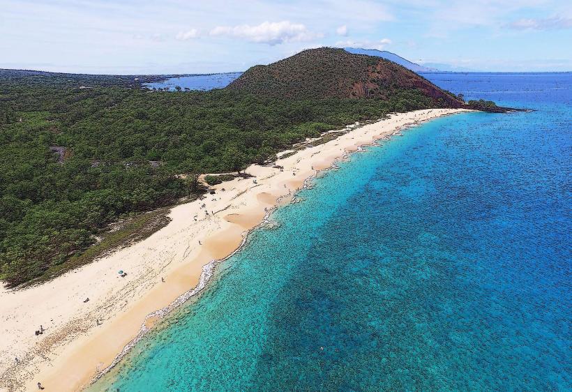
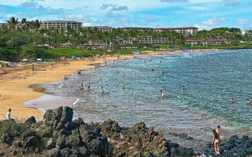
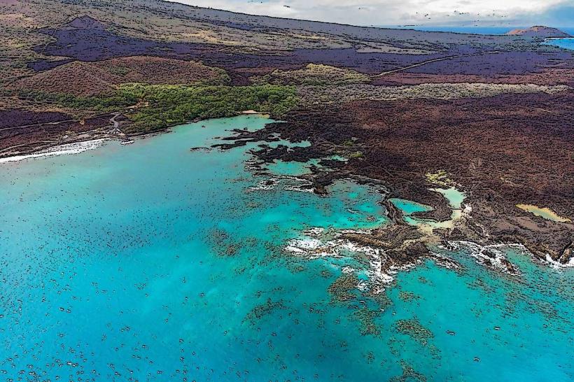
Activities include stopping at waterfalls such as Twin Falls and Wailua Falls for viewing and short hikes. Swimming is possible in designated pools at some waterfalls, subject to water conditions. Hiking trails are available at various state parks along the route, including Pipiwai Trail in Haleakala National Park. Beach access is available at Hamoa Beach and Waianapanapa State Park. Photography opportunities are abundant at scenic viewpoints.
Infrastructure & Amenities
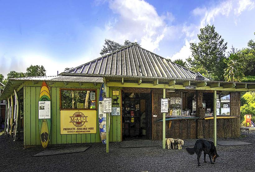
Restrooms are available at state parks and some designated rest stops. Shade is prevalent due to the dense forest canopy. Cell phone signal is intermittent and often unavailable in many sections of the road. Food vendors and small general stores are located in Hana town and at a few points along the route, offering local snacks and meals.
Best Time to Visit
The best time of day for photography is generally mid-morning to early afternoon when sunlight penetrates the forest canopy. The best months for weather are typically April through June and September through November, avoiding the heavier rainfall of winter months. High tide can affect beach access at some locations.
Facts & Legends
A local legend states that the demigod Maui fished the Hawaiian Islands out of the sea from this eastern coastline. A specific tip for visitors is to start the drive early in the morning (before 7 AM) to avoid traffic congestion, especially during peak tourist seasons.
Nearby Landmarks
- Haleakala National Park (Kipahulu District) - 10km Southeast
- Pa'iloa Beach (Waianapanapa State Park) - 5km East
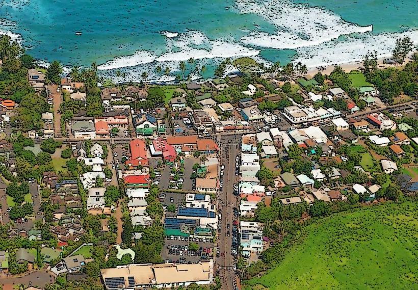
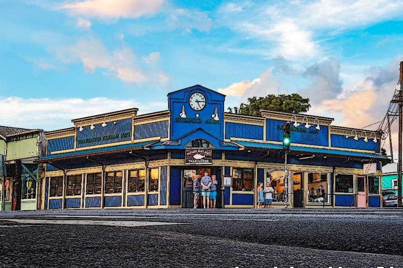
- Hana Town - 0km East
- Koki Beach - 7km East
- Hamoa Beach - 9km East