Information
Landmark: La Perouse BayCity: Maui
Country: USA Hawaii
Continent: North America
La Perouse Bay, Maui, USA Hawaii, North America
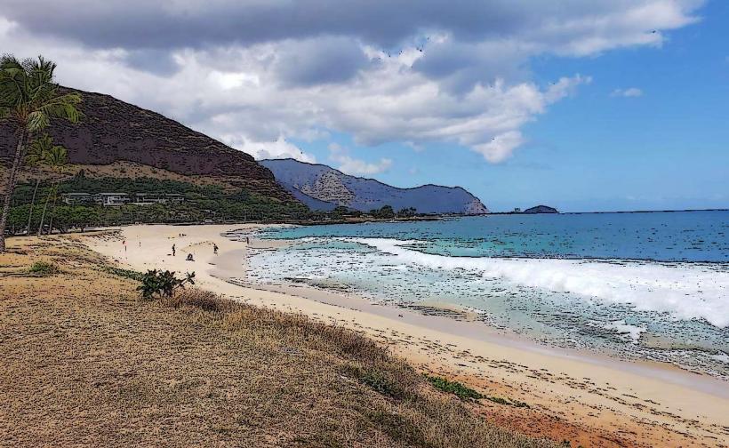
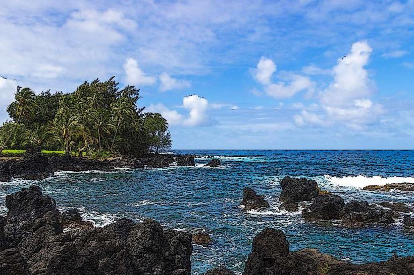
La Perouse Bay is a coastal area located on the southwestern tip of Maui, Hawaii, USA.
It is characterized by its rugged lava fields and clear ocean waters.
Visual Characteristics
The bay is defined by dark, porous ʻaʻā lava formations extending to the shoreline. The water color ranges from deep blue to turquoise, with visibility often exceeding 30 meters. Sparse, drought-resistant vegetation, primarily ʻōhiʻa lehua trees and various native shrubs, grows on the lava fields.
Location & Access Logistics
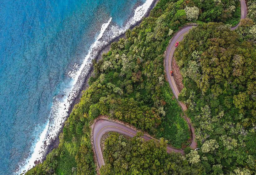
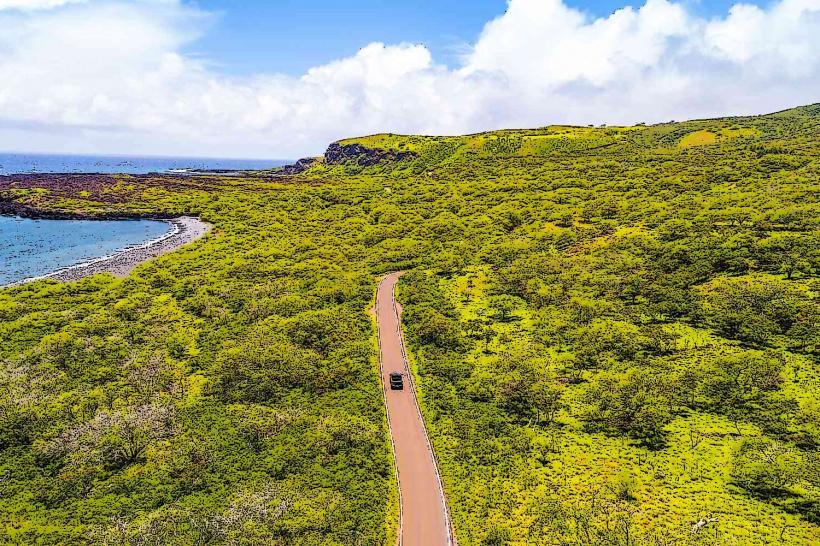
La Perouse Bay is situated at the terminus of Mākena Road (State Highway 31), approximately 10 kilometers south of the town of Mākena. The road is paved for most of the distance but transitions to a rough, unpaved track for the final 2 kilometers, requiring a 4WD vehicle for safe passage. Parking is available in an unpaved lot at the end of the road. Public transport does not service this location directly.
Historical & Ecological Origin
The bay is the result of the most recent volcanic eruption on Maui, originating from the Hōkūleʻa volcano, which occurred approximately 500 years ago. The landscape is a testament to recent ʻaʻā lava flow, creating a geologically young and dynamic environment.
Key Highlights & Activities
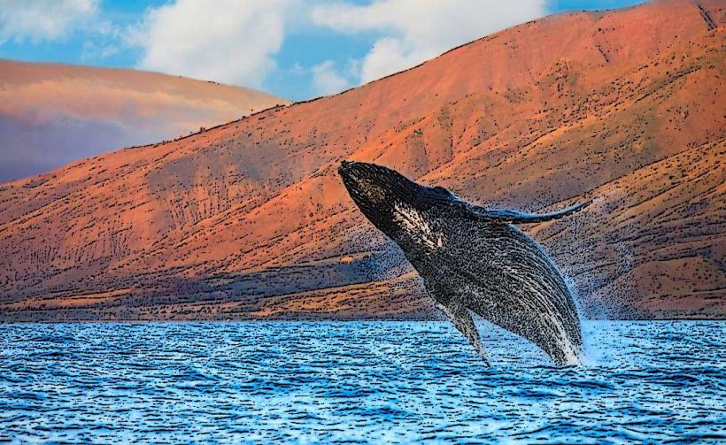
Snorkeling and diving are possible in the bay, particularly around the lava rock formations. Observing spinner dolphins is a common activity, though maintaining a safe distance is required. Hiking is permitted on marked trails through the lava fields. Photography of the volcanic landscape and marine life is also a primary activity.
Infrastructure & Amenities
There are no permanent restrooms or food vendors directly at La Perouse Bay. Visitors should bring their own water and supplies. Cell phone signal (4G/5G) is intermittent and unreliable within the bay area. Limited natural shade is available among the lava rocks.
Best Time to Visit
The early morning offers the best lighting for photography of the lava formations. The late afternoon provides softer light. The months of April through October generally offer calmer seas and warmer water temperatures suitable for water activities. Calm sea conditions are essential for snorkeling and diving.
Facts & Legends
Local legend states that the bay is a sacred place where the fire goddess Pele resides. It is also known as Keoneʻōʻio, meaning "the place of the ʻōʻio fish." A specific tip for visitors is to wear sturdy, closed-toe shoes due to the sharp and uneven lava rock terrain.
Nearby Landmarks
- Mākena State Park (Big Beach): 4km Northeast
- Little Beach: 4.5km Northeast
- ʻAhihi-Kīnaʻu Natural Area Reserve: 2km Northeast
- Molokini Crater (boat access): 15km East (visible from shore)