Information
Landmark: Khreshchatyk StreetCity: Kyiv
Country: Ukraine
Continent: Europe
Khreshchatyk Street, Kyiv, Ukraine, Europe
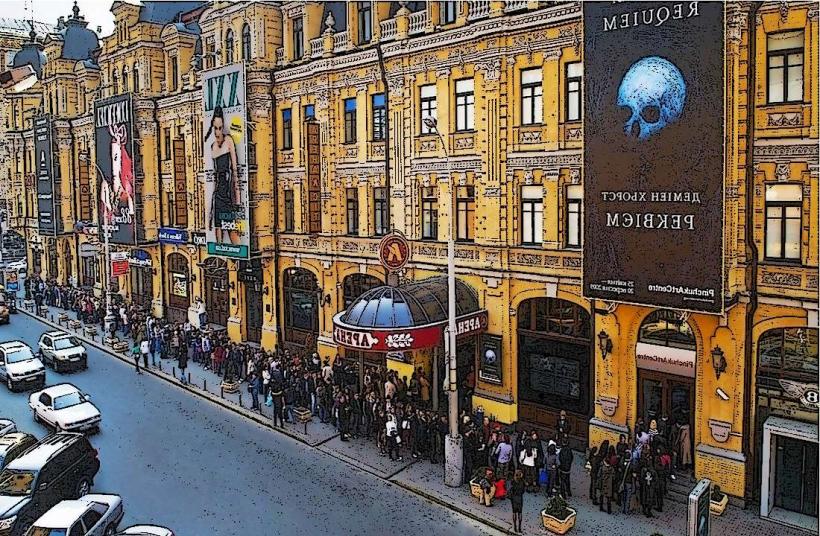
Khreshchatyk Street is the central street of Kyiv, Ukraine, a major thoroughfare known for its architectural ensemble and historical significance.
It extends approximately 1.2 kilometers from Bessarabian Square to the European Square.
Visual Characteristics
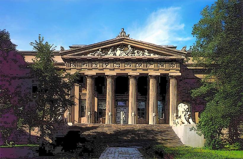
The street is characterized by its wide, multi-lane carriageway and sidewalks lined with imposing Stalinist Empire style buildings. These structures, constructed primarily between the late 1930s and mid-1950s, feature granite facades, decorative elements like columns and sculptures, and are typically 6 to 10 stories high. The dominant color palette is a combination of light grey, beige, and white stone.
Location & Access Logistics
Khreshchatyk Street is located in the Pecherskyi District of Kyiv. It is accessible via the Kyiv Metro system, with the Khreshchatyk station (Red Line) and Maidan Nezalezhnosti station (Blue Line) situated directly on or adjacent to the street. Numerous bus and trolleybus routes also serve the area. Parking is limited and often restricted, especially on weekends and during events. The street is approximately 1 kilometer from the Dnipro River.
Historical & Ecological Origin
The current appearance of Khreshchatyk Street is largely the result of post-World War II reconstruction. The original street, named "Khreshchatyi Yar" (Crossed Ravine), was developed in the late 19th and early 20th centuries. The Soviet government commissioned architects like Oleksiy Shchusev and Mykola Kolomiyets to redesign the street in the Stalinist style, aiming to create a grand administrative and residential center. The original purpose was to symbolize Soviet power and urban planning ideals.
Key Highlights & Activities
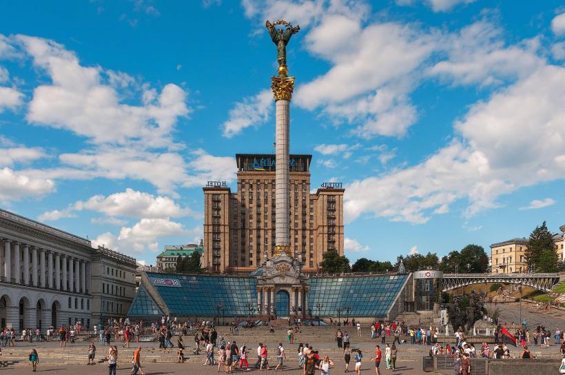
During weekends and public holidays, Khreshchatyk Street is often closed to vehicular traffic, allowing pedestrians to walk freely. Visitors can observe the architectural details of the surrounding buildings. The Maidan Nezalezhnosti (Independence Square) at one end of the street is a focal point for public gatherings and events. The street also hosts various street performers and temporary markets.
Infrastructure & Amenities
Restrooms are available in adjacent shopping centers and metro stations. Shade is provided by trees along some sections of the sidewalks and by the buildings themselves. Cell phone signal (4G/5G) is generally strong throughout the street. Numerous cafes, restaurants, and food vendors are located on and around Khreshchatyk Street.
Best Time to Visit
For photography, early morning or late afternoon light offers optimal illumination of the building facades. The best months for visiting are May through September, offering milder weather. The street is most accessible for pedestrian exploration on Saturdays and Sundays when traffic is restricted.
Facts & Legends
During the Soviet era, Khreshchatyk Street was considered one of the widest streets in Europe. A persistent urban legend suggests that a secret underground metro line runs beneath the street, intended for high-ranking officials, though this remains unverified.
Nearby Landmarks
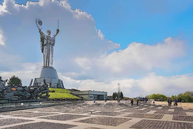
- Maidan Nezalezhnosti (Independence Square) - 0.1km West
- National Bank of Ukraine - 0.3km North-East
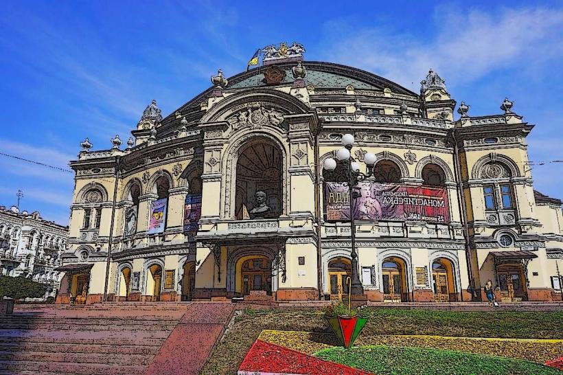
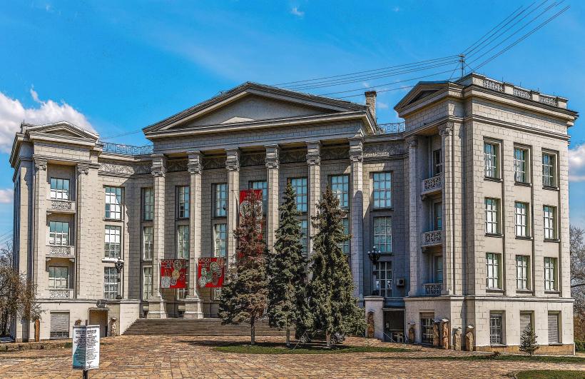
- National Opera of Ukraine - 0.7km North-West
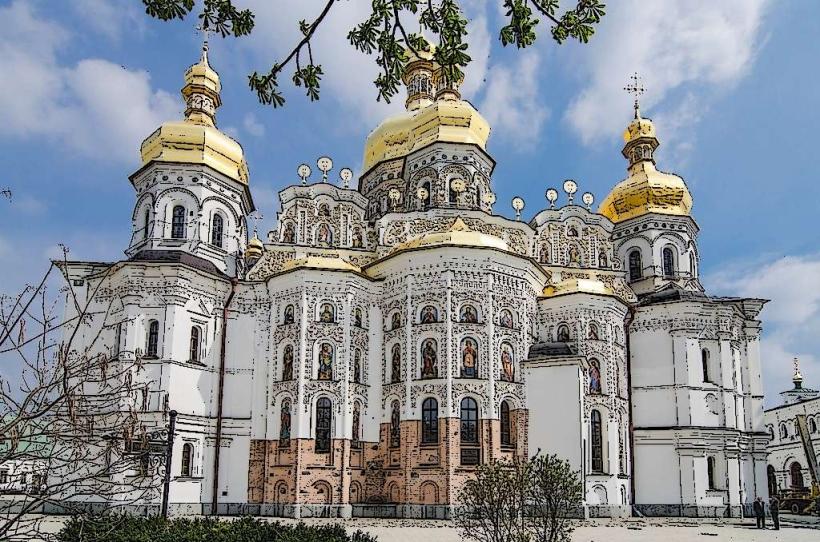
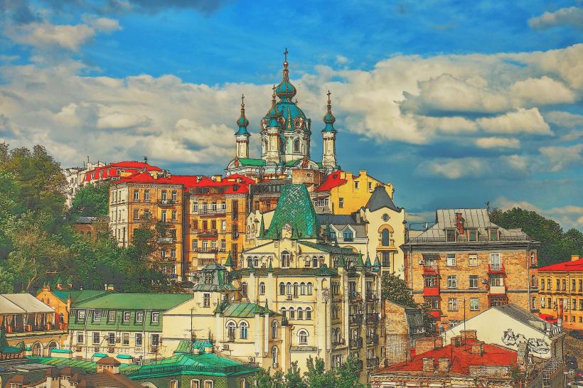
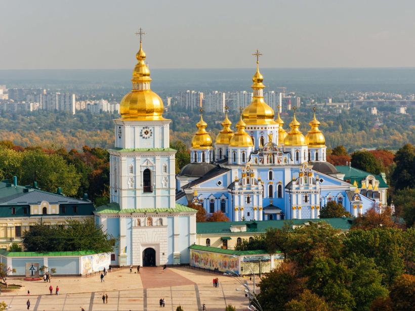
- St. Michael's Golden-Domed Monastery - 0.9km North-West
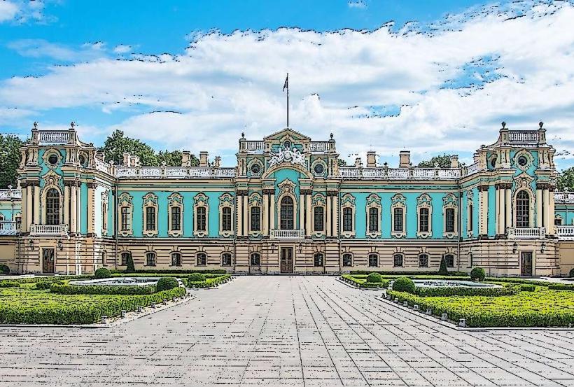
- Mariinskyi Palace - 1.1km South-East